

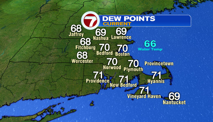
It’s still warm, it’s still muggy, but changes to conditions are already happening here in Southern New England.
First of all, it’s becoming breezier, and will keep doing so as we head into the afternoon. Expect gusts in the 20s by the end of the day. It’s also a cloudier day overall. We’ll get some peeks of sunshine, but clouds are considerably more abundant than they were yesterday.
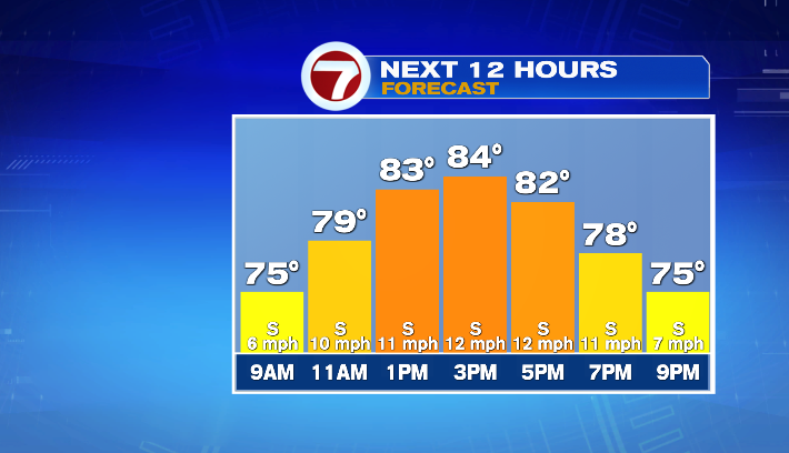
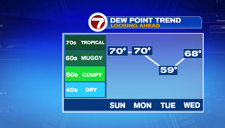
Otherwise, temperatures will once again be in the low to mid 80s today, while dew point temperatures remain in the 60s and 70s — a super sticky feel for sure!
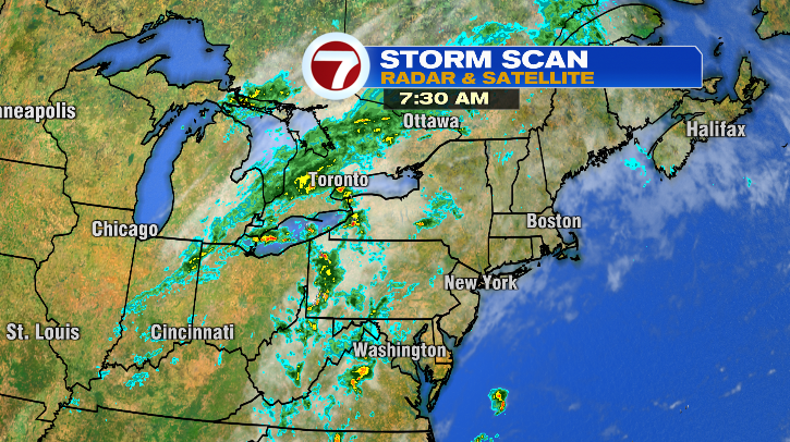
The heat and humidity will be fuel for thunderstorms as a cold front (the catalyst for those storms) moves into Southern New England late tonight. With that, we could see a shower or storm after sunset, and more spotty showers and storms after midnight.
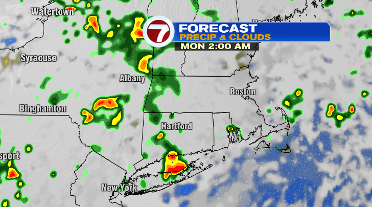
Tomorrow, the trend continues– we’ll have showers and storms on and off throughout the day. Because of all the moisture in the air, any thunderstorm that sets up will have downpours!
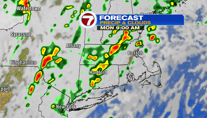
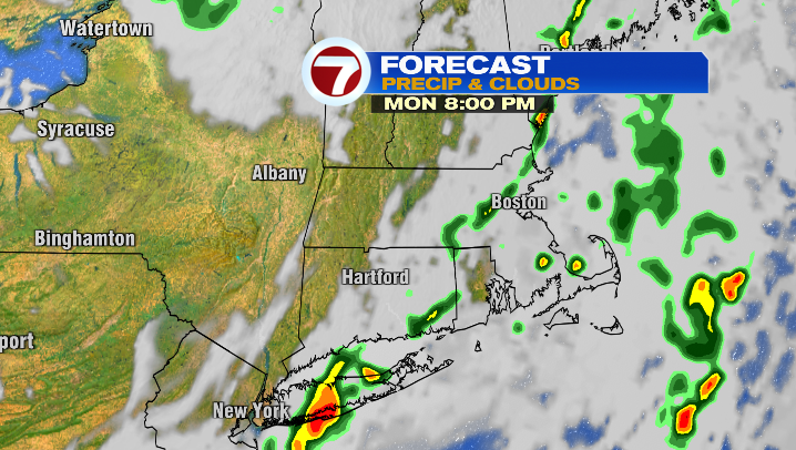
While the overarching trend is 0.5″ – 1.0″ by the end of our Monday, some of those storms could lead to more than an inch of rain. For that reason, we could see some ponding on roadways, and even minor flooding in low-lying areas. Be especially mindful of this when you’re on the road– remember, turn around, don’t drown!
The good news is, rather than stalling, it looks like our front will scoot far enough past us by Tuesday that we get some relief from the rain and the humidity. It’ll be a one-day thing, so take advantage of it if you don’t like the humidity! We’ll have dew point temperatures in the 50s and low 60s, and air temperatures in the low 80s. It’ll be a mostly sunny day as well.
The second half of the 7-day forecast may look a little… grim. But this is why we talk through this stuff! There’s a chance of a storm every day between Wednesday and Saturday.
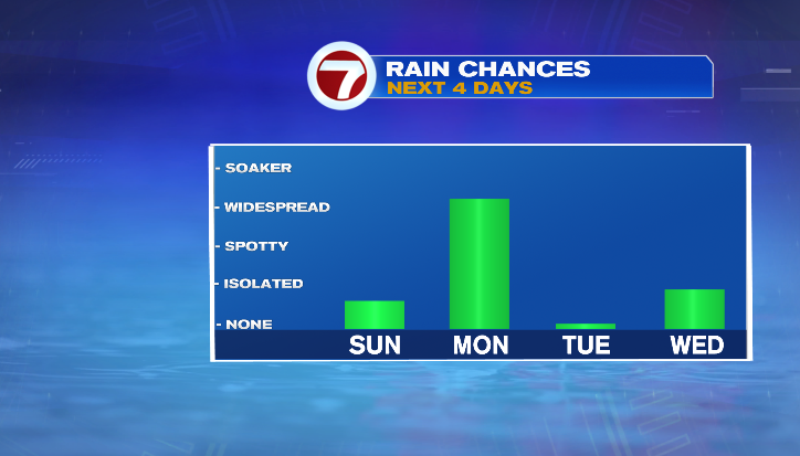
However, none of those days are washouts. It’s just the kind of stretch where you want to keep and eye to the sky (and to the 7Weather App), but you can still plan to spend time outdoors each day!