

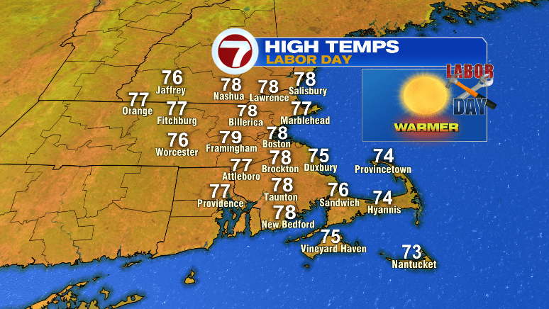
Happy Sunday! We’ve had a few spotty showers today with a fall-like feel in the air. For your Labor Day, big (and better) changes!
First, we’ll continue to clear overnight with lows tumbling to the upper 40s and low 50s. It’ll be a cool night, but a nice night to crack open your windows!
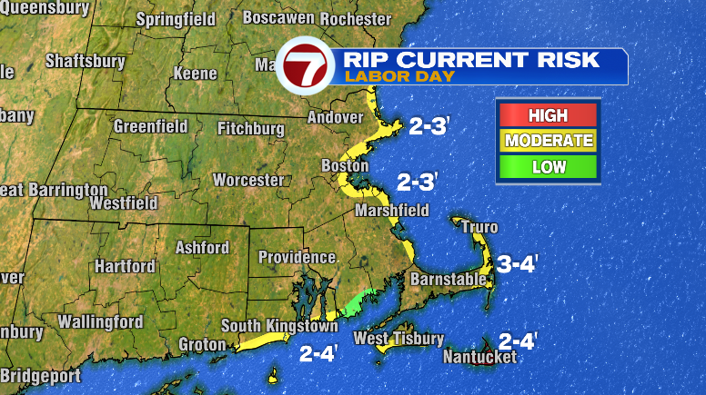
Labor Day looks almost perfect. I’d call it perfect if it wasn’t for the moderate risk for rip currents. Be careful at south facing beaches on Nantucket, as that’s where there’s a high risk for rip currents. I’d stay out of the water there. Everywhere else, just heed any flag warnings at the beaches and check in with life guards.
Lots of people WILL be flocking to the beaches, too, with how nice the weather looks! Ample sunshine with highs in the mid to upper 70s after a cool start.
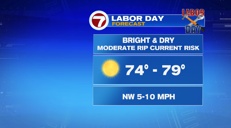
There will be tons of sun with the UV index peaking at 5.
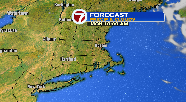
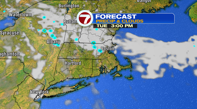
Tuesday will be nice too! A few more clouds and a low chance for a spot shower. The morning will be cool in the 50s with warmer highs in the upper 70s and low 80s.
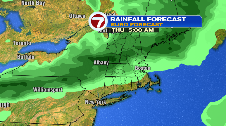
Wednesday, clouds will be on the rise with lows in the upper 50s and highs in the upper 70s. There will be a noticeable breeze. We’re tracking some rain chances that night and into Thursday morning. Thursday, morning showers but a drying trend as the day progresses. It’ll still be breezy and there will be a jump up in the humidity, too. Highs will be warmer in the low 80s.
We’re bumping up the numbers for this weekend! Overall, it’s trending warmer. Friday: bright and the mid 70s after a morning down to the upper 50s. Saturday: mostly sunny and 50s to mid to upper 70s. Sunday: nearing 80 and partly sunny. Stay tuned!