

It’s been a gorgeous, if not slightly cool start to the morning! Temperatures are in the 50s and 60s as we start this Saturday– lows being largely above average.
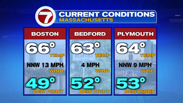
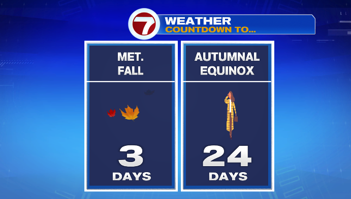
We also have a crisp feel (perhaps a reminder that meteorological fall, aka September 1st, is only 3 days away) with dew point temperatures in the 40s and 50s right now.
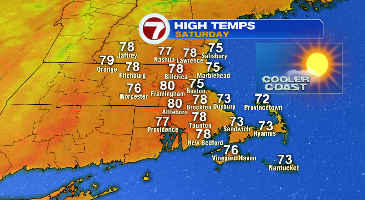
This afternoon, we’ll keep the dry feel and the abundant sunshine around. Air temperatures will largely be in the mid and upper 70s, though a few inland towns may reach 80 degrees. Overall, it’ll be a wonderful final Saturday of August to be outdoors.
Sunday is also looking great, but it’ll be a different day for a few reasons. For starters, temperatures warm up a few degrees– most of us will be in the upper 70s and low 80s, with a few spots reaching the mid 80s.
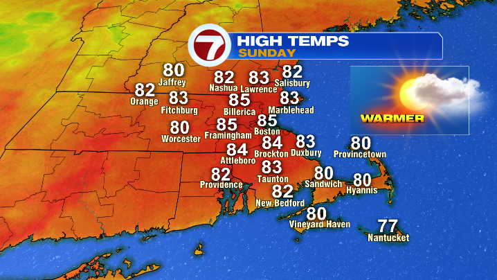
We’ll also see increasing clouds in the second half of the day as low pressure approaches from the west. With that, we could see an isolated shower, mainly after 5 PM, though any raindrops would be incredibly limited. It still leaves us with a mainly dry day for any outdoor activities!
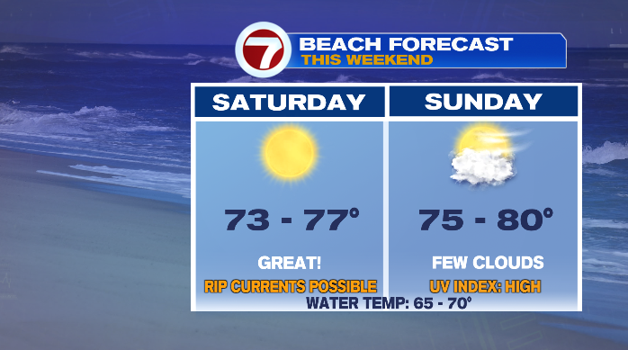
On that note, if you’re trying to spend this last weekend of August on the beach, you really can’t lose either day. Saturday will be cooler, while Sunday will have more clouds in the afternoon. But, it’ll still be a comfortable stretch to be down by the water.
We could see a few more showers overnight Sunday into Monday, but unless you’re a night owl you really won’t have to deal with much in the way of rain, as Monday itself looks partly to mostly sunny and dry.
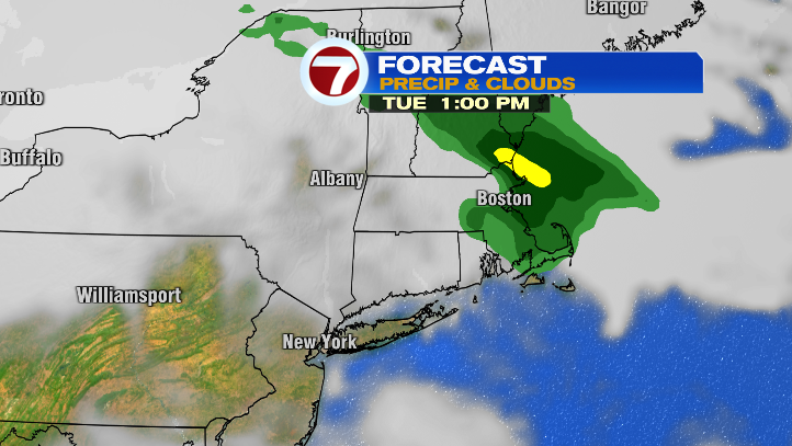
That pattern changes, however, as we get to the middle of next week. Tuesday-Thursday is very unsettled, with shower and storm chances each day.