

We’re still keeping an eye on a shower or storm for the remainder of the afternoon and evening.
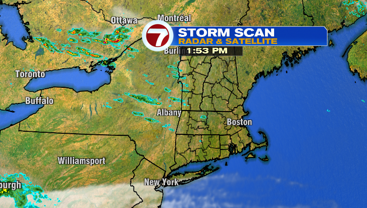
But it’s been a comfortable, mainly dry Friday overall! As for tonight? Rain chances go down after midnight.

Clouds clear as well, and temperatures fall alll the way into the low 50s. We’ll be waking up to sweatshirt weather tomorrow morning!
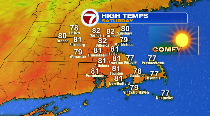
As for Saturday on the whole? Absolutely magnificent. It’ll be dry, sunny and right near average with temperatures in the mid to upper 70s by the water and upper 70s to low 80s inland. It’ll be a wonderful day to spend time outdoors!
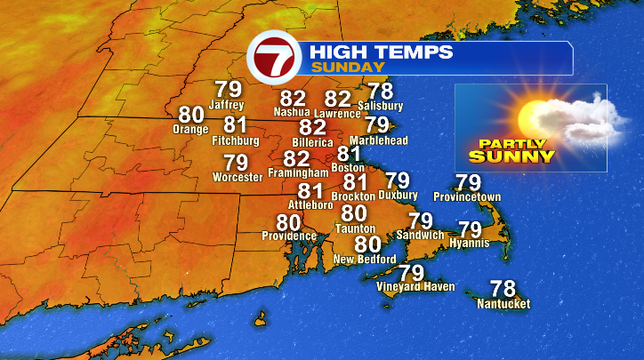
Sunday will be almost as nice– temperatures will be nearly identical to Saturday’s, and we’ll stay dry during the day. That said, clouds will increase throughout the day ahead of our next storm.
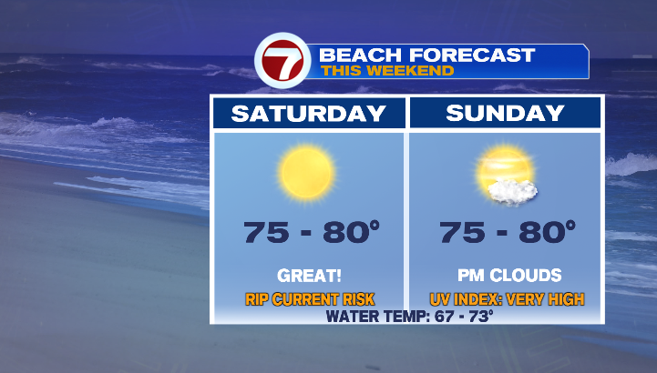
If you’re headed to the beach this weekend, it’s largely a win-win situation. If you want to get down to the water Saturday, you’ll have more sunshine. However, there is a moderate rip current risk on Saturday. On the flip side the rip current risk goes away, but the clouds increase for the second half of Sunday.
On that note, our next storm arrives Sunday after sunset. We’ll see showers turn to periods of rain, and a few embedded storms possible too.
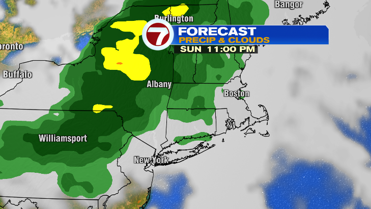
This will last overnight and into Monday morning. Plan for a slow Monday morning commute! Rain will taper off throughout the morning and into the afternoon. Temperatures on Monday will be largely in the low 80s.
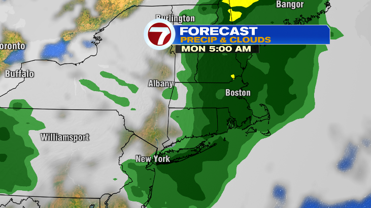
Tuesday we’re back to sunshine and the low to mid 80s!