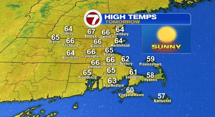
Happy Saturday! It’s been a sunny but a bit of a cooler day out there. I’ve got great news! Your Sunday looks spectacular after a chilly start.
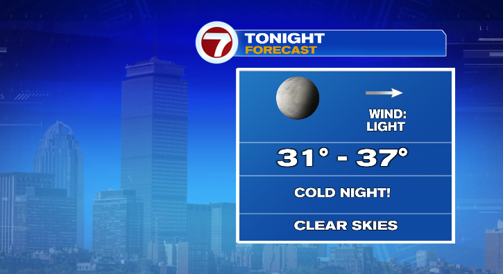
Temperatures this evening will quickly tumble under clear skies. We’ll go from the 40s to the 30s. Overnight lows will mostly bottom out in the low to mid 30s, but there may be some cooler spots like north-central Massachusetts and southwestern New Hampshire. The coast may stay a little warmer in the mid to upper 30s. Still, that’ll be a cold start for your Sunday morning.
Highs for your Sunday under sunny skies will reach the low to mid 60s at the coast and mid to upper 60s farther inland. That’s warmer than today, and with that sunshine, it’ll feel pretty good! It still won’t be windy.
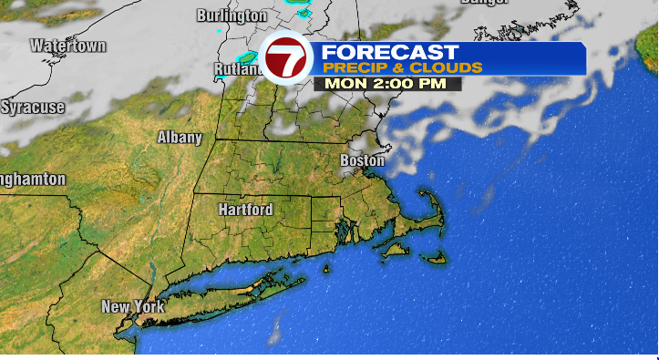
Monday starts cold again in the 30s but with the sun sticking around we’ll warm to the upper 60s in the afternoon. Another lovely day! A light breeze will move in Tuesday, but what you’ll notice more is the temperature drop. The morning will actually be more mild in the 40s but highs will drop to the mid 50s. Skies will still be mostly sunny.
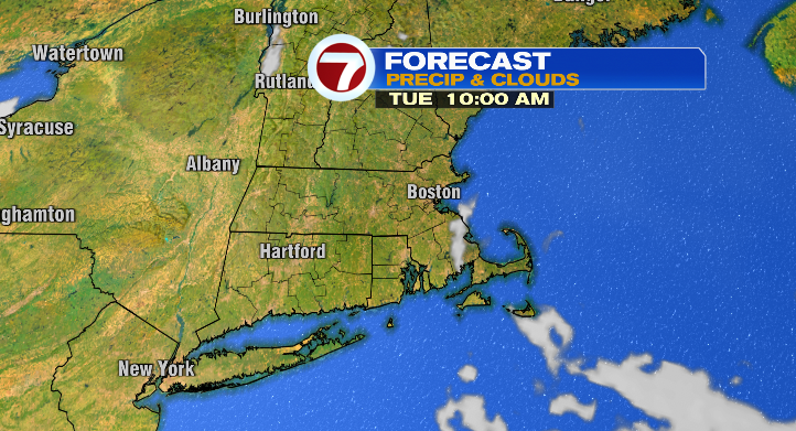
Wednesday, the dry stretch continues. We’re expecting mostly sunny skies, lows in the 30s and highs in the mid 50s again without the light breeze.
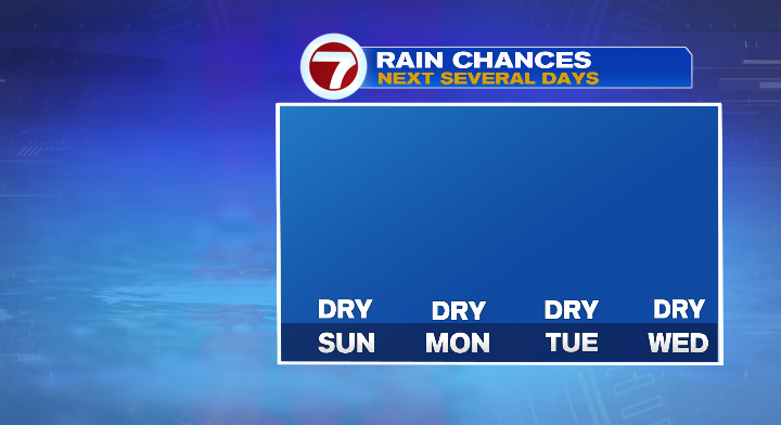
Thursday we warm a little but that will come with some breezy conditions. The morning you’ll want to grab a jacket again with lows in the 30s but at least we’ll make it back to the low 60s in the afternoon hours. Friday: 40s to upper 60s and bright. Halloween is one week away! It looks great! Dry and in the low 60s. Enjoy it!