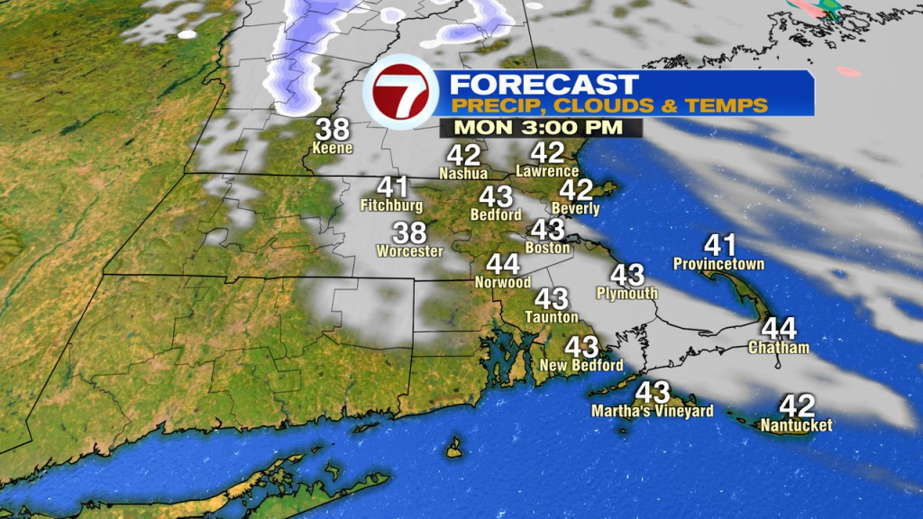
Early morning flurries/snow showers taper off, as a mix of sun and clouds is the general theme through the day with highs recovering into the low to mid 40s.
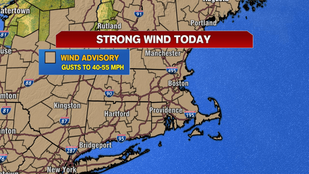
Also a theme of the day… the strong winds. Wind gusts run 40-50mph out of the northwest for most, with a few gusts to 55mph across the higher terrain. A wind advisory is up for all of Southern New England for the potential of isolated tree damage and pockets of power outages. The wind will be strong through the evening, slowly diminishing a bit overnight.
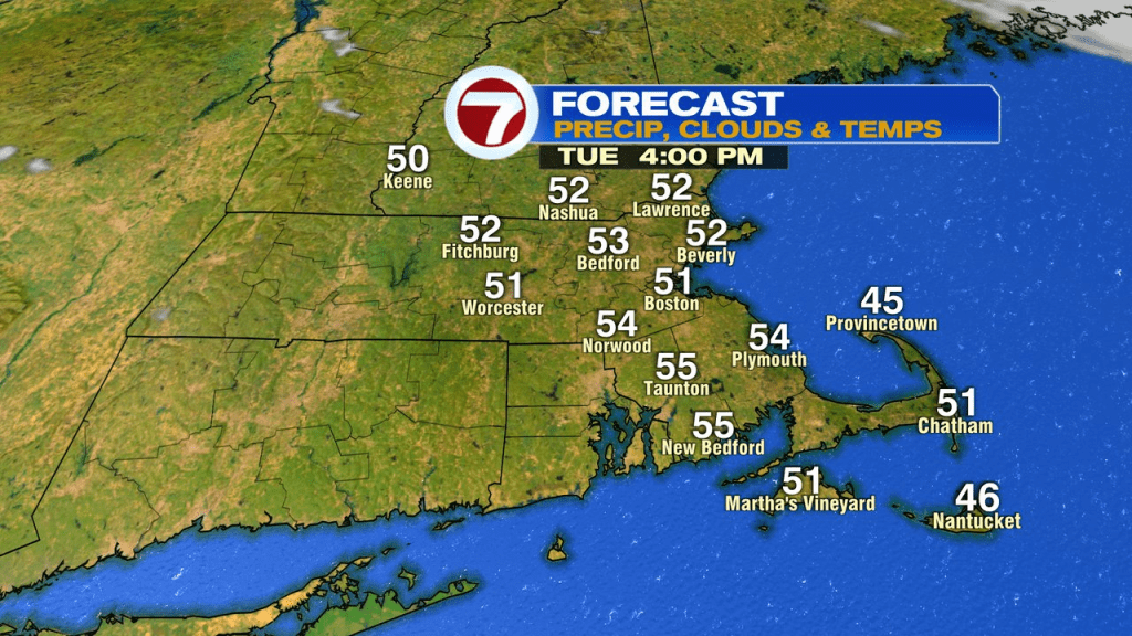
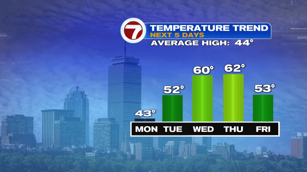
It’ll still be breezy tomorrow, with gusts to 25mph, but not nearly the winds we’ll have today. Temps tomorrow are also higher, in the low to mid 50s, making for a much nicer mid-March afternoon. We’ll continue to build upon the warm trend Wednesday and Thursday with highs near or above 60 away from the coast. Along the coast, temps run in the 40s to low 50s as onshore winds kick in.
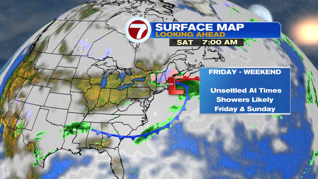
The end of the week turns unsettled with showers likely arriving Friday. Saturday features many dry breaks, before the shower chance goes back up sometime Sunday.