

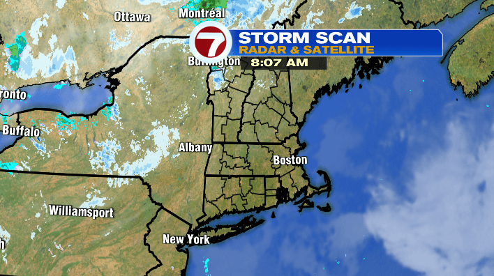
Good morning! It’s been a chilly start to the day for many, even by November’s standards. We’ll keep that trend rolling as we head into the afternoon as well.
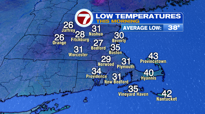
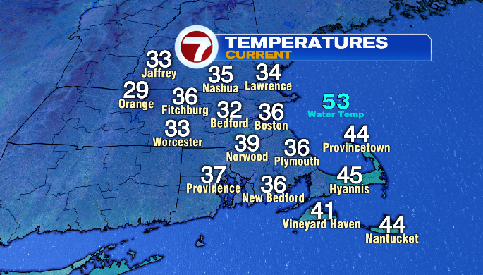
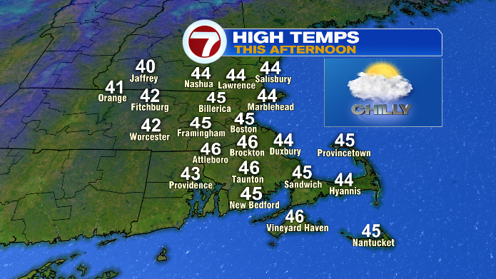
Temperatures to start the day were int he 20s and 30s. Now we’re largely in the 30s, and our afternoon highs will be in the low to mid 40s — a good 5-10 degrees below average for this time of year.
While this morning has started out with sunshine, we’ll be in and out of the clouds today thanks to the last of the area of low pressure that brought our storm this week.
This low is driving a chilly air flow for us, and that colder air is essentially helping to squeeze the last of the moisture out of the atmosphere like we would wring out a washcloth.
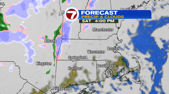
The result of all of this, aside from the clouds, is the potential of a stray sprinkle or flurry. Even that, though, is looking pretty slim.
Overnight temperatures dip again, and we’ll wake up mainly in the 20s and low 30s tomorrow morning.
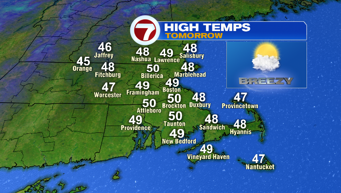
While highs will still be a touch below average in the afternoon, they’ll be much closer– most of us will wind up between 45 and 50 degrees. We’ll be breezy with gusts in the 20s, but sunnier as well!
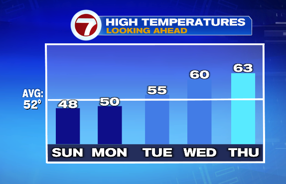
As we dive back into the workweek, temperatures remain similar (highs in the upper 40s/low 50s on Monday) but we’ll be mostly sunny and less windy!
If you’re not ready for the November chill, just wait a few days. We see a big warming trend starting Tuesday as high pressure takes over the weather for a few days.
Tuesday will be bright and sunny with highs in the mid 50s. By Wednesday, we’ll be around 60s, and in the low 60s to round out the workweek!