7Weather- The weekend ended with much needed rain, but a lot of it fell in a short amount of time, in one small area.
A Flash Flood Emergency was issued for Norwood and surrounding towns just before 6:00 PM Sunday. This area received 4-6″ in a 1-2 hour window.
There were also reports of downed trees south of the Pike and inside of 128 with a severe thunderstorm that moved through the area Sunday afternoon.
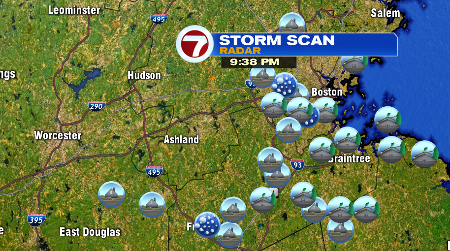
There will be lingering showers tonight, but the severe weather threat is over.
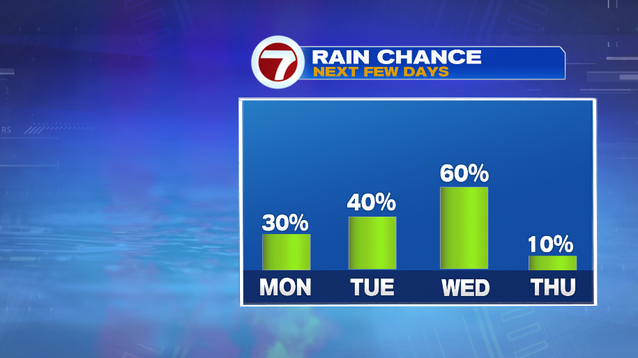
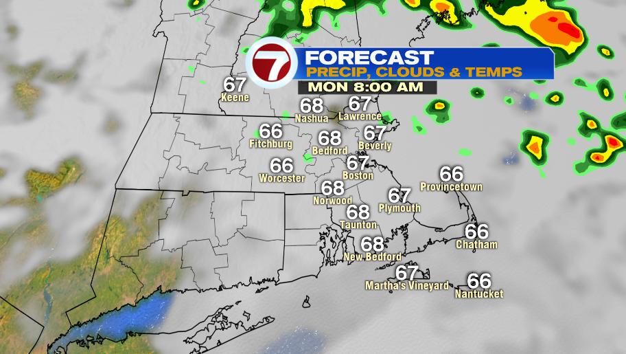
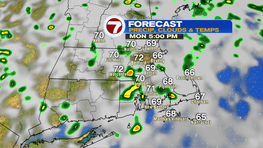
Monday will be mainly cloudy with highs in the low and mid 70s. The system that brought us rain on Sunday will stick around offshore to start the week, giving us the chance for a few showers. There will be sprinkles in the morning, and then a few showers between 2- 7PM. There could be storms/downpours, but the severe weather threat is low.
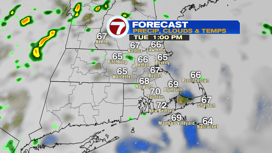
That low pressure system is still around on Tuesday. It will be a gloomy day with hit or miss showers. Highs reach into the low 70s. The coast gets stuck in the 60s.
Wednesday is cloudy with scattered showers in the afternoon. Temperatures in the low 70s at the coast, and in the mid 70s inland.
Thursday could have an isolated storm, and it is warmer in the low 80s.
