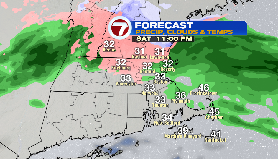
7Weather- Another round of wintry precipitation moves in between 9-11PM tonight.
With this one we’ll see freezing rain northwest of Boston initially, and then it’s possible that we get enough cold air in the upper levels of the atmosphere to see a little bit of snow as this system moves out. I wouldn’t be surprised if a few places in the Merrimack Valley get a quick coating, maybe even 1″ of snow.
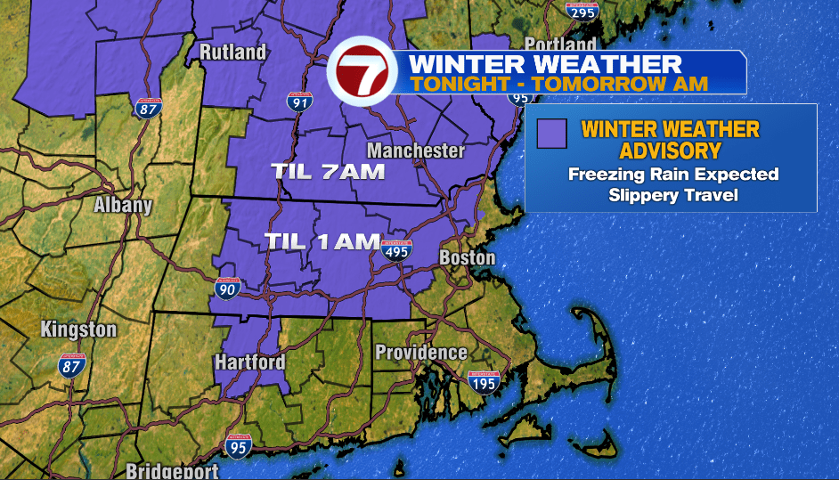
A Winter Weather Advisory remains in effect for areas outside of I-95 until 1 AM and until 7 AM for southern New Hampshire. Untreated surfaces could be slick in the locations under this advisory (purple in map above).
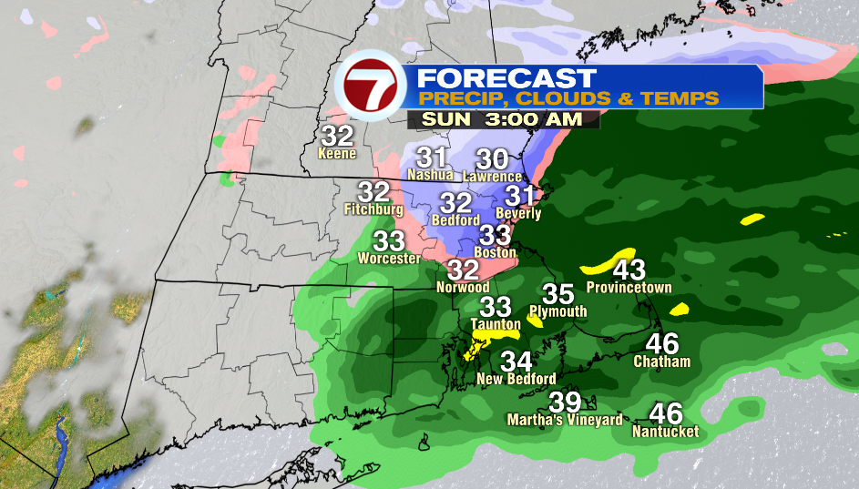
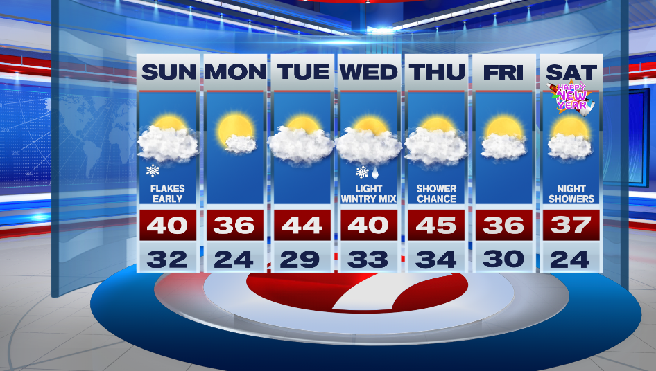
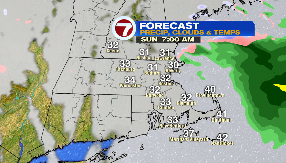
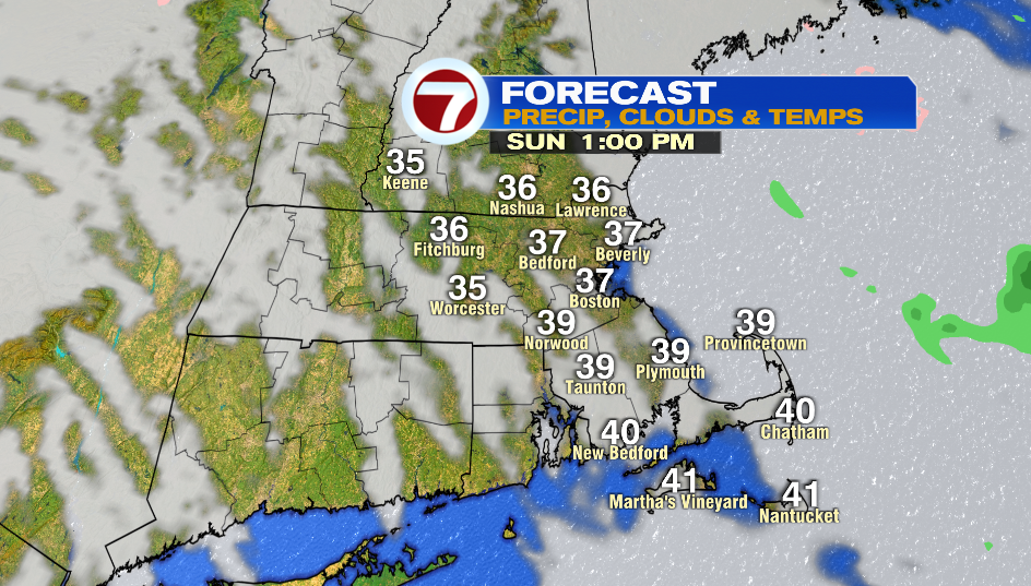
There could be lingering flakes/sprinkles Sunday morning with slick spots early on. The morning is overcast and then skies slowly clear throughout the day. Highs hit mid-day around 40º, and then we fall into the 30s or the rest of the day. A breeze will make it feel chilly.
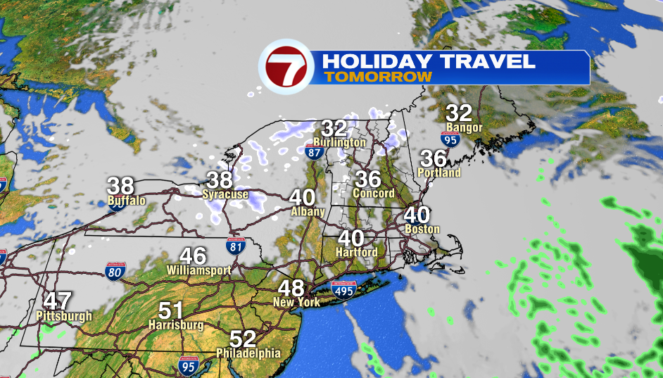
Travel is looking fair in New England tomorrow. We should be in the clear from slick spots mid-morning.
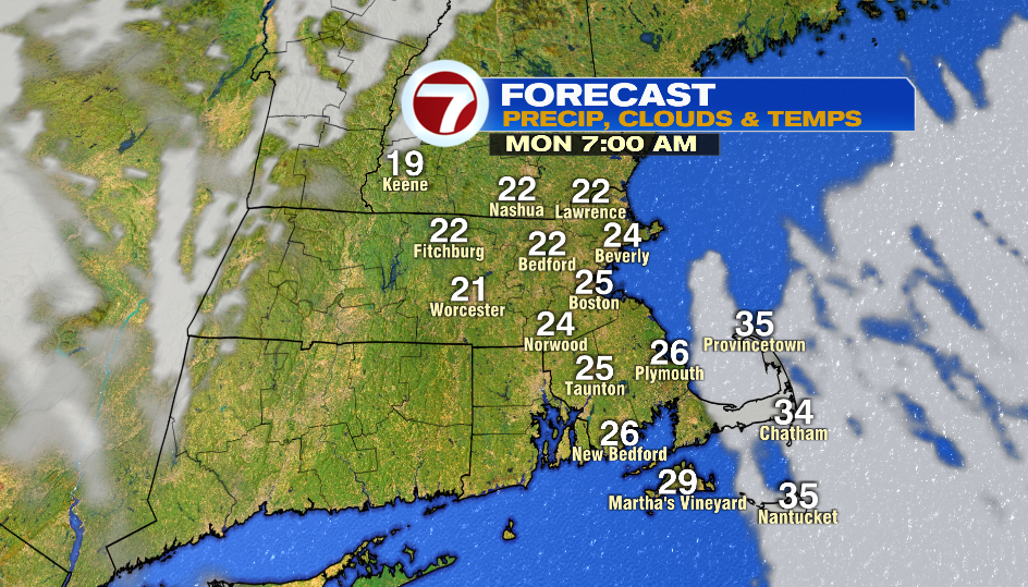
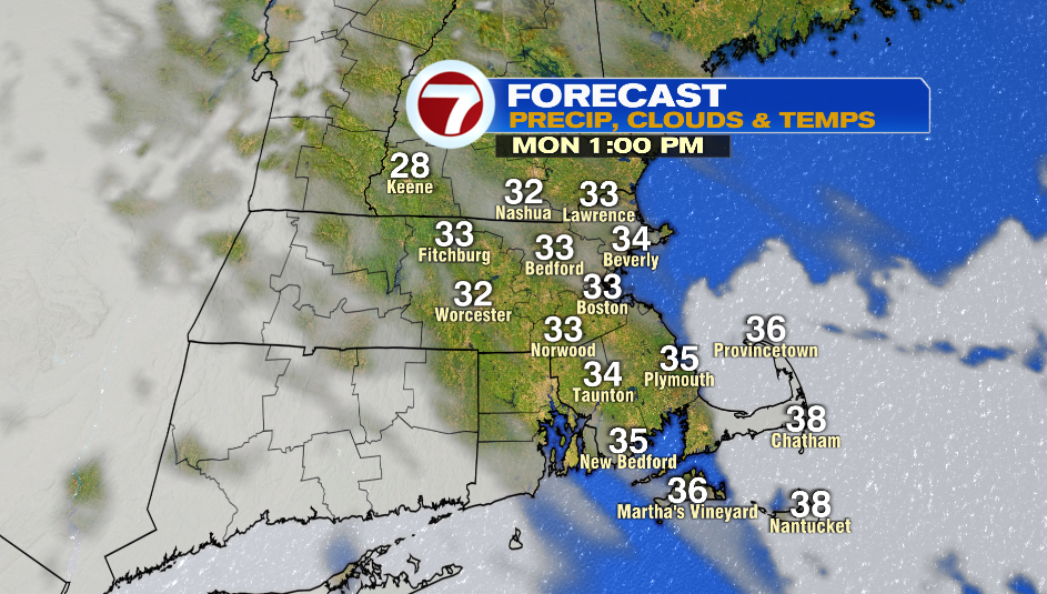
Monday morning is cold with temperatures starting in the low and mid 20s. The day starts sunny and then a few clouds move in throughout the afternoon. There will be less wind around but it is chilly with highs in the low and mid 30s.
Tuesday is cool and mainly cloudy. A system mainly misses us on Wednesday but there still could be a light wintry mix that develops.