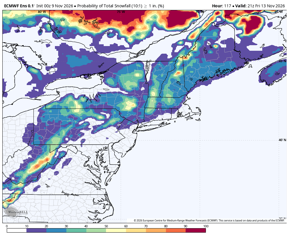
After we opened up with early September in November, we’re back to the reality of being deep into Fall this week. After the soaking rains we picked up Friday, into Saturday, we’re back to seasonable levels with highs in the 50s and lows in the 30s. By the end of the week, it’s possible that we even track some flakes flying in the higher terrain of New England.
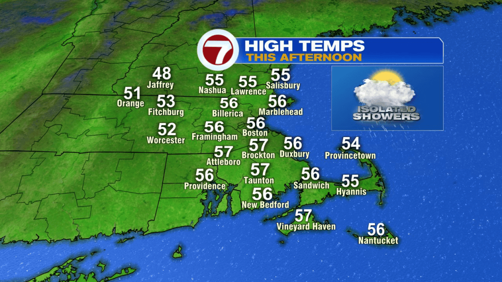
Ok, first thing is first. Today, we’ll have a few spotty showers mid morning to early afternoon with highs in the mid 50s.
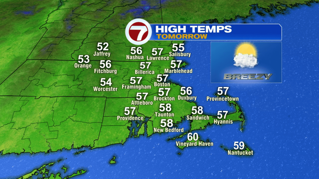
Tomorrow will be dry from start to finish with temps in the 50s again.
Veterans Day looks nice with highs in the upper 50s and bright with mostly sunny skies from start to finish.
Thursday looks mainly dry too, until the sun sets.
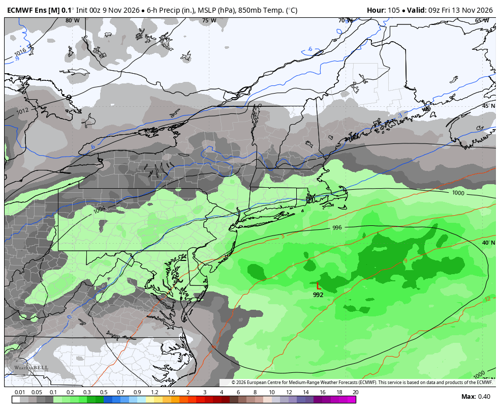
That starts the next opportunity for a storm. As energy dives off the east coast and a storm gets going to our south. Rain could expand Thursday night into Friday. With plenty of chilly air parked to our north, that could drain into the system, allowing for some wet snow to be in the mix across the higher terrain. How much rain/snow we get across the area is predicated on the track/development of the low, so it’s too soon for getting detailed on this one. Certainly something to keep an eye on though for the end of the week.
One models chance of at least an 1″ of snow is below… you can see how it favors the higher terrain.