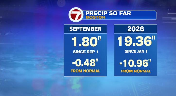
Happy Monday! Today was 100% more beautiful than your Sunday. Thankfully, this nice weather will continue before we’re tracking a potential coastal storm.
First, the rest of this evening will continue to be dry and we’ll cool down, too. Evening temperatures will mostly be in the 50s with overnight lows in the mid to upper 40s. You can sleep with the window cracked open, but I’d make sure you’ve got a VERY thick, warm blanket.
Tuesday will be a beautiful first day of Fall, and it’ll sure feel like it! Morning temperatures will mostly be in the 50s with afternoon highs in the low 60s. That’s on the cool side of average, so dress accordingly! Skies will be partly sunny but most importantly dry.
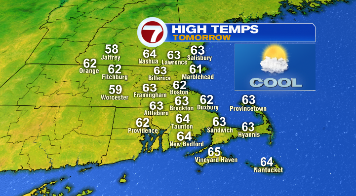
It’ll be a bit breezy at times making those low 60s feel closer to the upper 50s.
Tuesday night we’ll tumble to the mid to upper 40s again and rise to the low 60s Wednesday afternoon.
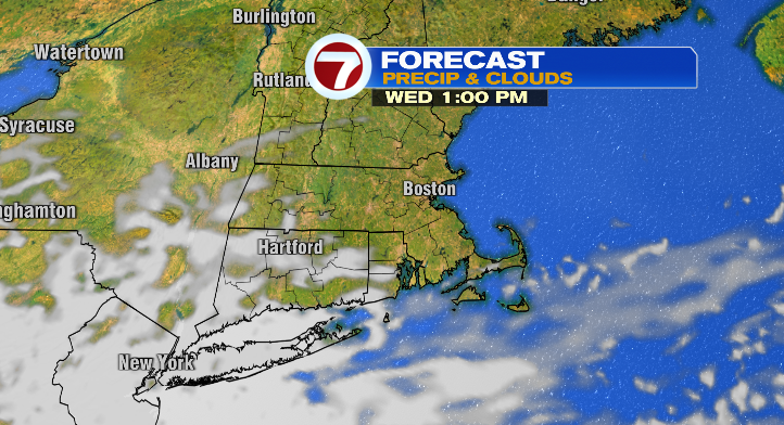
Skies will once again be partly sunny, but watch out for some breezy winds!
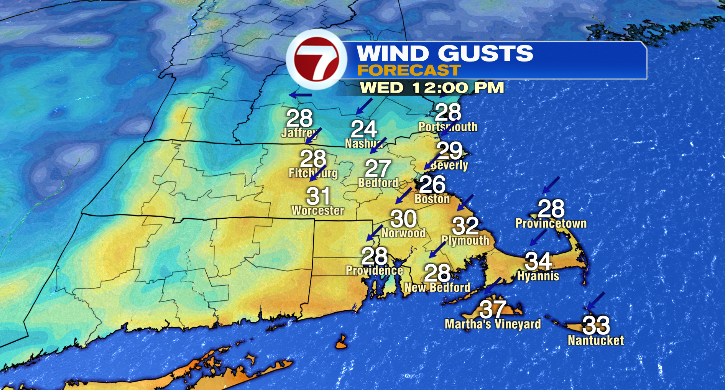
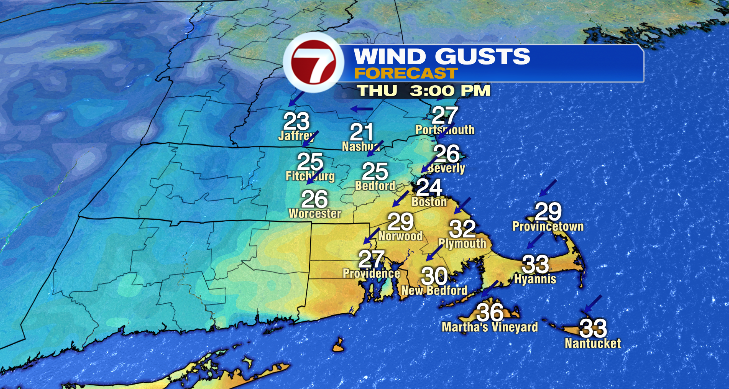
Thursday will be a copy-and-paste forecast. We’ll see a mix of sun and clouds with lows in the upper 40s and highs in the low 60s. Winds will once again gust to over 20 mph, bringing a bit of a brisk feel to the air.
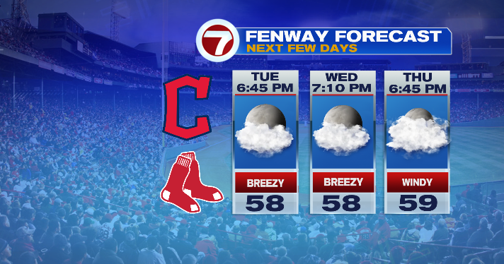
It’ll be cool at Fenway these next few evenings, so make sure you bring a jacket with you.
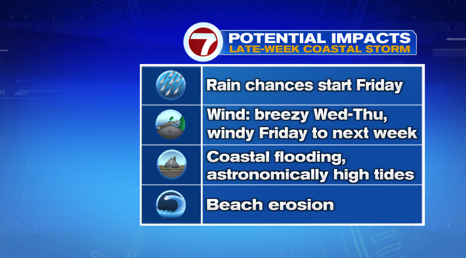
We’ve got a difficult forecast for the end of the week into the weekend. We’re tracking a potential nor’easter. Now, where exactly the center of the system ends up dictates who sees what. If we see a closer track, that would bring increasing chances of rain and wind from potentially as early as Friday through as late as next week to most of our area.
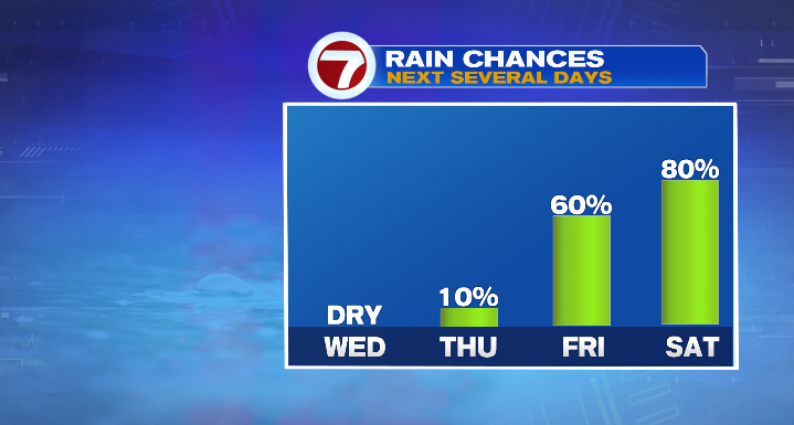
However, a further offshore track would keep most of the impacts of the rain and wind to coastal areas. Still, for now we’re watching likely rain/wind and potential coastal flooding and beach erosion as well. Time is not our friend in this case, and we’ll have to wait a few days to really nail down the details of this. For now… stay tuned!