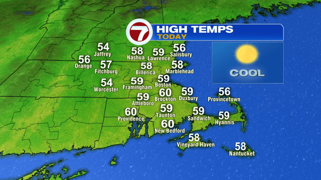
The feel of Fall is in the air today as a chilly breeze holds on through midday, gusting 20-30mph. Despite a ton of sunshine, highs only run in the mid 50s to 60.
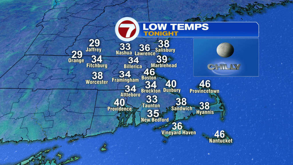
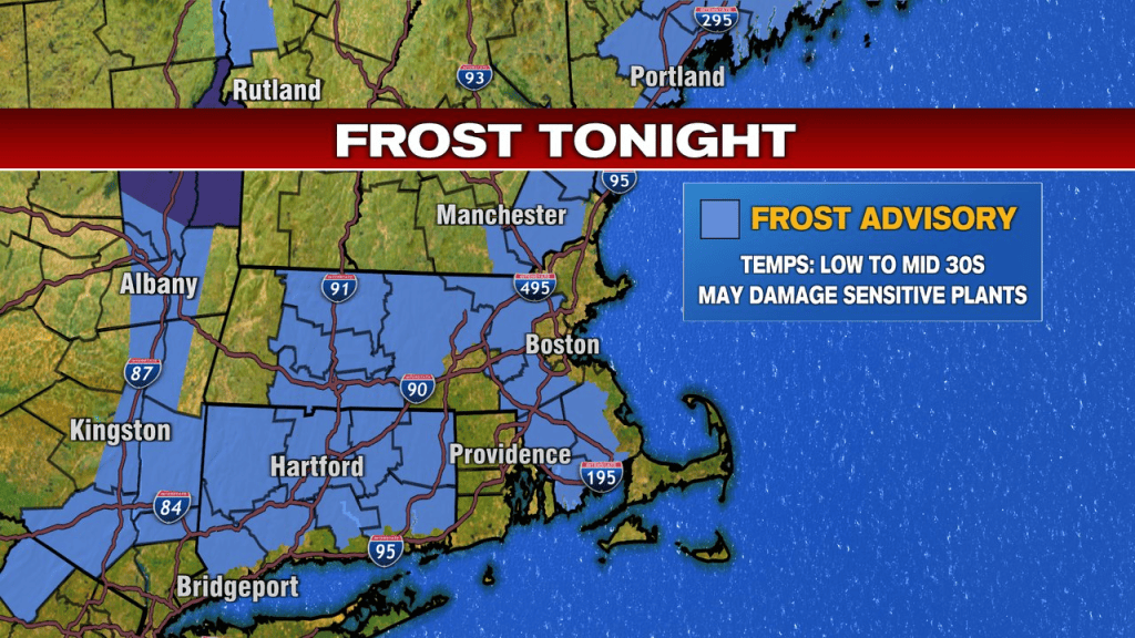
With a very low humidity air mass in place, clear skies and a diminishing wind, temps will tumble quickly. Overnight lows head back into the low to mid 30s, prompting a frost advisory for many locations just away from the coast. While not a hard freeze, you may want to cover up any sensitive plant you want to keep going for a bit.
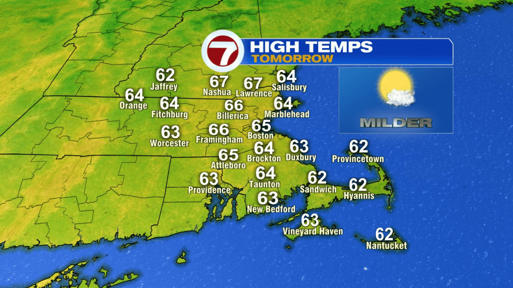
The rebound tomorrow is nice, back into the mid 60s in the afternoon.
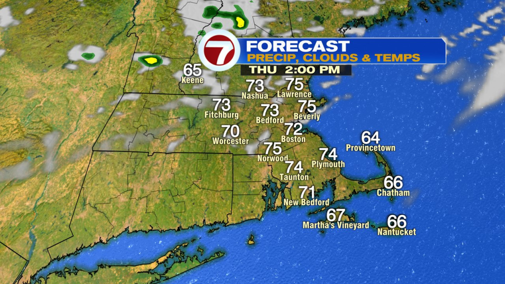
70s anyone? Sure, Thursday is there, in the low to mid 70s. Much of the time is dry, but with a front slipping through, a spot shower is possible, with the best chance across northern Mass and NH.
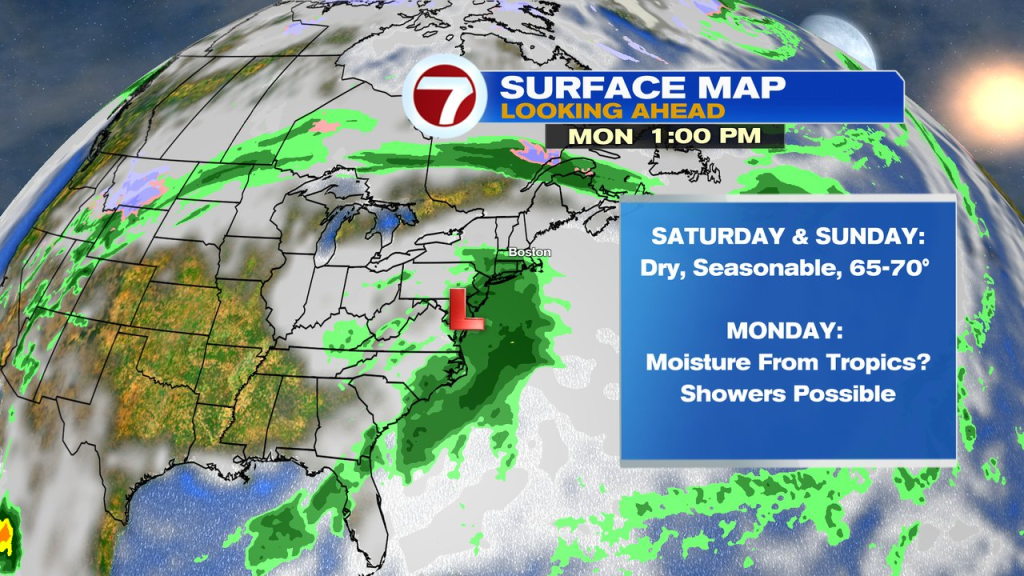
Friday, into the weekend looks seasonable and dry through Sunday. The next shot of showers won’t make it in here until Monday, and that’s if some moisture from the tropics can even make it this far north.