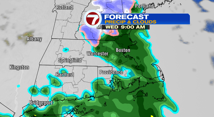
Happy Tuesday! It might’ve been a bit chilly today, but at least it was dry! We’re tracking a cold rain as we head into your Wednesday.
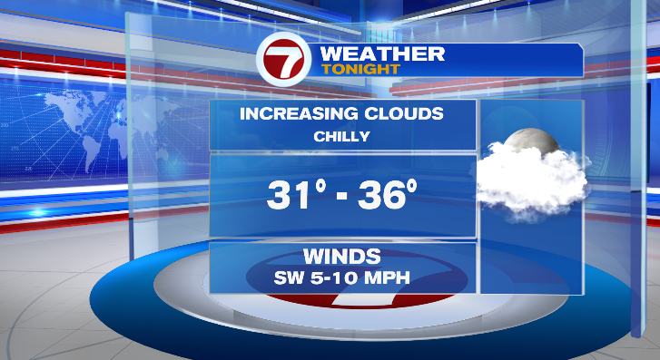
First, clouds will increase overnight with lows all the way down to the low to mid 30s.
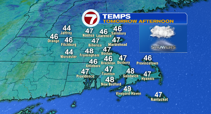
The increased cloud cover won’t exactly help us to warm up a lot Wednesday. Highs will be more than 10 degrees below average for this time of year in the mid to upper 40s. And that’s for everyone, not just coastal areas.
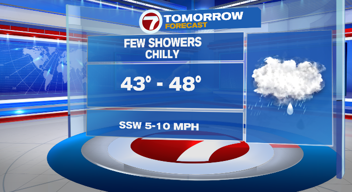
It might be slightly breezy at times, too, making it feel even colder. Make sure to dress warmly underneath your rain coat! Rain chances begin right off the batt in the morning. Rain will be light and scattered, and there may be some wet snowflakes at times in the hilltowns. As the day progresses, rain will continue to be light and scattered. Chances last into the evening.
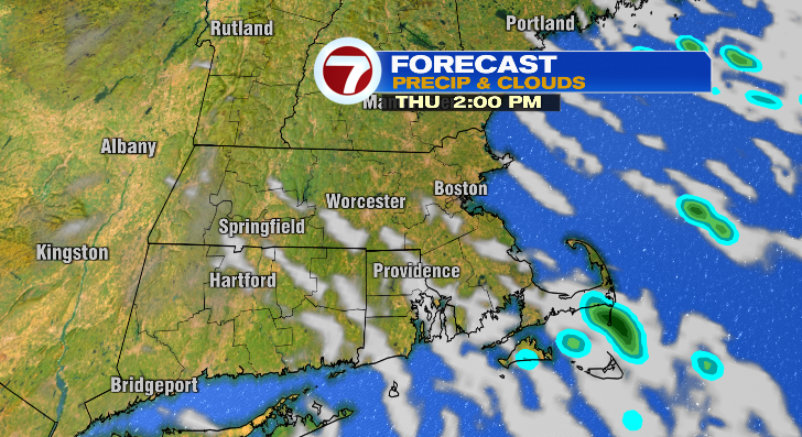
Thursday looks a lot drier! At the very most, we’re tracking the chance for a stray shower or thunderstorm. Otherwise, we’ll see a lot more sun and lows will start in the upper 30s with highs into the low 60s.
Friday through Sunday will feature lows in the mid 30s with highs in the mid to upper 50s with partly sunny skies.
Monday: sun/cloud mix, upper 30s to upper 50s. We have more rain chances Monday night into Tuesday. Stay tuned!