

The summer stint is over as more seasonable air has drifted back in for the next couple of days.
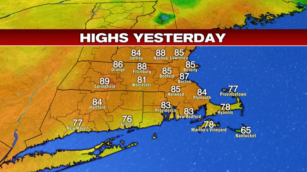
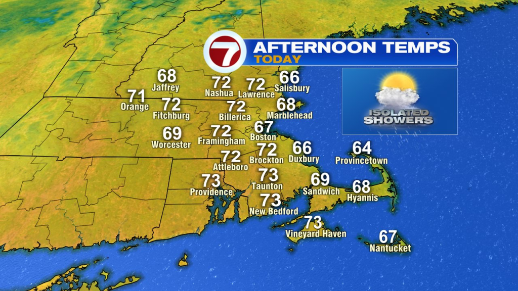
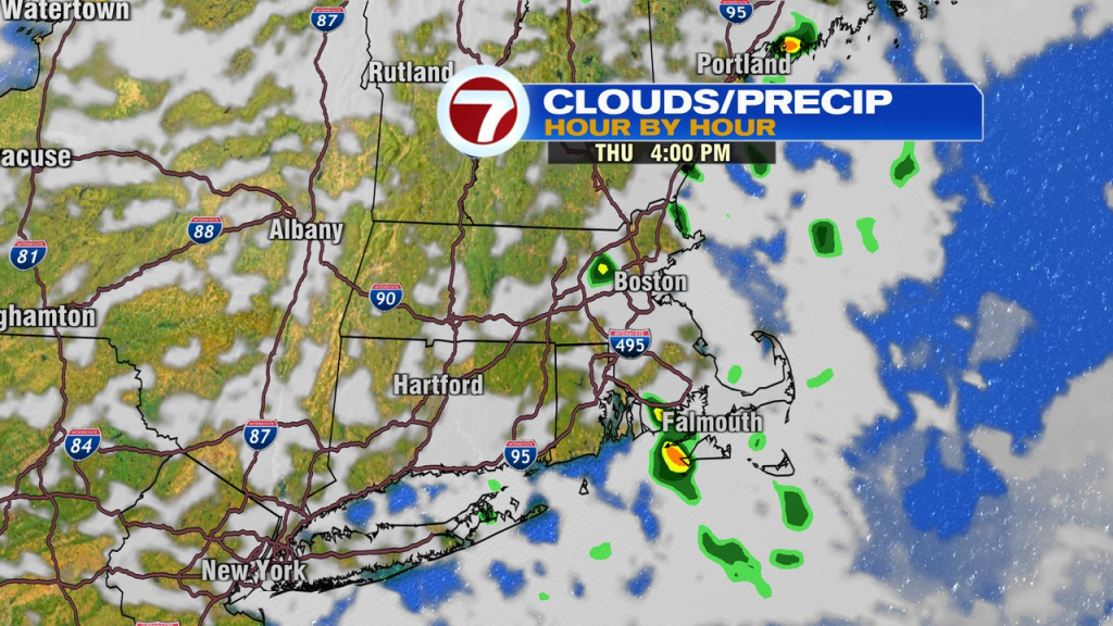
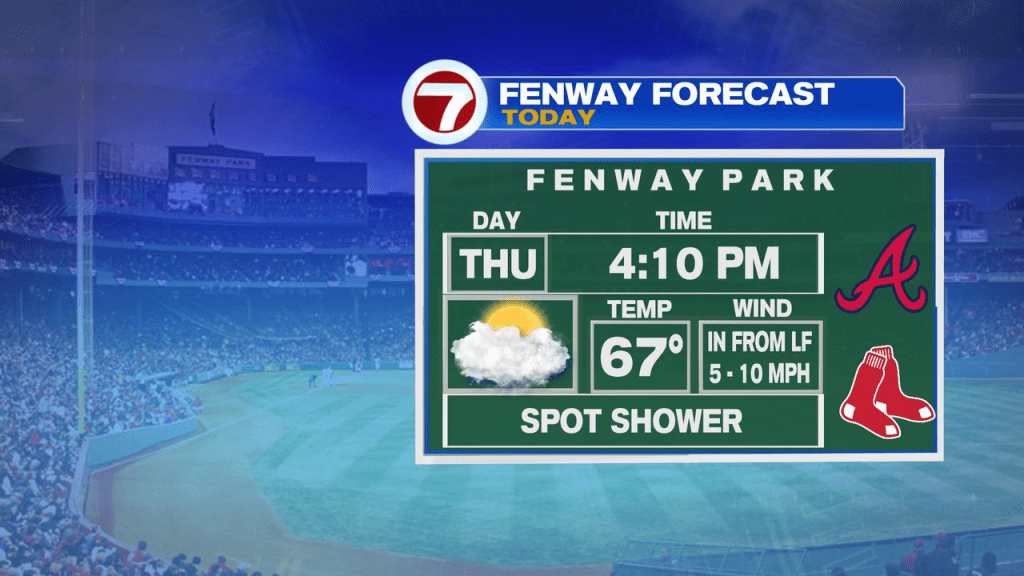
Highs today and tomorrow will max out in the low 70s inland and low to mid 60s along the coast. With cold air aloft, a few isolated to scattered showers pop midday into the afternoon today. They’ll be few and far between inland, and a bit more numerous near the coast. With that said, many of them are brief, and in between them, you’ll see breaks of sunshine reemerge. So not a washout of a day by any stretch, just keep the umbrella handy.
Tonight, through tomorrow afternoon look dry too.
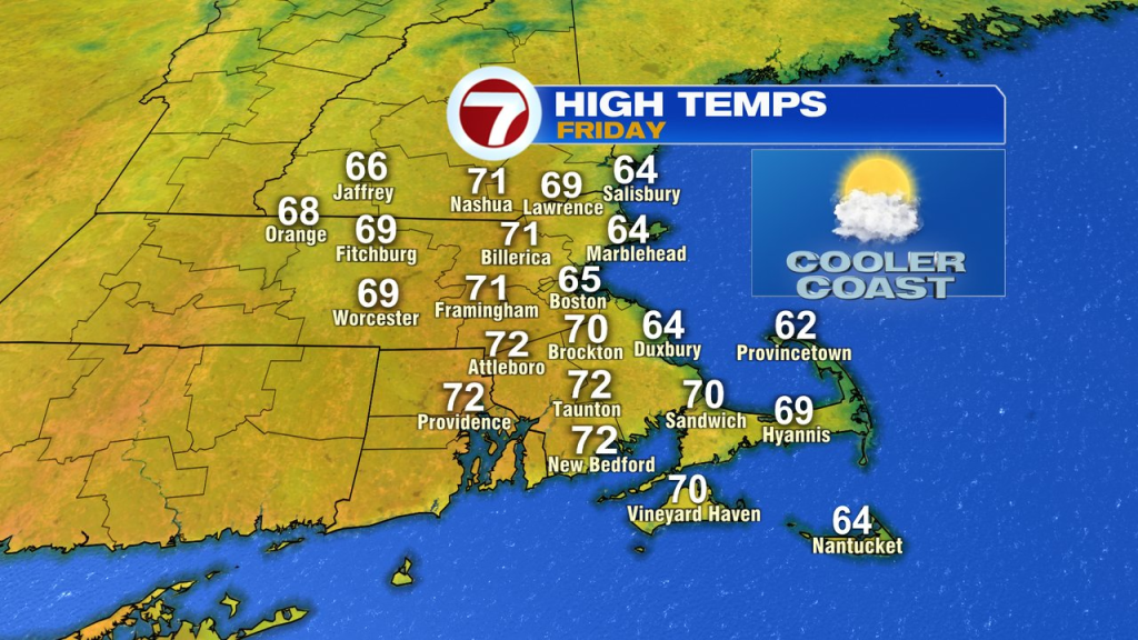
Tomorrow evening, we’ll have showers redevelop and continue into the overnight hours.
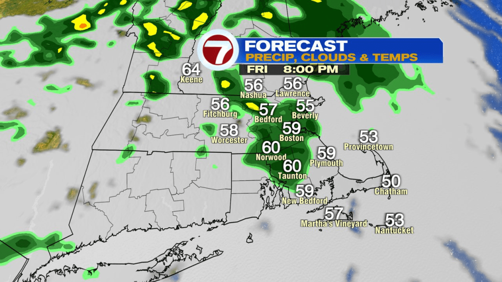
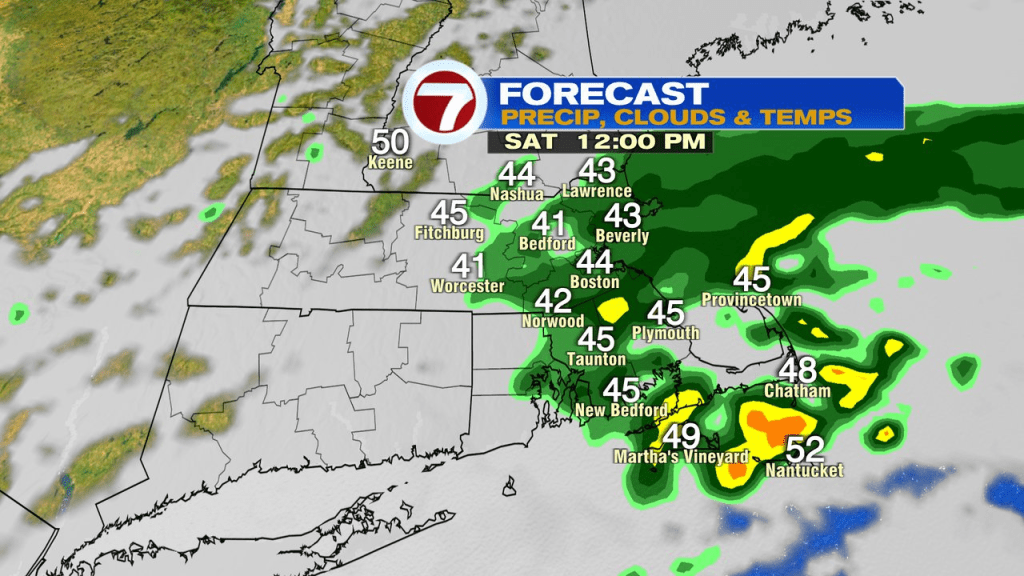
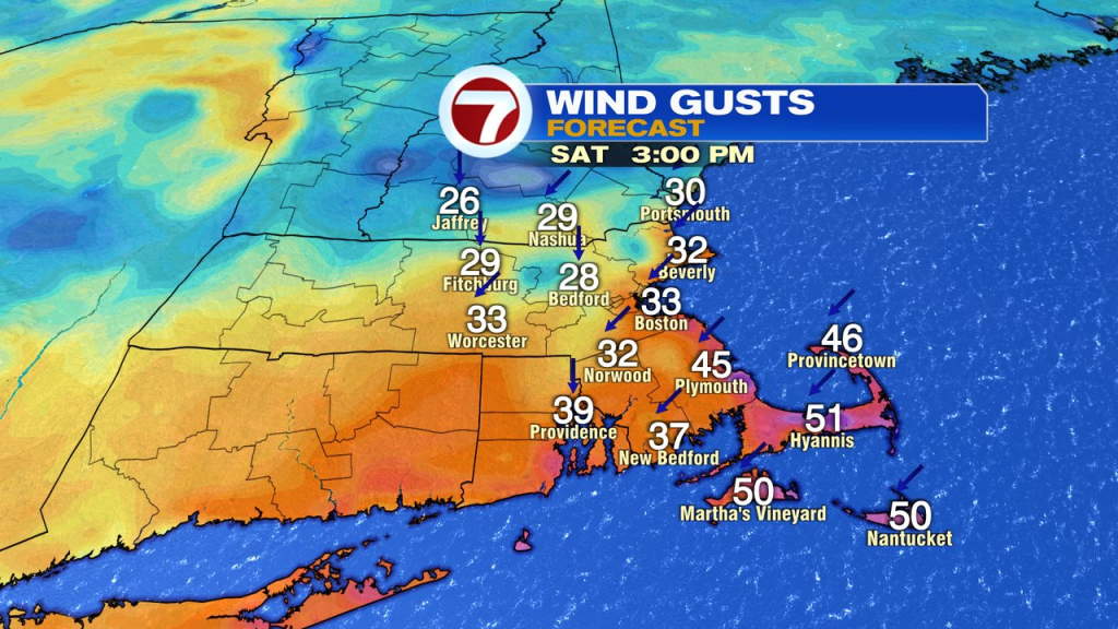
While a brief break in the rain is possible early Saturday morning, it won’t take long for the rain to fill back in. An anomalous pocket of very cold air aloft will sink into southern New England as a wave of low pressure drops in. That’ll provide rain cooled air as a gusty northeast wind develops. Temps slide back into the 40s for a while Saturday, mid morning to mid afternoon, as rain falls and that gusty breeze kicks in. Yeh, feeling more like March 30th not May 30th. Northeast winds gust 25-40mph, locally higher across Southeast Mass.
Sunday will be the pick of the weekend as highs head for the 60s to lower 70s again as some sunshine breaks back out.