Winds have kicked back to the northeast and low level moisture has backed on it. That means its a wet start again with areas of drizzle. In addition, some showers move in from the northwest, allowing for some bigger drops to be in the mix at times. Temps today run from the low to mid 50s across northern Mass and NH to the low 60s across Southeast Mass. Rain totals won’t be impressive, generally under a 0.25″ for most of Massachusetts, with higher totals to our north. It’s enough though to give us a damp and dreary day.
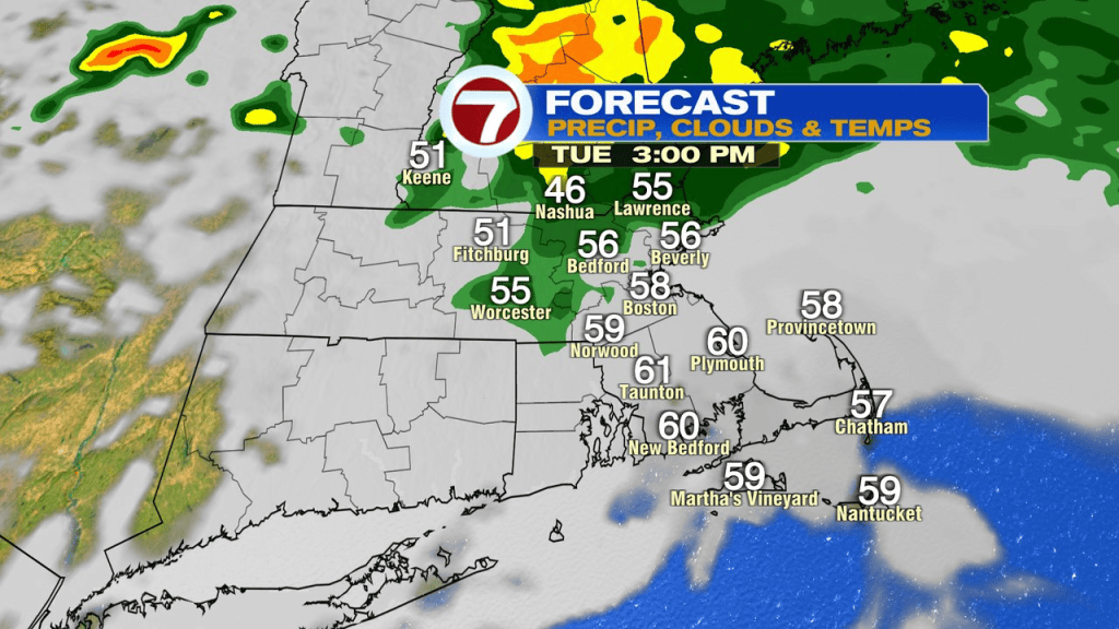
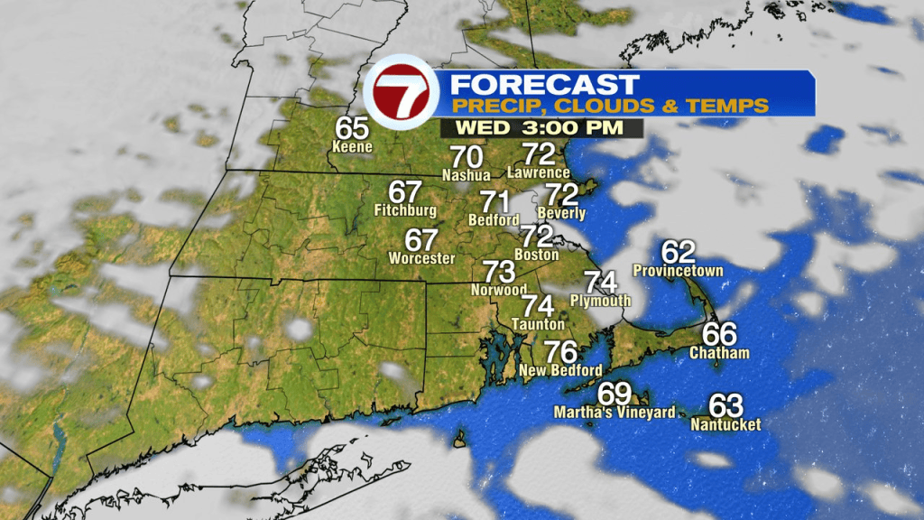
Temps hold steady tonight and we start tomorrow off mild. With winds kicking back to the southwest tomorrow, we warm back up, into the low to mid 70s for most.
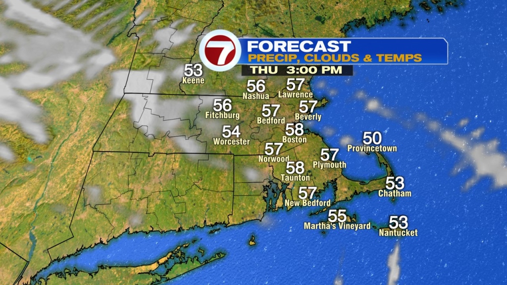
Thursday and Friday looks seasonable temp wise with highs in the low 60s. Friday will bring in the chance of more wet weather.
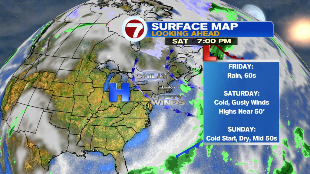
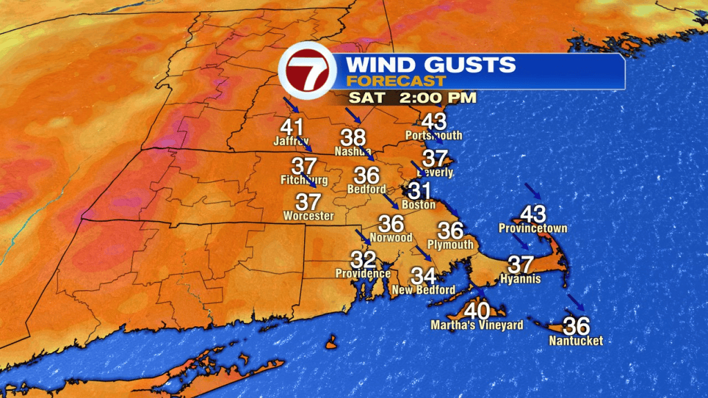
Friday night a cold front comes blasting through with a chilly, gusty wind. Snow showers are likely across the higher terrain of central and northern New England too!
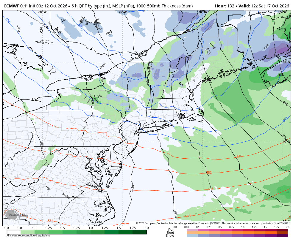
In the wake of the front, the weekend is chilly with highs near 50 and a gusty wind Saturday. Can’t rule out a spot shower Saturday, but much of the weekend is dry.