Happy Sunday! It’s definitely been a damp, gray and cool day. We do have better news for this week!
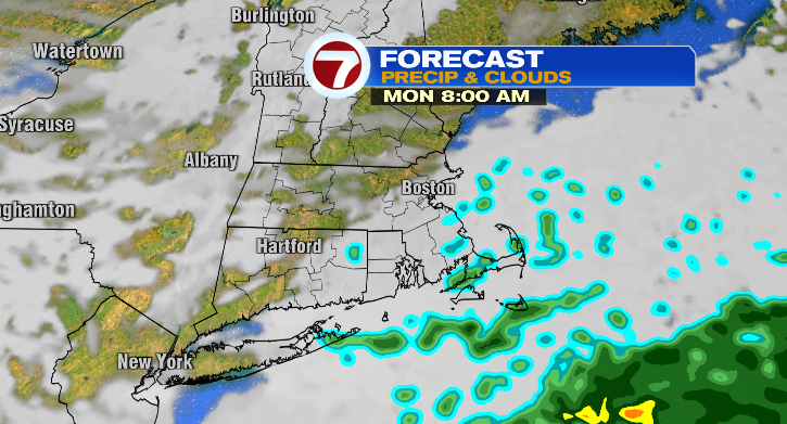
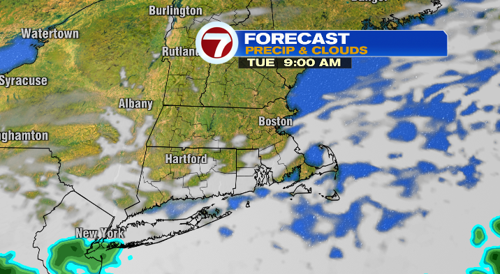
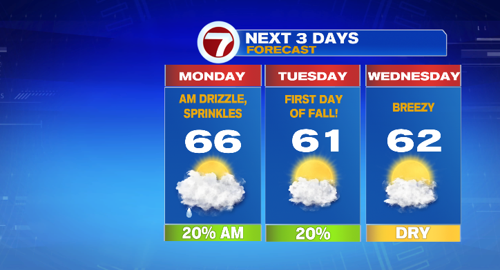
First, when will this rain exit? Well it’ll clear late tonight for central Massachusetts, but we could have some lingering early-morning drizzles/sprinkles for eastern Massachusetts into Monday. They could linger into the late morning on the Cape, too.
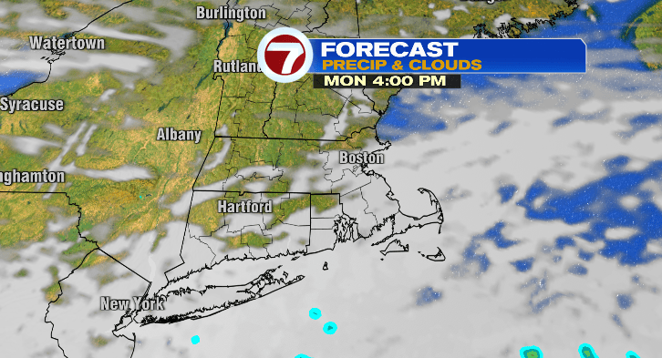
After that we’ll be dry the rest of the day with mostly to partly cloudy conditions.
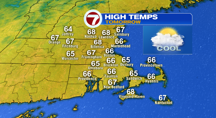
It’ll be cool overnight with lows in the 50s. Spots in southern New Hampshire and north central Massachusetts will tumble down to the 40s. Afternoon highs Monday will be cooler than average, overall in the mid to upper 60s.
Early Tuesday morning there may be an isolated sprinkle or spot of drizzle but most of the day looks dry with variable clouds. It’ll be a chilly start in the 40s with highs in the low 60s.
Fall begins at 8:04 p.m.! Tuesday overnight we drop to the 40s again with highs in the low 60s on Wednesday. We’ll be partly sunny but it’ll feel cool with a bit of a breeze.
The breeze will linger Thursday as well with a sun/cloud mix and similar temperatures to Wednesday.
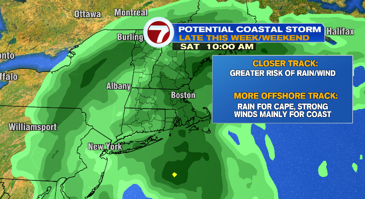
After Thursday, we get pretty active! From Friday through Sunday we’re tracking the potential for a coastal storm bringing rain and wind. Right now, it’s too early for timing details, and the impacts will depend on the placement of the storm system. A closer track would bring more rain/wind and a more offshore track would limit impacts to coastal areas. Still, it’s early but it’s something we’ll be watching as the week goes on! Stay tuned.