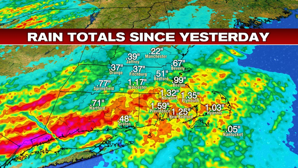
Drenching downpours swept across much of southern New England yesterday afternoon and evening. The heaviest rains were most prolonged south of the Pike, where many towns and cities landed in the 1-3″ range. North of the Pike, totals were generally lower, but most spots still picked up at least 0.25″ of water.
In the wake of that rain, aside from some Cape and Islands early morning wet weather, manly of us start off rain-free this morning. It’s a soupy air mass for sure with dew points running in the high 60s and low 70s, and it’ll be a humid day overall.
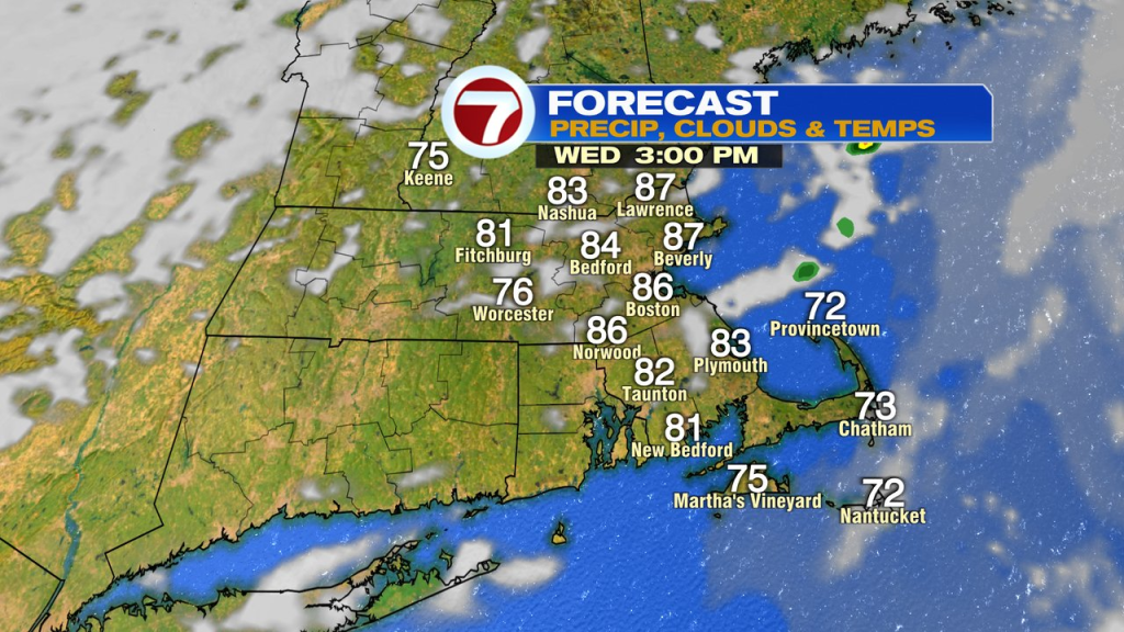
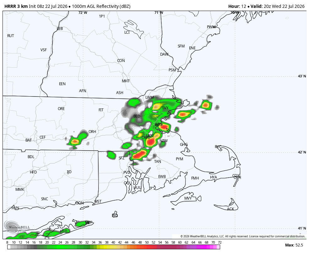
Highs today run up into the mid 80s and with dew points running around 70, it’ll feel steamy outside. That’ll help spark a few isolated to scattered showers/storms as a cold front approaches from our west. Showers and storms won’t be as widespread as yesterday, but brief downpours and gusty winds are possible with any storm that does form. While a brief interruption (rain delay) is possible with a passing shower/storm around Fenway today, we should be able to get both games in.
As a front clears the coast tonight, dew points drop off and drier air moves in.
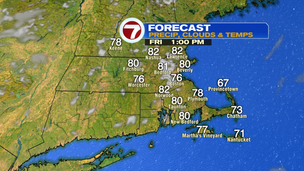
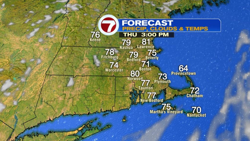
The front wont be that far offshore early tomorrow morning, and that means a few early morning showers across the Cape and Islands are possible. It’ll dry out quickly though with returning sunshine there by late morning. For the rest of us, it’s dry and bright start to finish. Highs max out in the low 80s inland 70s at the coast.
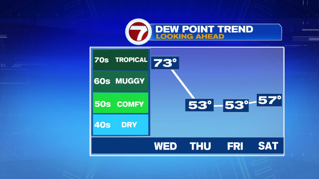
Friday, through Sunday look great. Low 80s inland, 70s at the coast. Overnight lows run in the 50s and 60s with a comfortable amount of humidity in place.