

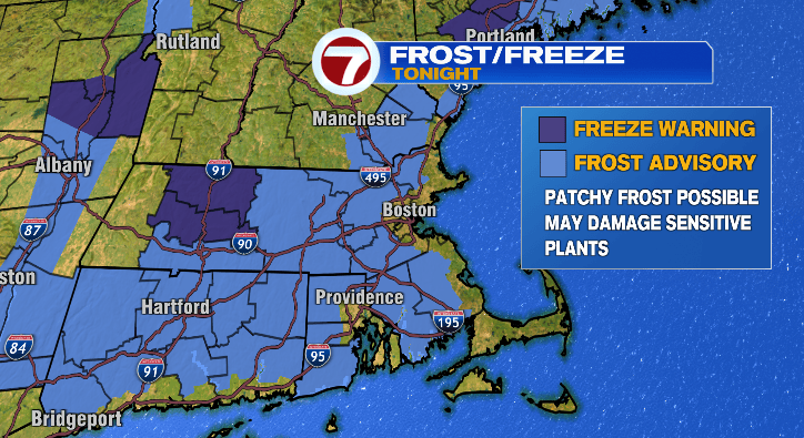
Get ready for a cold night! Temperatures will dive down into the 30s outside of Boston and that’ll lead to some patchy frost into early Wednesday morning! The rest of the week won’t be nearly as chilly. Let’s dive in.
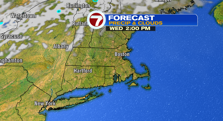
The Boston area will only bottom out in the low 40s, so you’re not included in the frost advisory along with coastal areas that’ll only hit the upper 30s and low 40s. However, inland we’ll be dropping to the low to mid 30s and that will lead to those areas of frost. If you’ve got any sensitive plants, cover them up or bring them inside! Otherwise, get ready for the chill as you’re commuting to work Wednesday morning. We’re expecting ample sunshine throughout the day again.
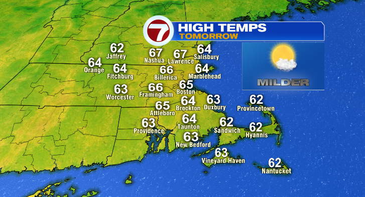
The good news is we’ll rebound nicely, and we’ll be way warmer than Tuesday. Highs Wednesday will jump to the mid 60s.
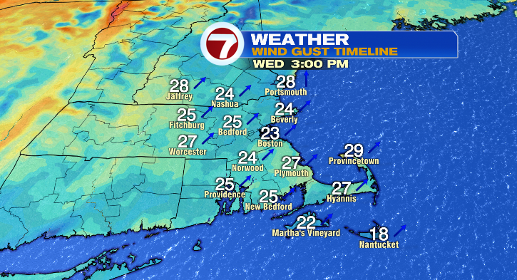
It’ll be a bit breezy again with gusts to 20-30 mph.
Wednesday night will actually be on the mild side. Lows into Thursday morning will only dip to the upper 40s and low 50s. Skies look partly sunny, the breeze will stick around, but it’ll be a pleasant day Thursday with highs into the low 70s.
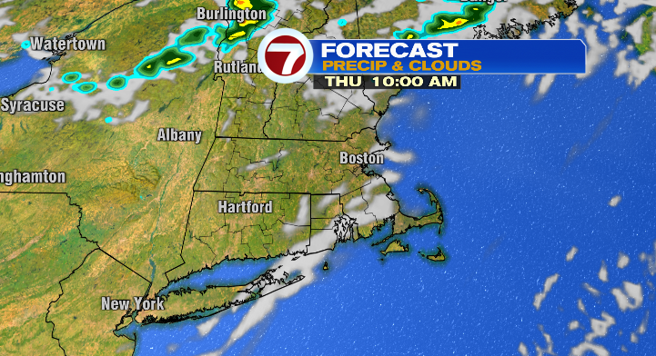
Friday looks pretty good, too! Lows in the upper 40s, highs in the upper 60s, sunshine and a breeze.
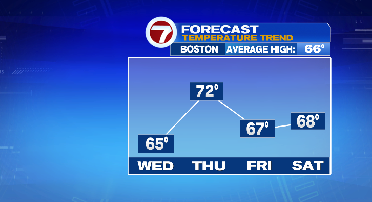
The sun sticks around for this weekend! Saturday, we start in the low 40s and jump to the upper 60s. Sunday, just a few higher clouds with warmer afternoon highs in the low 70s after a morning in the mid to upper 40s. Columbus Day looks wet and mild near 70 degrees.
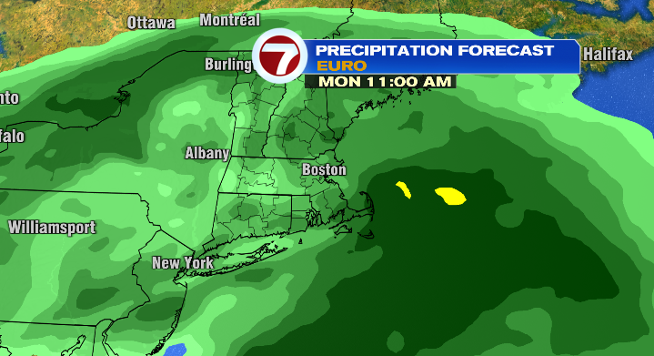
Tuesday the showers continue with highs in the mid 60s. Stay tuned!