

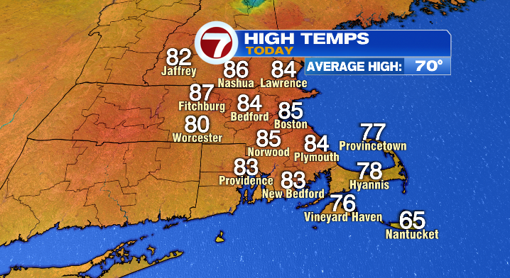
Ah, yes, another summer-like day in the Bay State smack in the middle of the work week. And as I’m sure you’ve guessed, this warm, sunny weather will go right out the window before we hit the weekend.
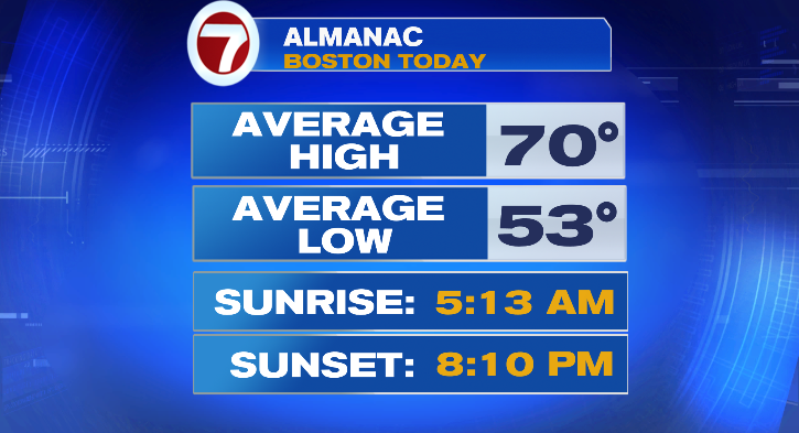
Highs were in the 80s today– a good 10+ degrees above average for this time of year (the average high for the city of Boston, for example, is 70 degrees).
But change is on the way as a cold front moves through Massachusetts this evening. This front will be the catalyst for an isolated thunderstorm or two (highest t-storm chances are for southeastern MA), largely before sunset. While those storms could make for some uncomfortable driving conditions (thunder, lightning, rain), it’s the cooler air after the front that, I think, will be more impactful to the region.
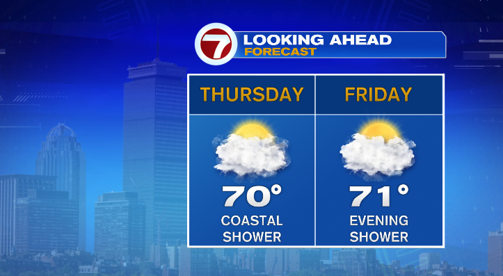
Temperatures will wind up in the upper 50s by tomorrow morning, but they only go up so much from there (this is where that cooler air comes in). Highs on Thursday will be in the upper 60s to around 70– downright average for this time of year. We’ll be partly to mostly cloudy, with a shower or two for the coast in the afternoon. Friday looks similar– temperatures in the upper 60s and low 70s, with a shower or two possible in the evening. It’s not like the end of the week is chilly… it’s just not nearly as warm as today.
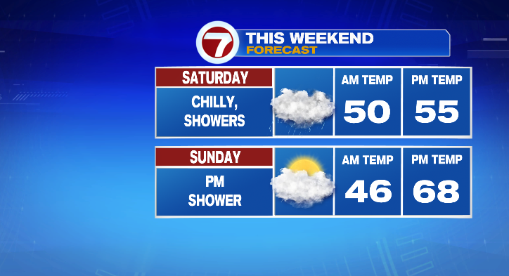
We’ll save the chilly weather for Saturday. Not only will it be cool, with temperatures only getting into the 50s, but it’ll be showery and breezy– very much a raw, early-spring feel, not too dissimilar from this past Sunday.
Sunday will be more manageable, with temperatures in the mid to upper 60s. That said, we’ll still have a few showers possible in the evening
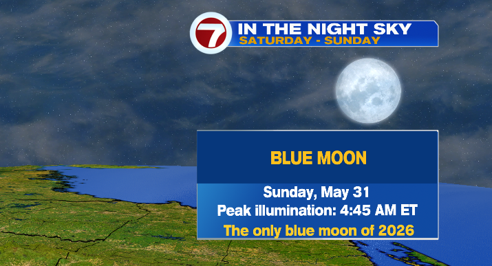
If you’d like a little win for this weekend, maybe this will be just the thing: we have the only blue moon of 2026 on Sunday morning! Peak illumination will be at 4:45 AM on Sunday, May 31 (not too long before sunrise). This blue moon (in this case, the second full moon in a month) will also be a “micromoon”– a full moon occurring when the moon is at/near apogee, aka, its farthest point from the earth. Considering Saturday’s cloudiness, it may be tough to see the moon at its initial rise on May 30th, but with decreasing clouds you may get the chance late on Saturday night/early Sunday morning, as the moon nears its peak.
Looking into next week, we keep the cooler, showery forecast around. We’re unfortunately stuck in, what I’d like to think of as a parade of disturbances thanks to a phenomenon called an “omega block”.
Check out Josh’s latest video explaining how this works: HOW AN OMEGA BLOCK WILL IMPACT NEW ENGLAND
This will keep us with below-average temperatures as well as shower chances all the way through midweek next week.