The average high this time of year is in the mid 60s, and over the next several days, we won’t be too far off that. While day to day, we’ll some some weather variations, overall, the pattern looks fairly seasonable through the weekend.
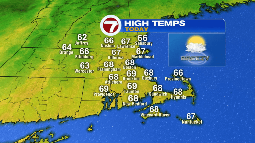
Today, temps run in the mid to upper 60s with a sunny to partly cloudy sky and a gusty breeze to 30mph.
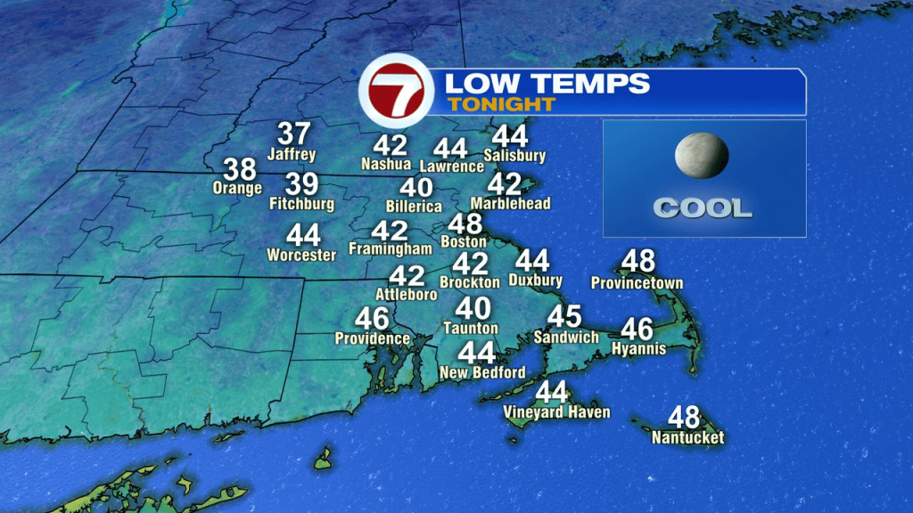
Tonight, mainly clear and cool with a diminishing breeze. Low fade into the upper 30s and low 40s in the cooler burbs and stay in the 50s in Boston.
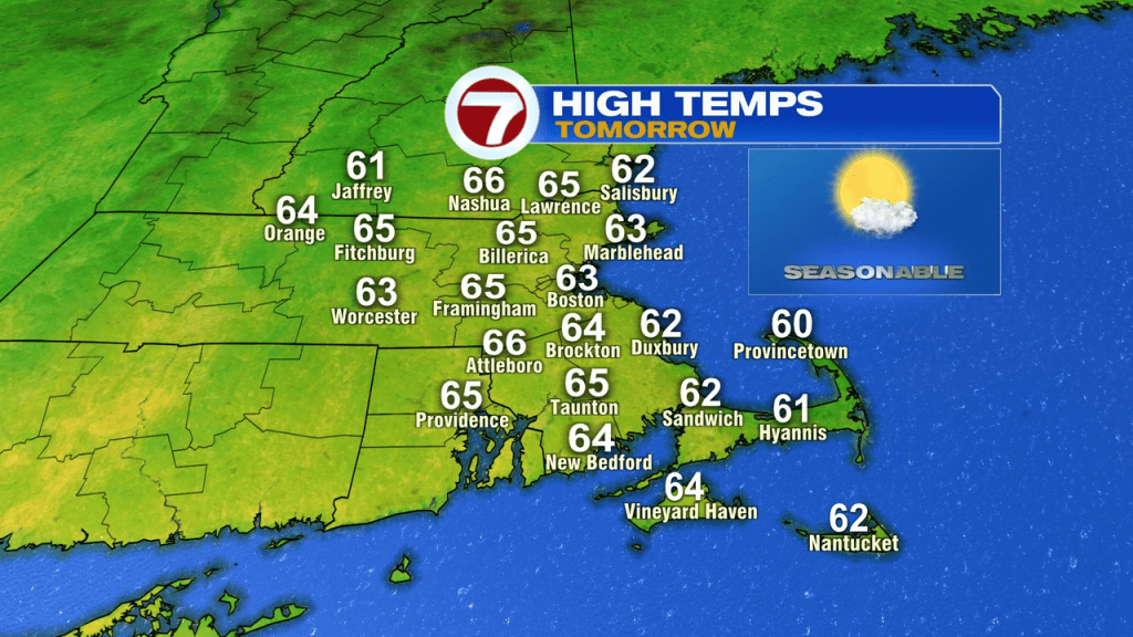
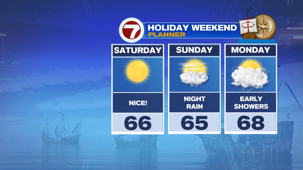
Saturday looks great with a mostly sunny sky and temps in the low to mid 60s. The breeze will be light too, so overall, a fantastic Fall day for any of those outdoor activities you have planned.
Sunday is dry for much of the day too, however, clouds do thicken up in the afternoon and rain chances start going up near and just after sunset. Rain is likely Sunday night into early Monday morning.
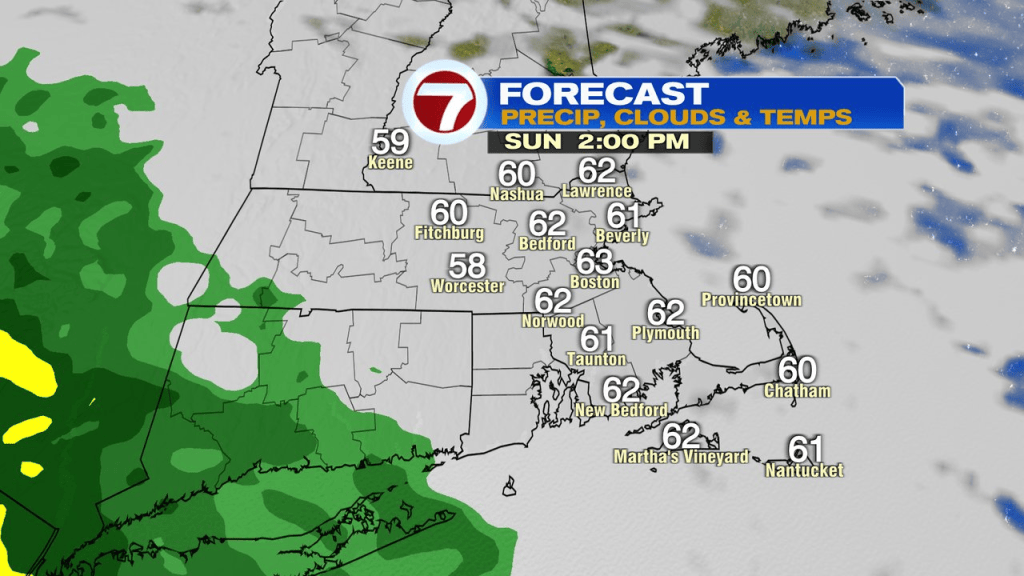
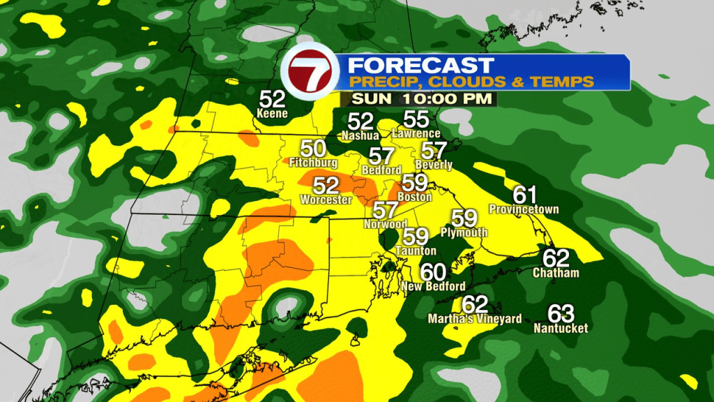
As of now, the rain doesn’t last long Monday morning as we dry out mid to late morning and feature a lot of midday/afternoon dry hours with temps in the 60s once again.
Tuesday afternoon, a cold front brings another round of scattered showers.
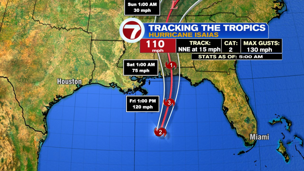
The wet weather we do get this weekend is in part from Isaias, which is a cat 2 hurricane this morning and heading into the western Panhandle of Florida tonight. The deep connection to a tropical moisture pipeline won’t be there for us, so flooding tropical downpours are unlikely. Still, widespread, steady rain is likely Sunday night.