

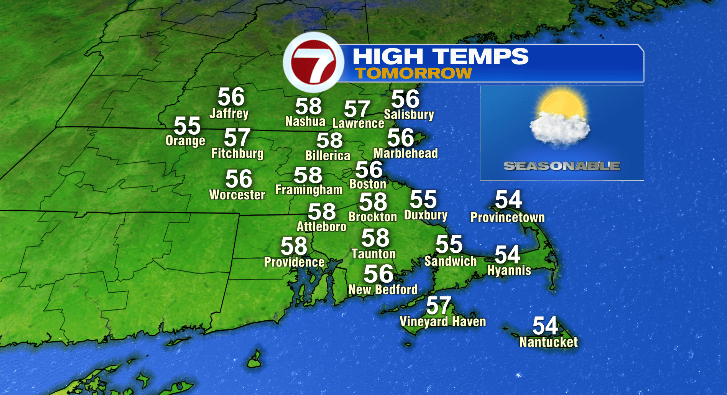
Happy Tuesday! While today was no day like yesterday in the 70s, it was still spectacular in the 50s with plenty of sunshine. There may be a few more clouds around at times Wednesday, but temperatures will still be warmer and that trend will continue later this week in a big way.
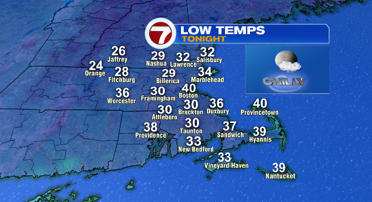
First, unlike yesterday, temperatures will drop like a rock tonight. Temperatures will quickly drop to the 40s and 30s with overnight lows in the 20s and 30s. Boston will be more mild near 40 overnight:
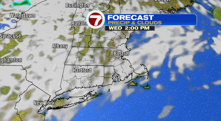
So, yes, your Wednesday will feature a cold start for most. There will be more sun in the morning but a few clouds will roll in as the day progresses. Overall, partly sunny with highs back into the mid to upper 50s.
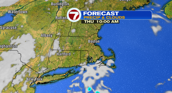
Thursday morning won’t be nearly as bad in the 30s and 40s. Plus, the sun will be shining! That, along with a southwesterly breeze, will allow temperatures to jump back into the mid to upper 60s.
Friday morning looks pretty mild for this time of year! Morning lows will (only) dip to the upper 40s and low 50s. Not bad at all. And the afternoon looks even better! We jump to the low 70s with mostly sunny skies once again.
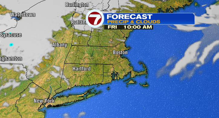
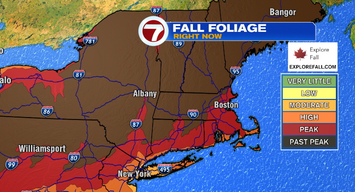
That’s good leaf-peeping weather. At least in eastern Massachusetts where the foliage is still at its peak.
Saturday is Halloween and the forecast isn’t even remotely scary! Morning lows will be business-as-usual in the 30s and 40s with afternoon highs in the upper 50s. That’s exactly at average for this time of year. During trick-or-treat times, dress for temperatures cooling from the mid 50s to the upper 40s.
Sunday morning, we’re waking up in the 30s and 40s with highs in the low 60s. Skies look partly sunny. Monday looks mainly dry and in the mid 60s. Rain chances start returning in the days after that. Stay tuned!