

So… what’s everyone want to talk about?
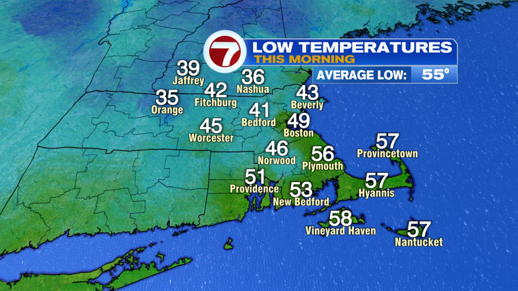
While the cool breeze is persistent today, it’ll stay dry again with highs in the low to mid 60s. It’ll start dry tomorrow too with a gusty northeast wind continuing to increase. Clouds increase tomorrow too with some showers possible across Southeast Mass in the afternoon/evening.
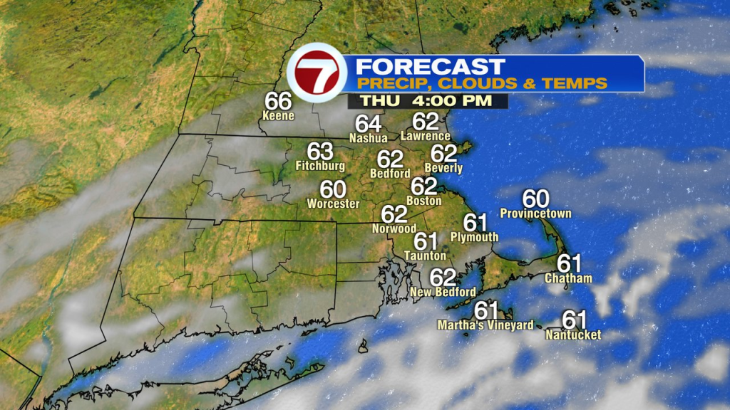
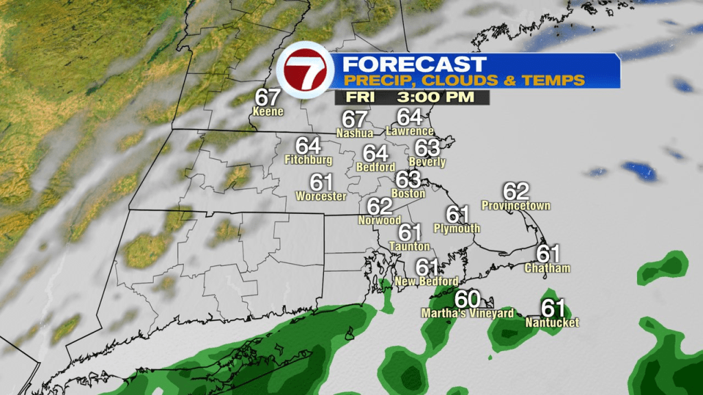
That’ll begin the wet weather that will stretch through the weekend, and likely into Monday.
Long duration coastal storm….
As an area of low pressure develops off the east coast, it’ll cut off from the jet stream and wobble around south of us as it slowly gains latitude up the east coast. That means periods of steady rain, at times heavy, and persistent northeast winds will prevail through the weekend.
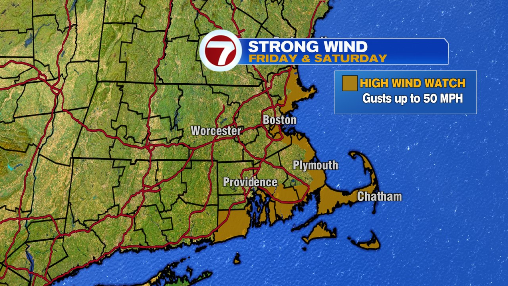
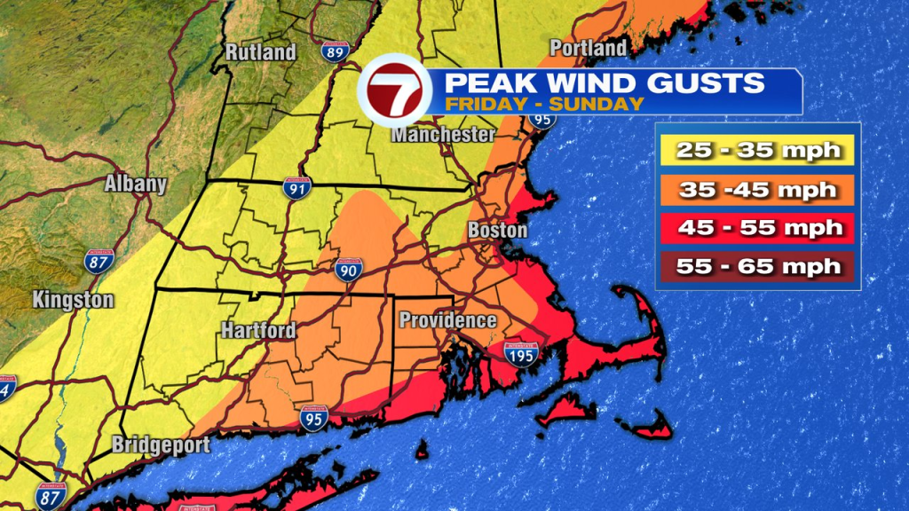
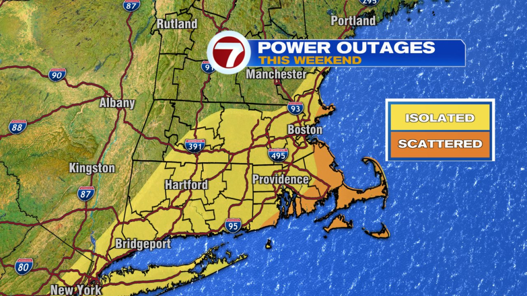
Wind gusts run 30-50mph, strongest at the coast, especially across Southeast Mass. With leaves on the trees, the added stress of those leaves acting like little wind sails, will make them more susceptible to pockets of tree damage and scattered power outages.
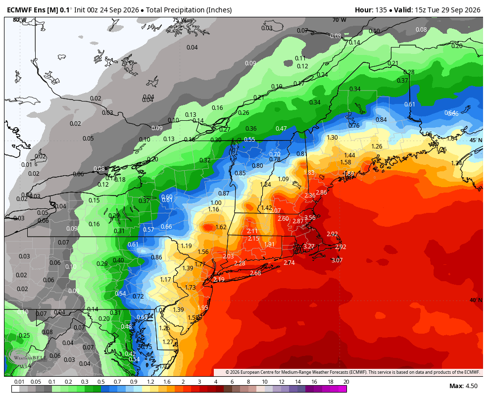
Waves of rain will be into and out through the weekend, and even when we catch some lulls in the action, expect some drizzle to keep it damp. Rain totals run 2-4″, with localized higher totals possible across eastern Mass. Widespread flooding from rain is not expected as rain will be stretched out over a 2-3 days period.
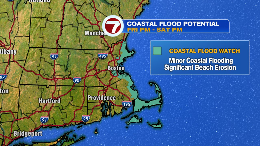
Now at the coast, at least minor coastal flooding is expected during high tide cycles. In addition, with large waves/pounding surf, beach erosion will be significant, especially after several high tides of pounding surf/minor flooding. East facing beaches that are most exposed to the surf/northeast fetch will experience the most erosion and flooding. High tides run around midday and then again near midnight this weekend.
Showers and breezy conditions linger into Monday before we start improving by Tuesday and Wednesday.