7Weather- Stuck under the clouds, well at least for now. Skies gradually clear tonight, and then the sun sticks around for the rest of the week.
It will be chilly tonight with temperatures dropping into the 20s. Winds shift out of the north for the Cape, firing up some a few ocean-effect snow showers. It won’t amount to more that a quick dusting.
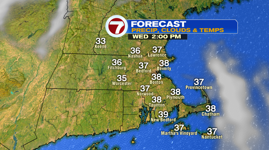
The sun returns tomorrow, and highs are between 35-42º.

A high pressure remains in place on Thursday, keeping the bright, sunny skies. It’s dry and seasonably chilly in the mid and upper 30s.

We go back to mild temperatures on Friday, and it remains dry and clear. The weekend is a tricky forecast. There are two systems approaching the region, one to the north, the other to the south. The storm to the south looks to stay well offshore, but it will be cold enough, so the northern part of the storm could produce snow if it gets close enough Saturday afternoon. The second system is northwest of southern New England, and moves in late Saturday night into Sunday morning. This one also might just miss us by a little, and could only make it cloudy on Sunday. We will continue to fine-tune the forecast as we get closer.

