

Yet again a damp and dreary start? Well, yes, but it won’t last long. As muggier air starts to move in, some patchy drizzle and low clouds have formed early this morning, but there’s not a lot of moisture in place to force out much wet weather. In fact, by mid to late morning, breaks of sun occasionally starts to poke through. That’ll help temps near 70 this afternoon. With dew points around 60, it’ll feel a bit muggy too.
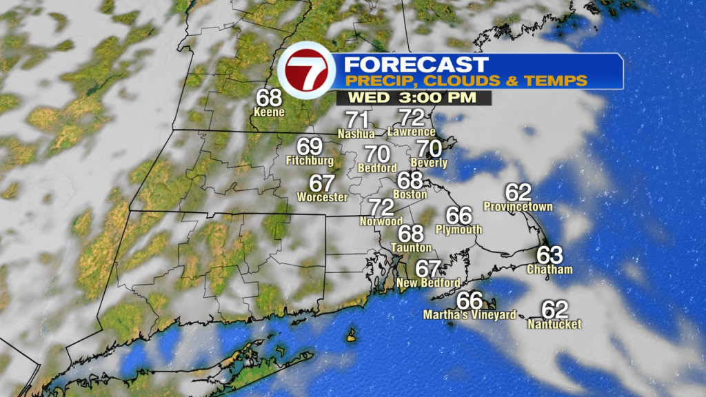
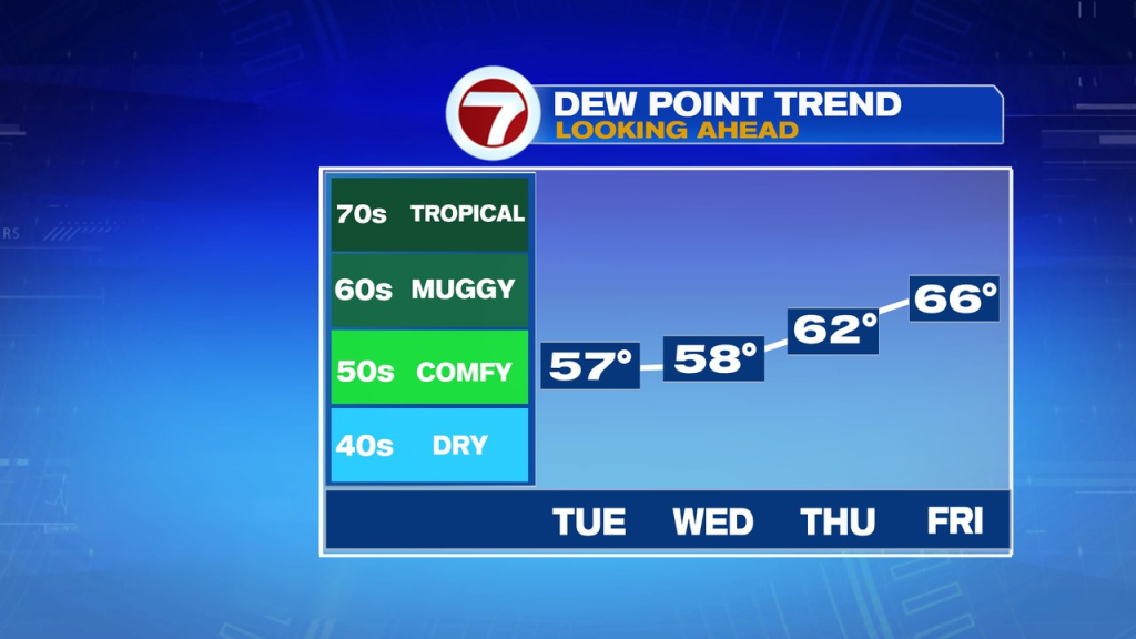
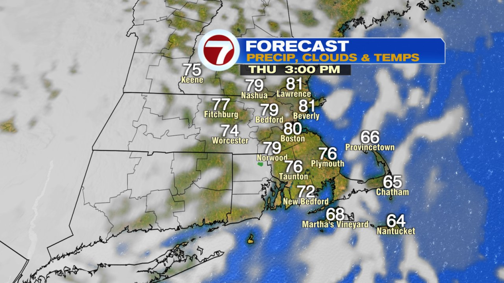
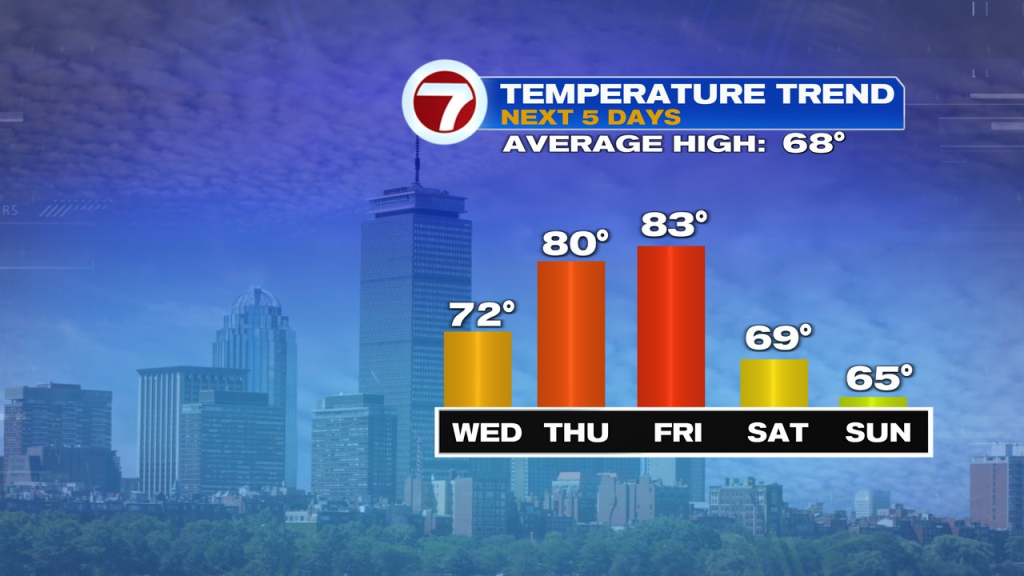
Humidity goes up the next couple of days as late summer warmth returns. Temps warm to near 80 tomorrow and into the low to mid 80s Friday. More like late August vs. early October.
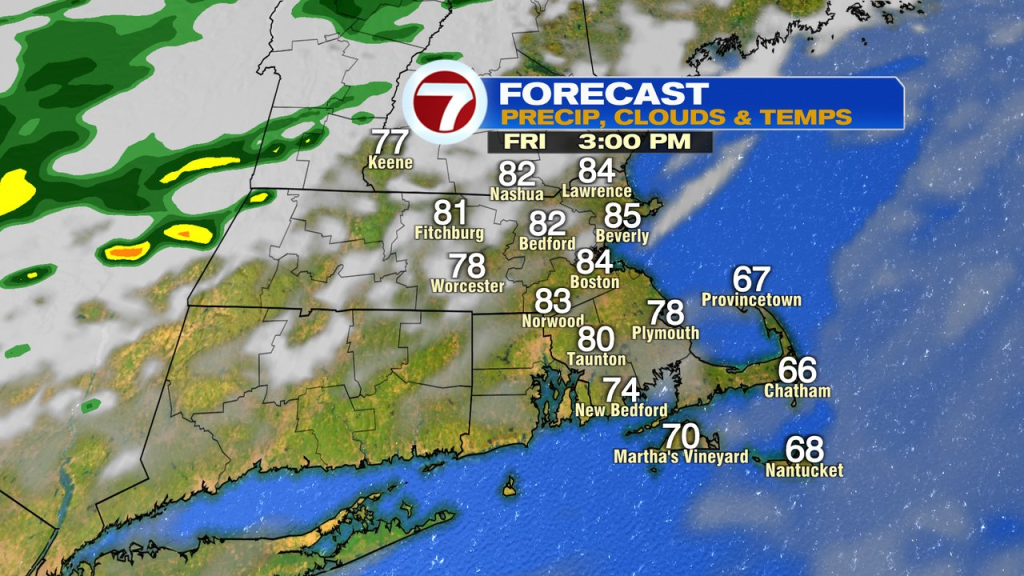
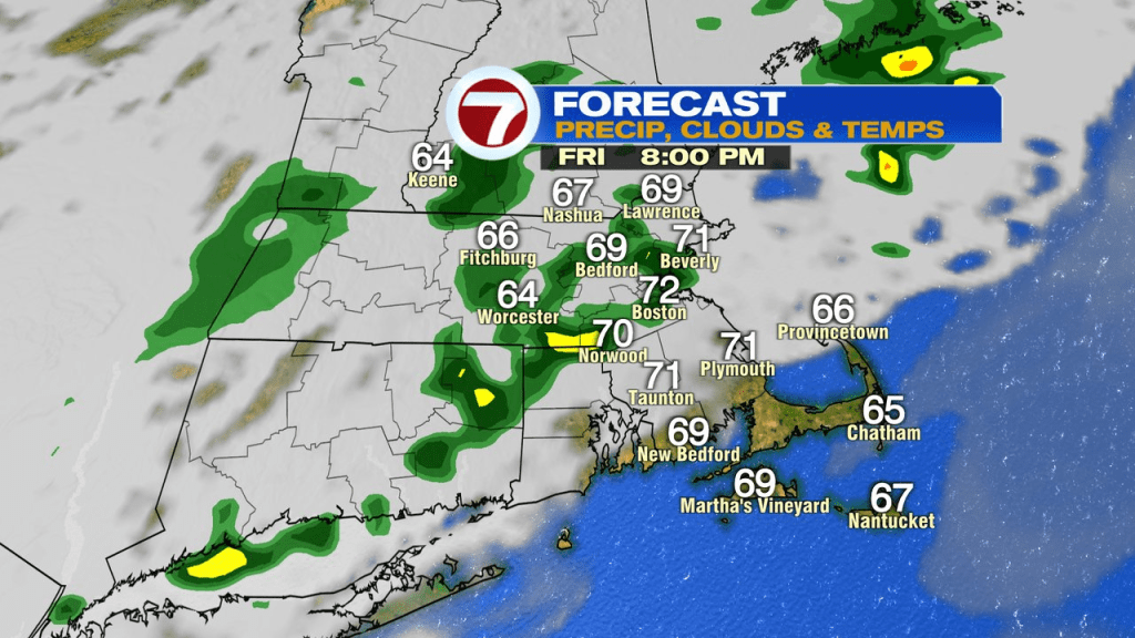
The warmth this time of year if often short-lived, and so will be this round as a cold front comes through Friday night. Ahead of it, we’ll track some showers Friday evening, which will exit stage south and east by early Saturday morning.
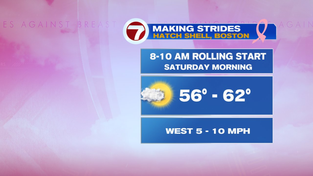
Apple picking, soccer games, anything else planed outside this weekend? Well, the weather looks good for you. Saturday turns out mostly sunny with temps 65-70, and Sunday will be mostly dry with temps in the mid 60s. While we’ll watch to see how close a wave of low, with showers, gets to New England Sunday, the pattern seems flat and suppressed to our south. At this point, the chance for showers during the day seems low, with perhaps just a few very late-day/evening.
Next week looks like classic October with no major rain storms through mid to late week. A few spotty showers may move through Monday night with a cold front, but that looks to be about it through at least mid-week