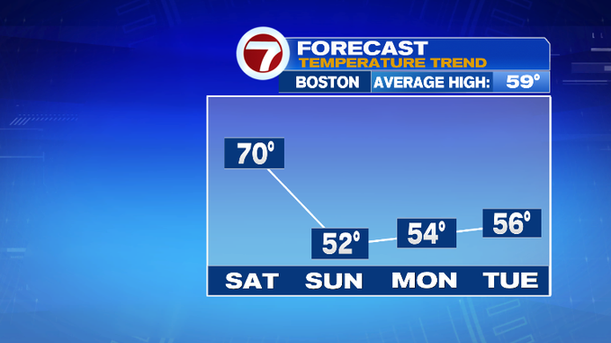
The weekend forecast is split between unseasonably warm temperatures Saturday to unseasonably cool high temperatures tomorrow. The culprit? A cold front swinging in from the northwest later today, which will clear the skies just in time for tonight and will bring dip those overnight lows into the 30s!
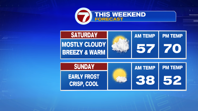
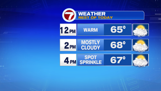
As for your Saturday, ahead of the cold front, temperatures will stretch into the upper 60s to 70° under mostly cloudy skies. A spot shower is possible just ahead of the cold front, but most locations will remain dry. The front traverses the region through the late afternoon and into the early evening, clearing the region just after sunset.
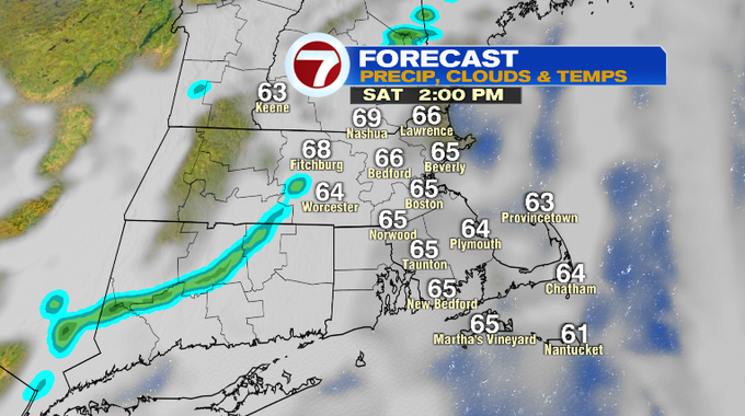
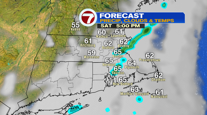
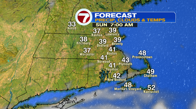
Skies clear tonight as the cold front brings in the colder air behind it, dipping temperatures into the 30s overnight (quite a difference from the morning lows of 50s earlier this morning). It will be breezy with a northwest wind 10-15 mph, making it feel even cooler at times.
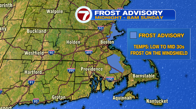
Speaking of the 30s tonight, a Frost Advisory has been issued for Essex County and western Plymouth County from midnight to 8AM Sunday morning.
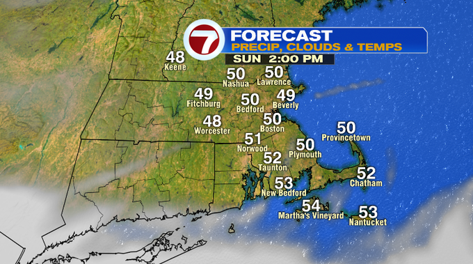
After a cold start to our Sunday, temperatures rebound into the low 50s tomorrow afternoon under mostly sunny skies.
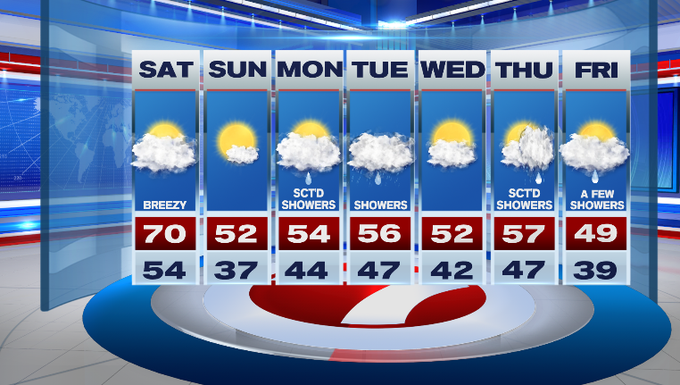
The 50s stick around through most of the next work week, aside from Friday when temperatures will only make it into the upper 40s.
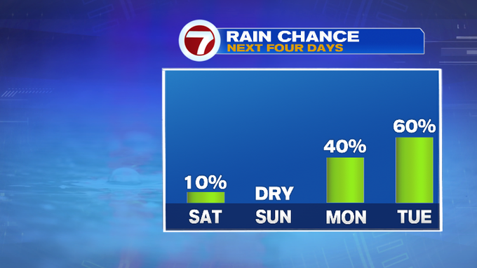
It will be an unsettled start to the work week with shower chances both Monday and Tuesday, with a better chance on Tuesday.