

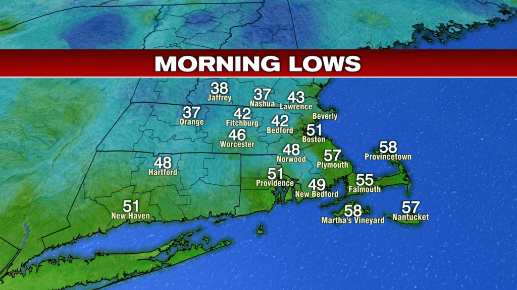
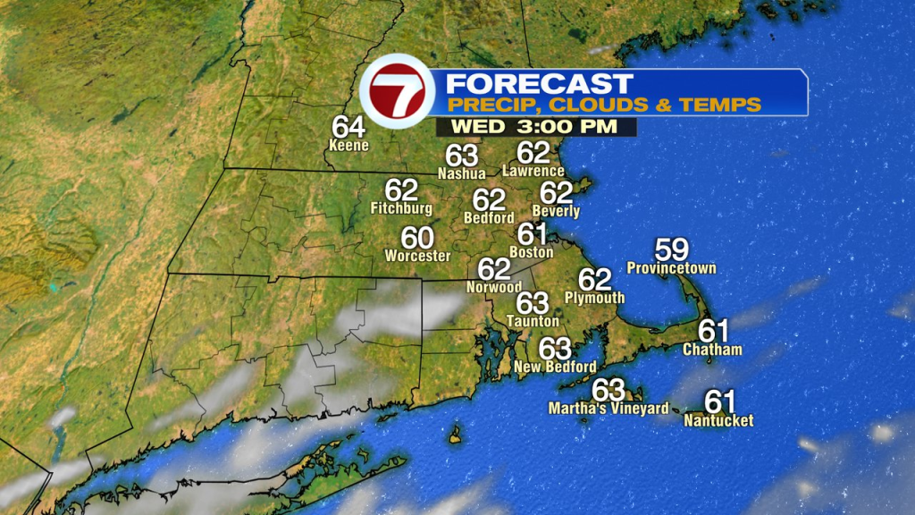
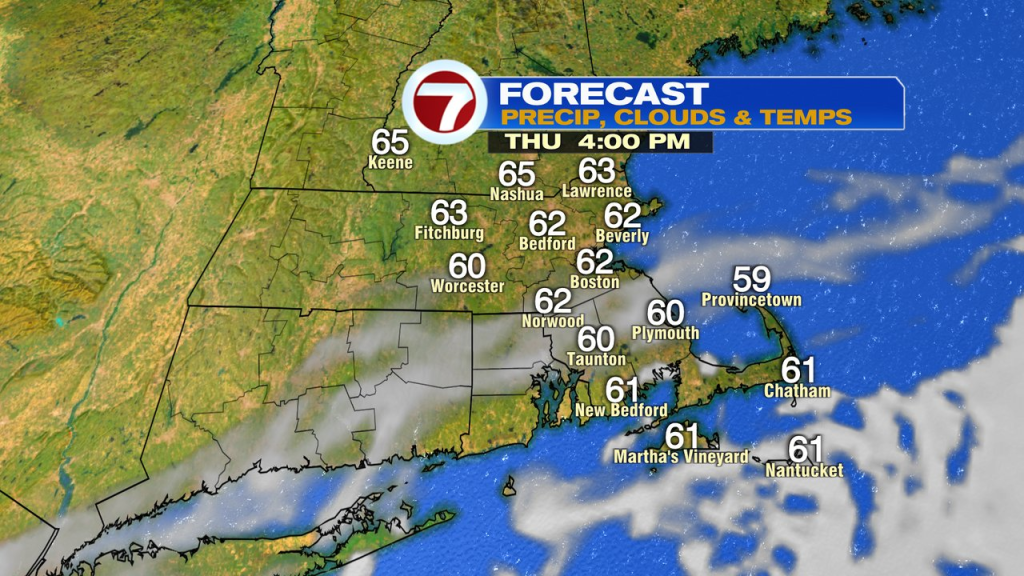
A bit of a chill in the air for sure northwest of Boston this morning as some northern Mass and southern NH temps run in the upper 30s. Today and tomorrow will be very similar days with highs running in the low to mid 60s and more sunshine than clouds. Overall, a nice couple days, albeit a bit breezy, especially across Southeast Mass.
By Friday, our attention turns to a coastal storm that develops off the east coast and starts to migrate north and west. As it gets closer, an onshore wind increases and the chance for rain starts to go up by late Friday into Friday night. First locations to catch wet weather will be southeast Mass. The storm will be slow to move as it cuts off, so as it gets close enough to us, it remains unsettled through much of the weekend.
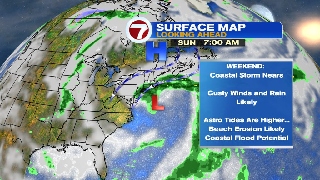
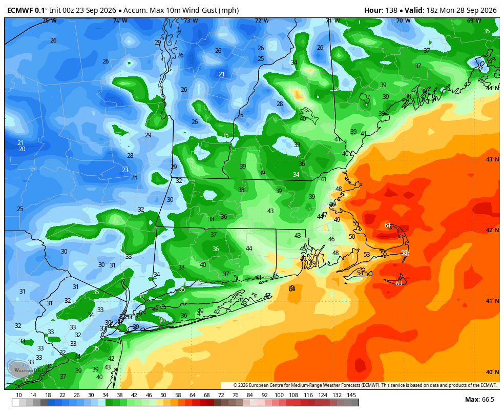
How much of an impact it has will be predicated on it’s track and strength. Right now, winds gusts around 30-50mph are likely, strongest at the coast, especially Southeast Mass.
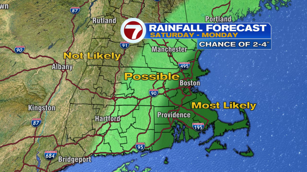
The best shot of seeing 2-4″ of rain through the weekend will be across eastern Mass with lower totals likely across western New England.
At the coast, we’ll have to watch the potential of coastal flooding with this storm as tides start running astronomically higher too. With big waves building offshore and a pounding surf through the weekend, significant beach erosion is on the table too.
The storm slowly breaks down and leaves with just some leftover scattered showers Monday, before drying and warmer air moves back in mid to late week next week.