

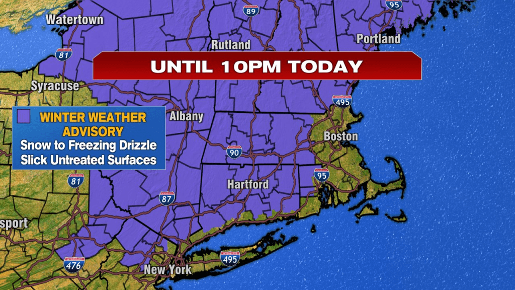
A fresh coating to a couple inches of snow dropped overnight and is blanketing the ground this morning. With temps running into the lower 30s, we’ll watch for some slick spots where the numbers are at freezing, if not below it. Snow showers taper off to areas of freezing drizzle across the interior and just drizzle across much of eastern Massachusetts. A winter weather advisory is in place across much of Central Mass and NH for those pockets of freezing drizzle glazing over any untreated paved surface.
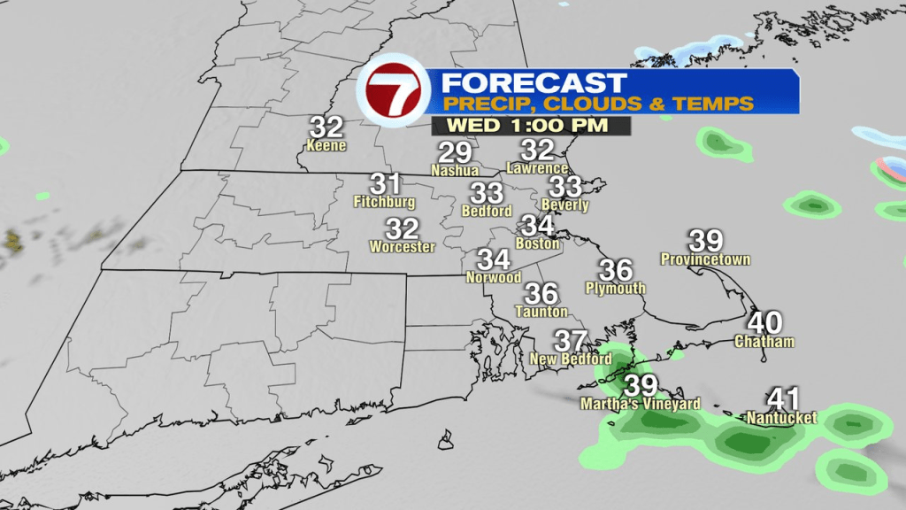
Despite not having much precipitation fall from mid morning through the afternoon, do expect a damp and dreary day as temps are stuck in the 30s and fog and drizzle will be with us at times.
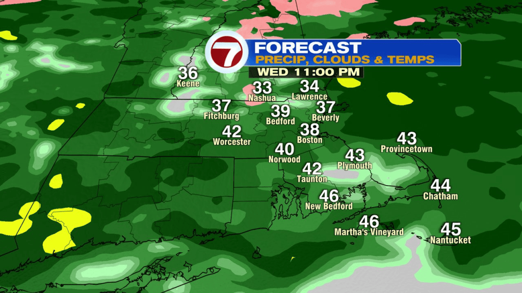
Patchy drizzle turns back to steadier rain this evening, and we’ll have that steady rain with us overnight tonight, through mid morning tomorrow.
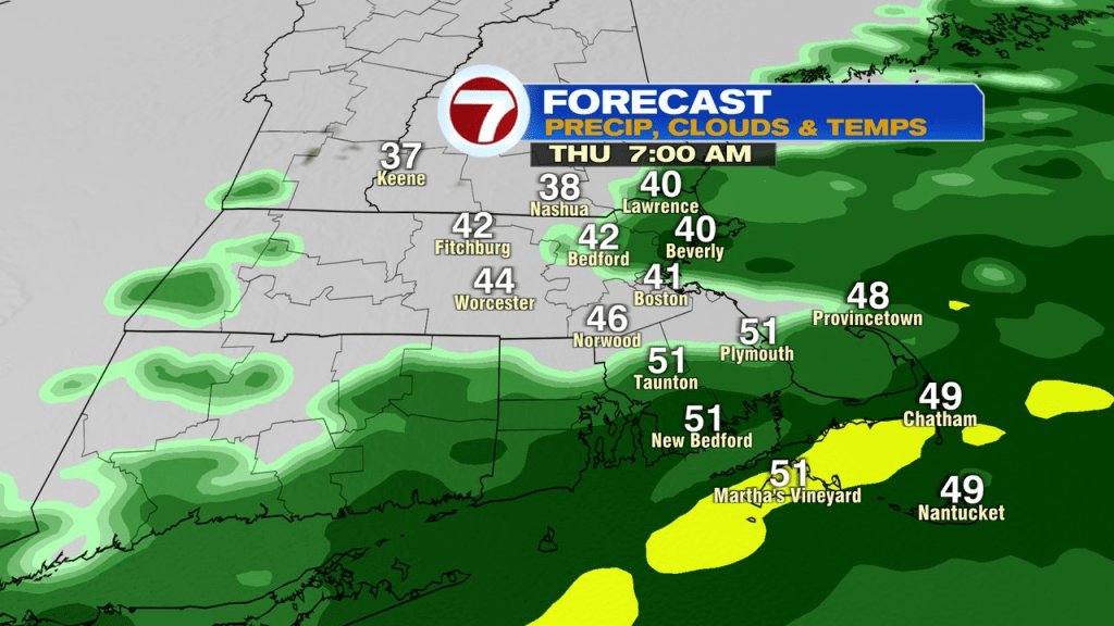
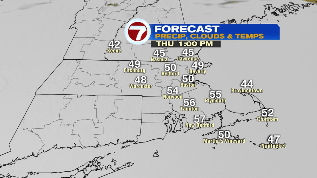
Late morning into the afternoon tomorrow, we’ll catch some dry stretches as temps run up to near or above 50 south of the Pike, and hold in the 40s north.
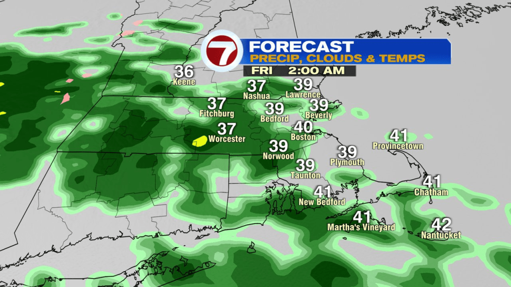
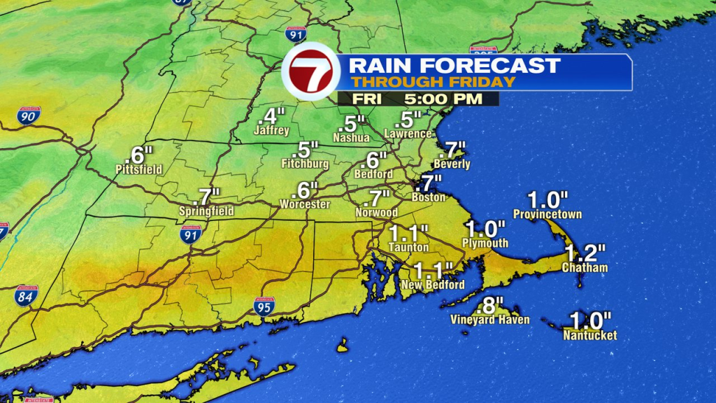
Then, more rain Thursday night into Friday morning before drying out in the afternoon and holding that dry air into Saturday. All said and done, most locations pick up 0.5-1.0″ of rain with locally up to 1.5″ across CT, RI and Southeast Mass. The highest chance for renewed minor river flooding is across Rhode Island. That’s where a flood watch is back up.
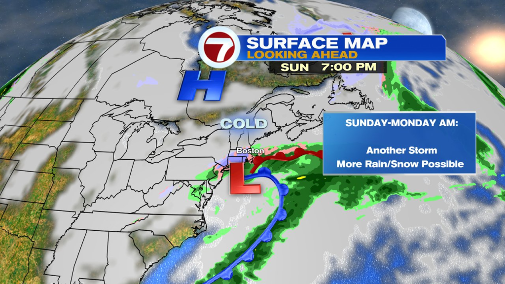
Sunday into Monday morning… you guessed it, another storm. We’ll watch to see where a coastal low tries to take over and how much cold air gets pulled back down into Southern New England. Rain and snow are back in the forecast, with highest risk of snow across the interior. Plenty of time to watch this one, we’ll keep an eye on it.
Much colder air is back in place Monday and Tuesday.