

The chill is back in the air this morning as many locations outside of Boston have dropped back below the freezing mark to start the day.
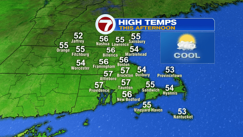
The recovery today is modest, back into the mid to upper 50s this afternoon. We’ll also increase the clouds through the day. The clouds are with a warm front moving in, and on the other side of it… warmer air.
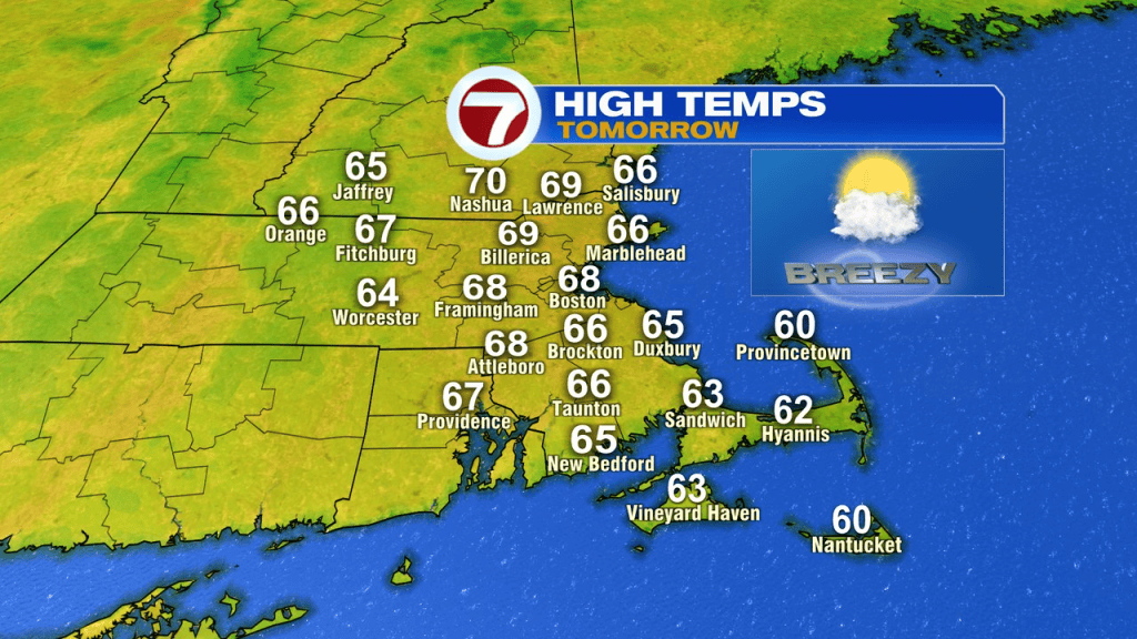
Temps tomorrow push into the mid 60s to near 70 and run around there again Friday.
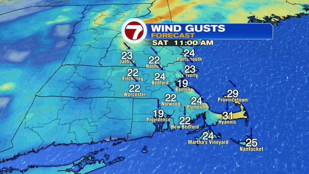
A cold front does slip through early Friday morning with a patch of clouds and an early morning spot sprinkle, then returning sun for most of the day. The breeze shifts to the northwest, gusting 20-30mph. The colder air takes a bit to get back in here, so we’re mild through early to mid afternoon. Temps will fade fast Friday evening and set the stage for a seasonably cool Halloween.
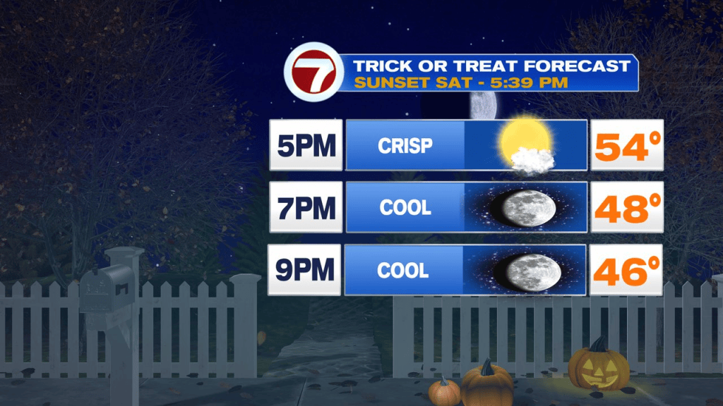
Halloweens forecast overall is solid. Temps max out in the upper 50s with plenty of sunshine winning out. There will be a chilly breeze in the morning to midday, but that wind diminishes in the afternoon.
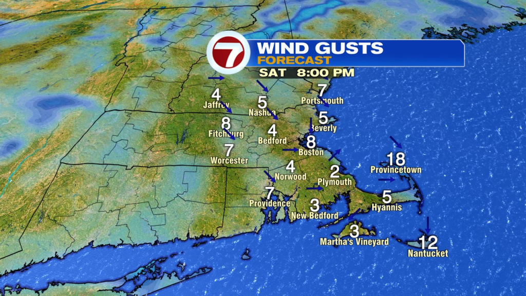
Light winds win out with dry times in the evening. Plan on temps falling into the 40s once the sun sets and those little ghosts and goblins take to the streets. Overall, it’s good trick-or-treat weather and excellent firepit weather as well with little wind in place.
Sunday, temps rebound back into the low 60s for highs, finishing off another nice Fall weekend. Monday will be milder, mid to upper 60s.
Wet weather chances don’t show up until sometime around mid-week next week.