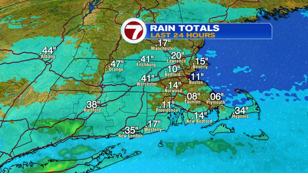
We didn’t see a lot of rain, a lot of us did get some rain. Generally, rain totals landed under a quarter of an inch for much of eastern Mass and up to half inch for parts of central Mass. While the totals weren’t high, but it did offer a damp and dreary feel for many yesterday.
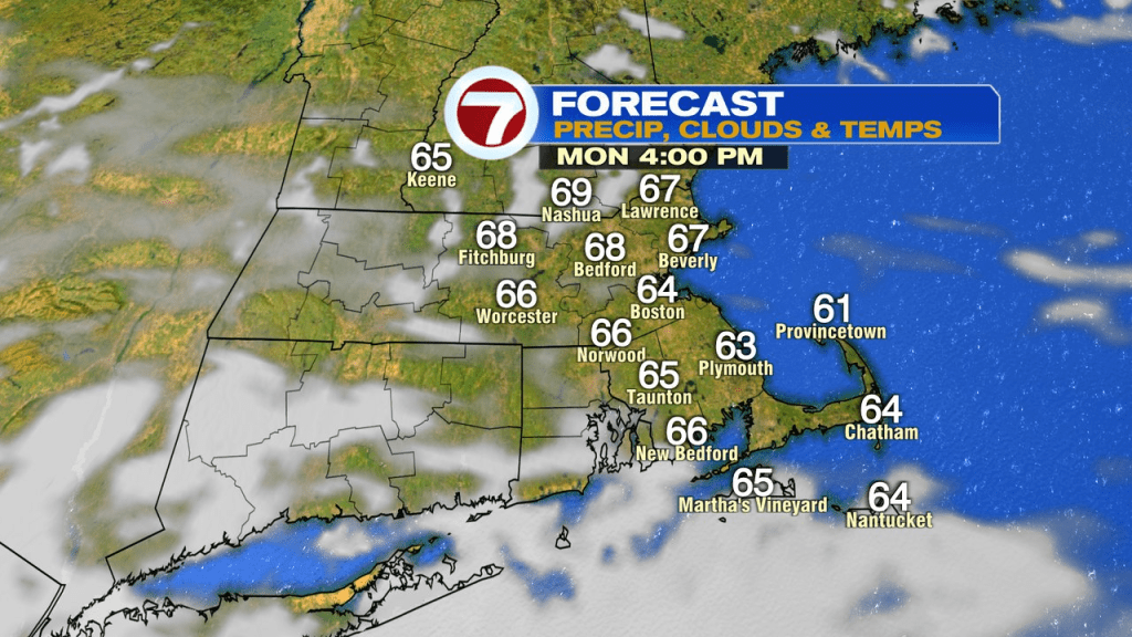
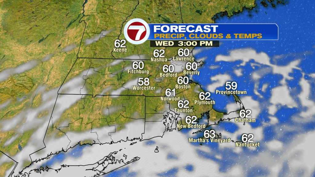
We wake up today to a damp and dreary start with areas of drizzle, however, through the day, we improve. Mid to late morning sees the shutdown of drizzle and as clouds breaks for some sun, by midday into the afternoon, it turns out to be a nice Fall day. Highs run in the mid to upper 60s.
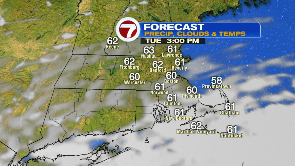
Tomorrow – Thursday will be very similar with a busy onshore breeze, highs in the low to mid 60s and mainly dry.
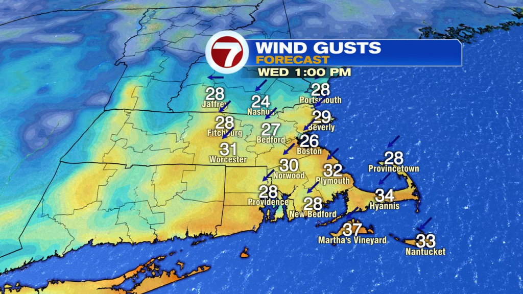
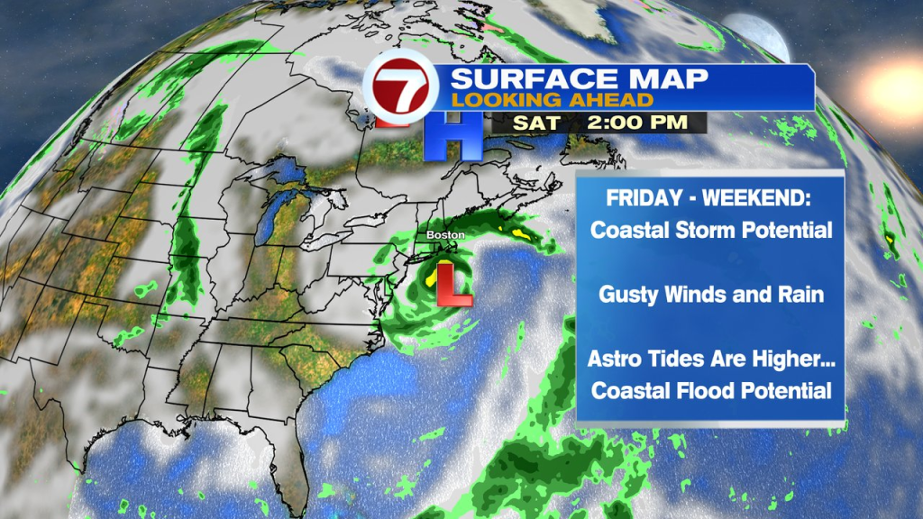
By Friday, our attention turns to a coastal storm that develops off the east coast and starts to migrate north. As it gets closer, onshore wind increases and the chance for rain starts to go up. The storm will be slow to move as it cuts off, so if it gets close enough to us, it could be unsettled into much of the weekend. How much of an impact it has will be predicated on it’s track and strength so it’s too early to pin down those details of how much rain/exact timing and how strong the winds will be. However, with that said, as the fetch of wind is onshore all week and strengthening, we’ll have to watch the potential of coastal flooding with this storm as tides start running astronomically higher too. Plenty to watch for the end of the week…as they say… stay tuned.