

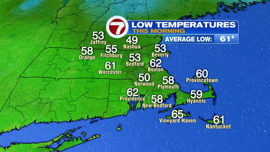
Chalk up another nice day yesterday with temps near 80 in the afternoon, followed by another comfortable night as overnight lows fell back into the 50s and 60s. That’s where we start this morning, with low humidity and comfortable temps.
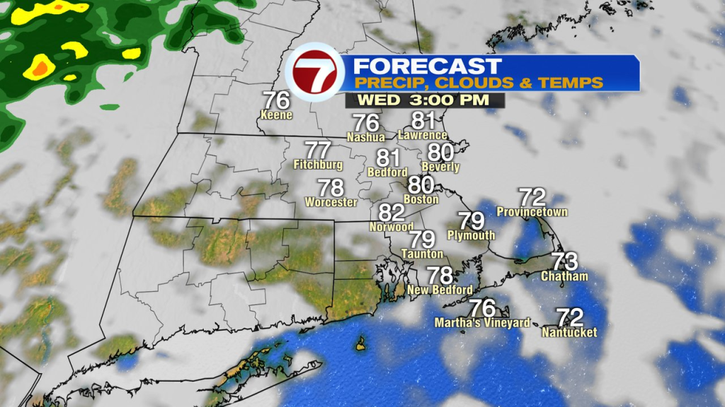
Humidity does go up through the day, becoming most noticeable this afternoon and evening. Highs bounce back again to near 80 despite increasing clouds. The day looks mainly dry from start to finish, although near day’s end, a few spotty showers/sprinkles are possible across southern NH and northern Mass.
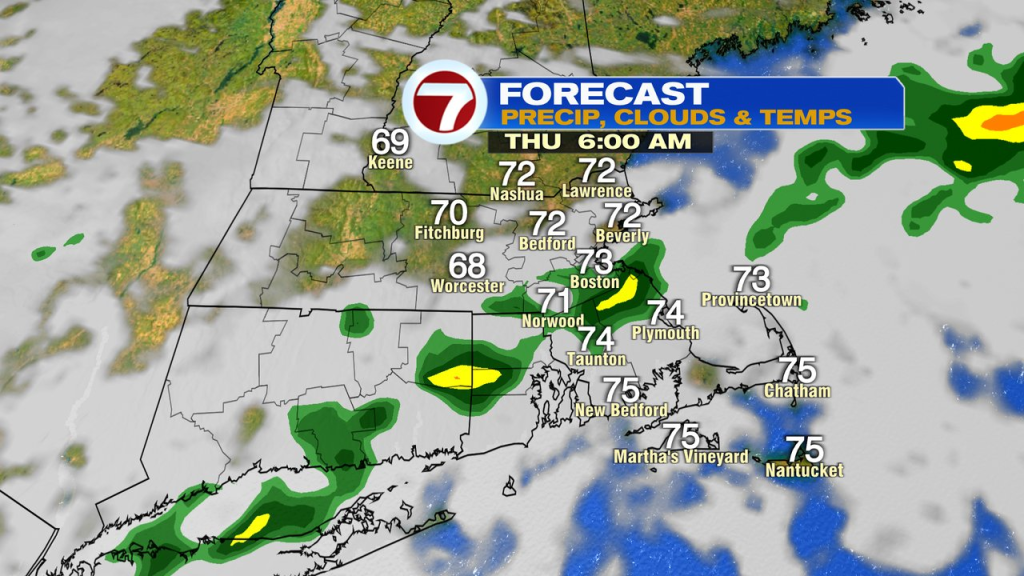
It’ll be mild and muggy tonight with lows only near 70 as dew points stay in the mid 60s to near 70. We’ll track some scattered showers through here too. Rain totals don’t add up to a whole lot though, generally under 0.25″.
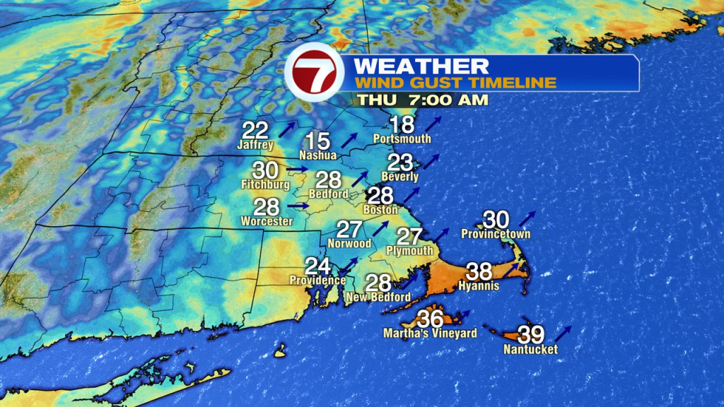
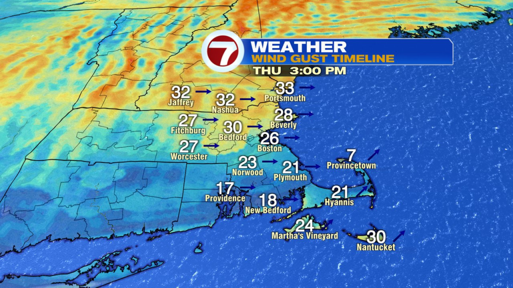
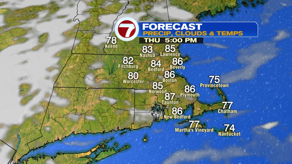
Spotty showers taper off by mid morning tomorrow (8-9am), and as we dry out, sunshine returns and sends temp soaring. It’ll be quite breezy too. Winds in the morning are strongest out of the southwest, gusting 30-40mph over the Cape and Islands, and generally out of the west/northwest in the afternoon. Highs push up into the mid to upper 80s in the afternoon, creating the mid summer vibe for sure.
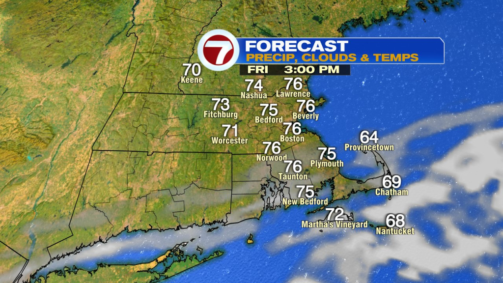
With lower humidity in, temps slide back into the 50s on Friday morning with mid 70s by Friday afternoon. Clear skies and little wind will allow for the burbs to drop into the 40s Friday night. Saturday looks good with highs in the mid to upper 70s and low humidity.
Higher humidity comes back Sunday, and with it, a few scattered showers are possible.