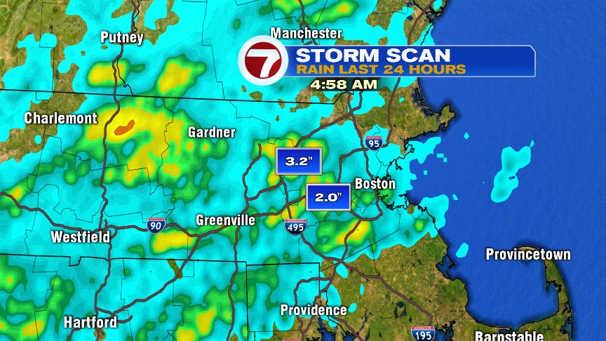
Florida-like humidity yielding Florida-like storms yesterday as some towns picked up a quick 2-3″ of rain in a short period of time. Maynard picked up 3.76″ of rain in 40min! With rain rates like that, it’s no wonder why we had localized flash flooding and street flooding issues. While some towns got hammered with tropical downpours, other towns saw next to nothing.
A few showers move through this morning and a couple isolated to scattered storms form late morning to mid afternoon too. Locations across Southeast Mass will be most prone to them.
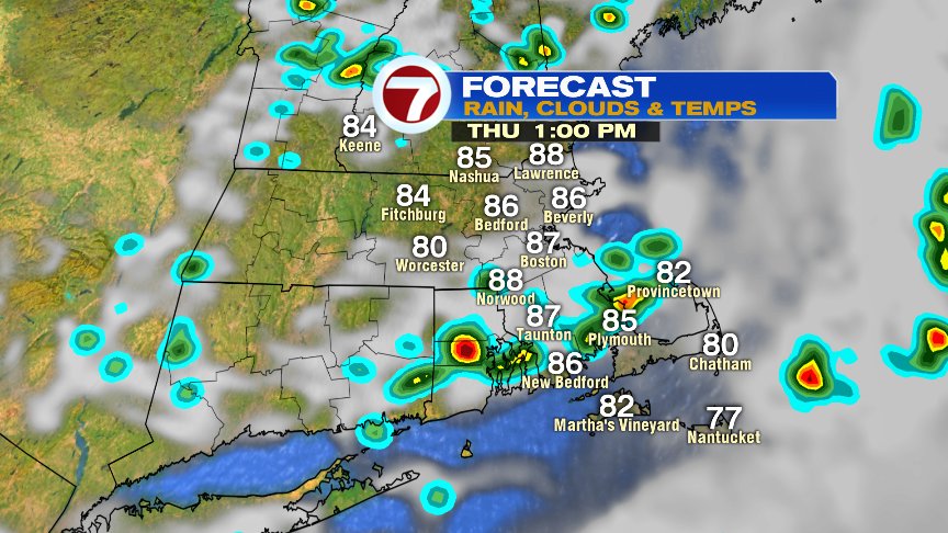
While I can’t rule out a passing shower or storm for you early tailgaters at Gillette, I do expect a dry game with lowering humidity this evening. Let’s Gooooooo!!!!!

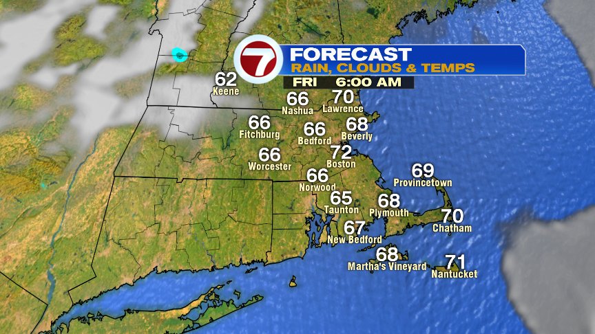
With that lowering humidity comes lowering night time lows as the numbers finally dip back down into the mid 60s in the burbs and hang out near 70 in Boston.
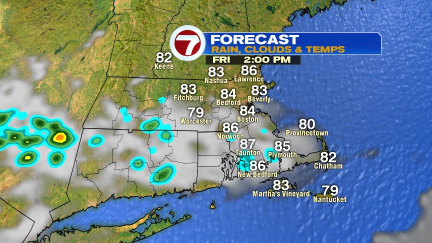
Tomorrow is warm, but a more comfortable warmth with dew points in the upper 50s to near 60.
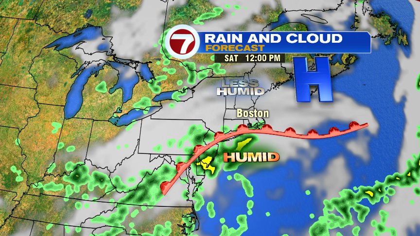
The weekend forecast is a bit tricky as the location of the warm front will be key. That warm front will produced showers and storms with locally heavy rains. Right now, it looks like the best chance for the showers and storms is Southeast MA/RI/CT on Saturday and west of 495 on Sunday. We’ll keep an eye on it. With breezes off the ocean, I do expect cooler weekend temps, averaging in the upper 70s.
Have a good day.
@clamberton7 -twitter