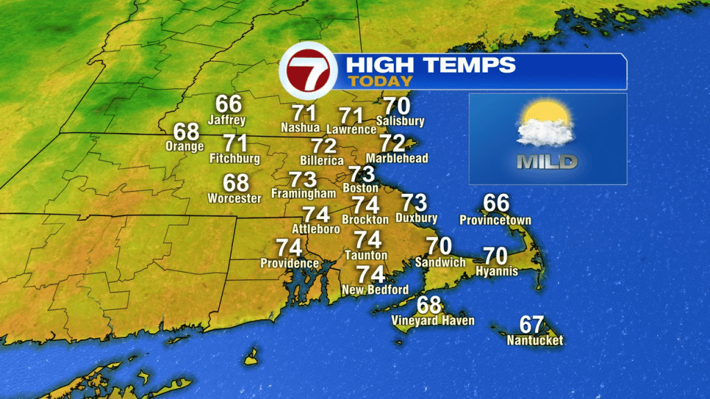
We walk out the door this morning to a much milder start with temps running in the 50s instead of the 30s. The breeze is back out of the southwest and will be gusty this morning, at times pushing to 30mph mid to late morning. A cold front slips through today too and those breezes turn more to the west to northwest this afternoon. Highs run in the mid to upper 60s in the Worcester Hills to low to mid 70s for eastern Mass. Although a brief passing shower is possible, much of the day turns out to be dry with a mix of sun and clouds.
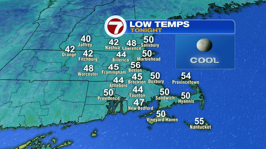
Tonight is mainly clear and a bit cooler with temps back in the 40s for many.
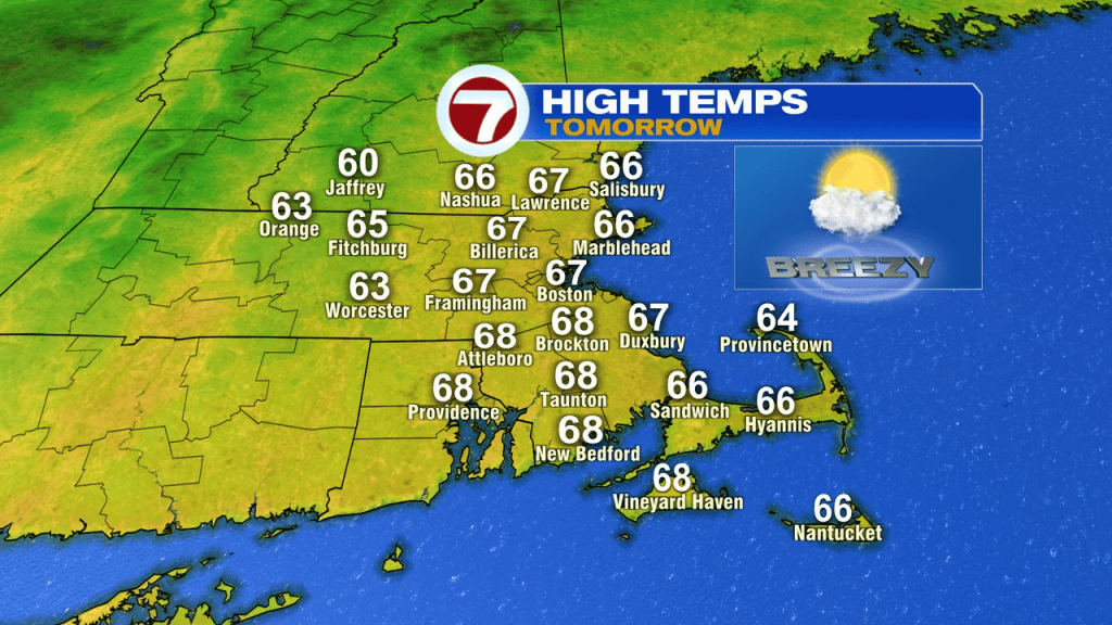
Tomorrow looks good, mid to upper 60s in the afternoon with a mix of sun and clouds and a bit of a breeze.
The breeze is lighter Saturday, and with bright skies and temps in the mid 60s, it’s a fantastic start to the long holiday weekend. Sunday looks dry during the day too, however, clouds will increase with the chance for showers going up by Sunday night.
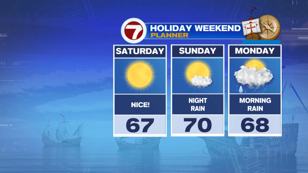
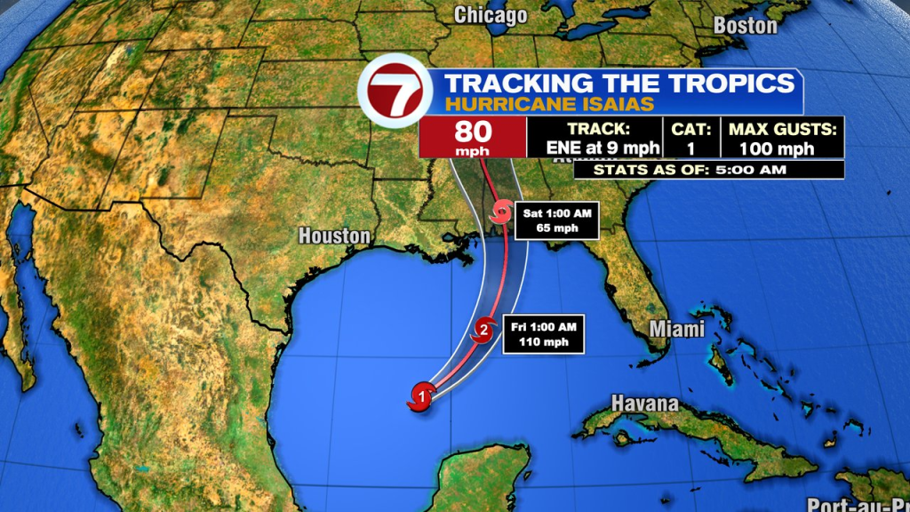
That moisture will come from the tropics as rain from Hurricane Isaias moves from the Gulf Coast, up into the Ohio Valley, points northeast. It’ll be a shadow of itself by the time any moisture gets in here and I don’t expect much wind either.
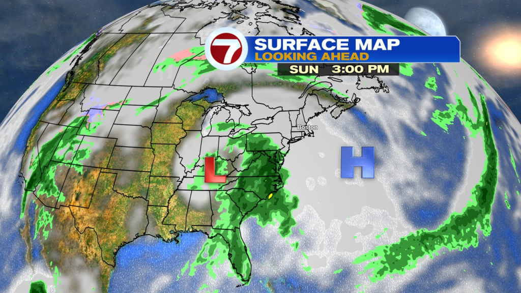
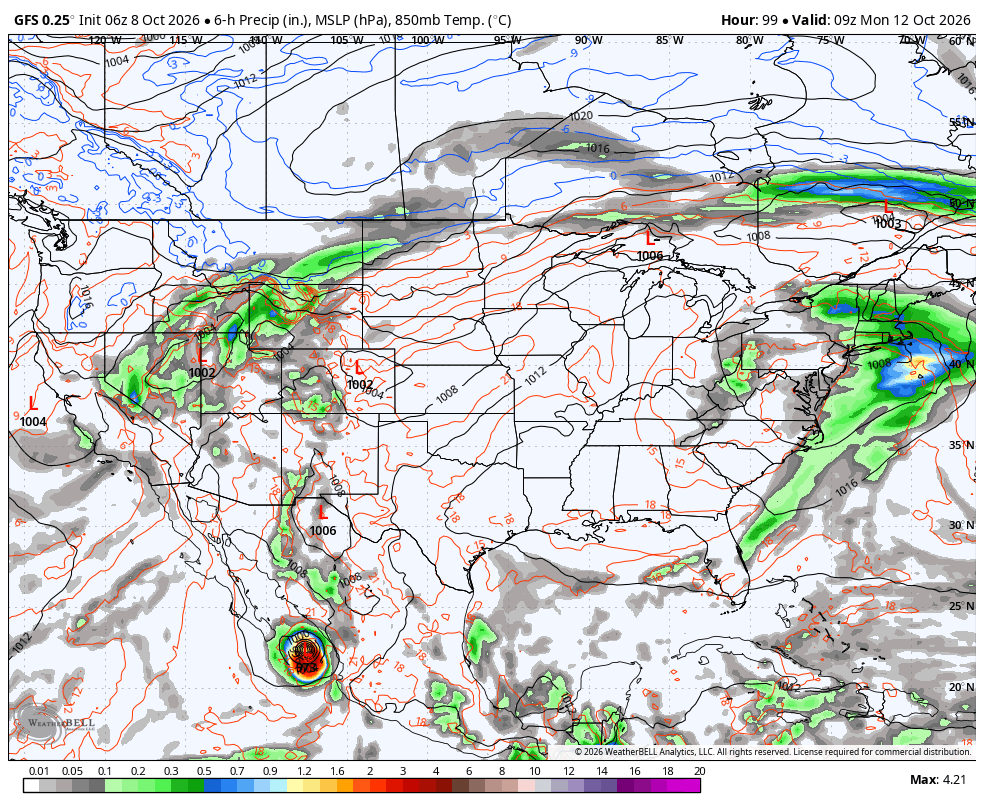
Isaias is the first Hurricane of the Atlantic Basin’s season and likely to make landfall along the Gulf Coast somewhere around the Alabama/western Panhandle of Florida coastline.