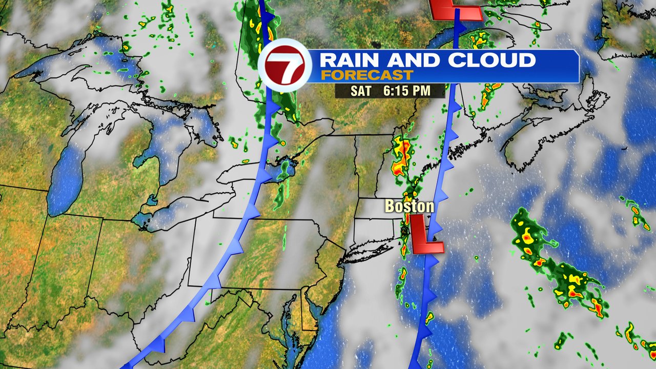
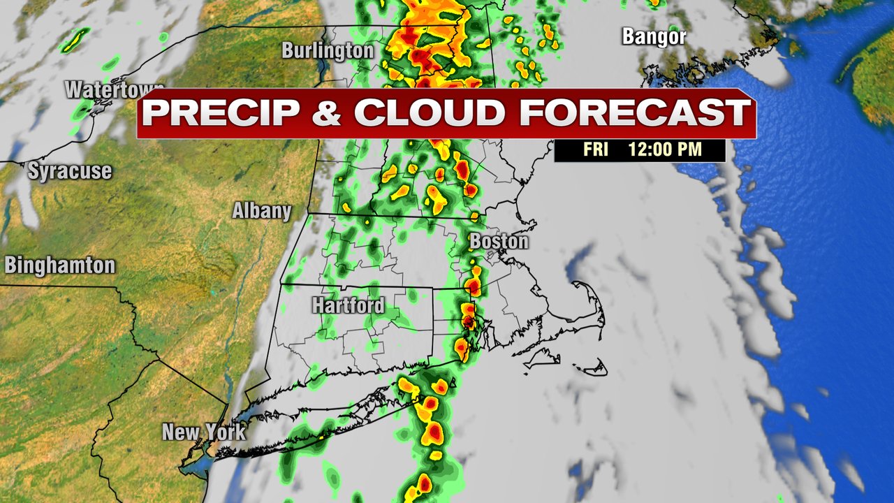
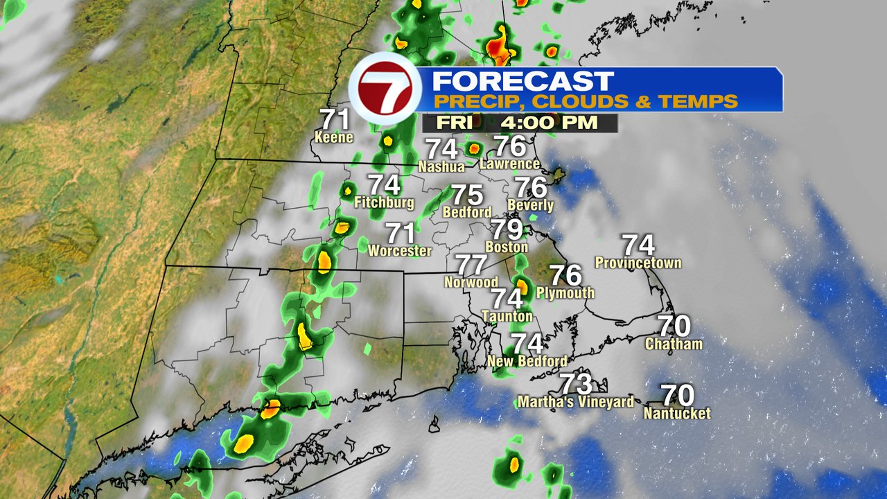
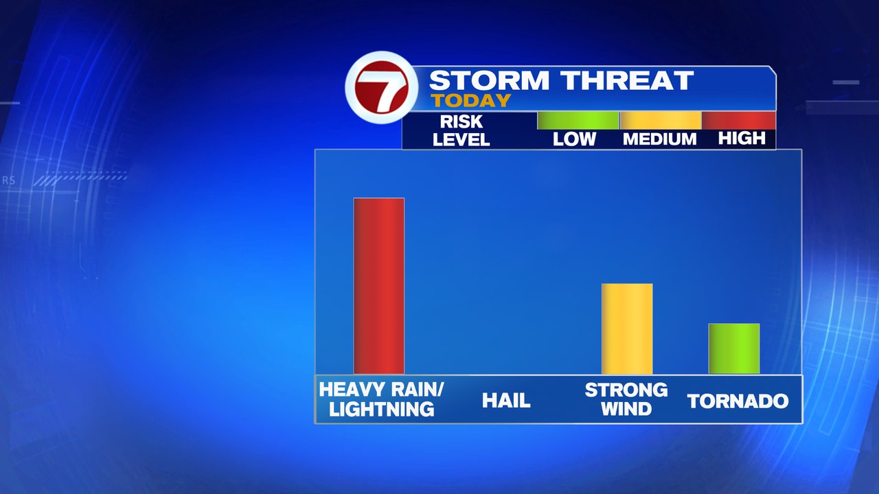
Scattered showers and storm get going early this morning in what will be an unsettled day overall. With the warmth and high humidity in place, these showers and storms have plenty of water vapor to fuel off of, producing localized tropical downpours at times. Although the severe risk isn’t widespread today, it’s not out of the question that an isolated severe thunderstorm or two could get going, producing damaging wind gusts or even a brief tornado. With that said, the tornado risk is low, just not zero as the atmosphere does have some spin to it.
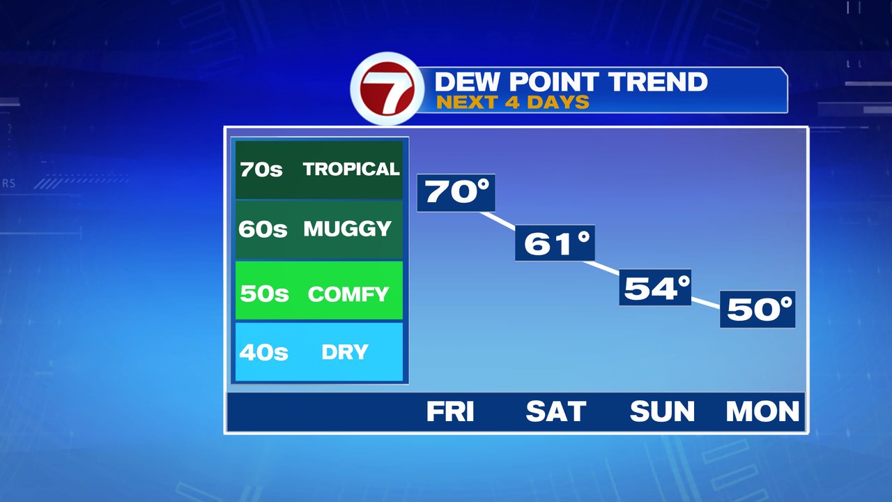
Scattered showers and storms are in and out tomorrow, so it’s not an all day washout, but also not a good day to take on a project if you need a full day of dry weather. In fact, tomorrow night, the rain chances go up as a wave of energy ignites mores showers/localized downpours overnight into predawn Sunday. Rain wraps up quickly Sunday morning, allowing for a nice day with lowering humidity and comfortable afternoon temps. The pattern is more typical of late September/early October next week, with temps Wednesday and Thursday not even getting out of the 60s for highs. Expect lots of 40s and 50s for lows.