

Good morning and happy Sunday! Today’s the final day of this magnificent stretch of weather, so make sure you get outside and enjoy it!
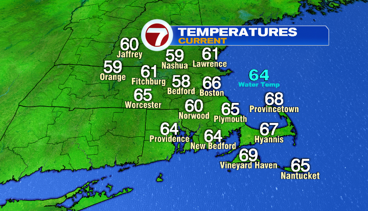
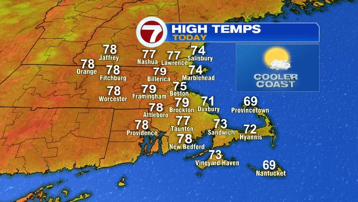
With our airflow coming off the water, we’ll be cooler today, with high temperatures in the 60s & 70s for the coast (particularly cooler for the Outer Cape and Nantucket), while inland cities will largely be in the upper 70s. We’ll be dry, both in terms of rain and the humidity, and stay mostly sunny for most of the day.
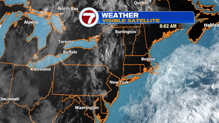
We’ll see more cloud cover for the Cape and Islands throughout the day, as well as some late day clouds for western Massachusetts as well.
While it may be a touch cool, it’s still a solid day for the beach!
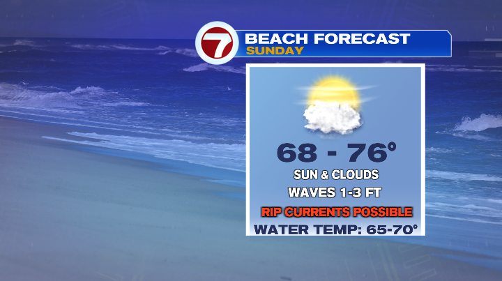
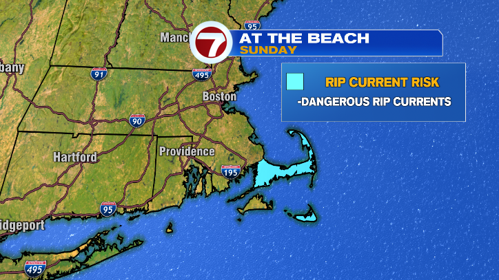
That said, if you’re headed to the water, just know we do have a rip current risk today for the Cape and Nantucket. Remember: if you ever get caught in a rip current, you want to turn and swim parallel to the shoreline (OUT of the rip current). Don’t try to fight the current– that’s how exhaustion happens!
On to Monday, and the changes in the forecast. Monday makes for a good transitional day, considering that it won’t be a soaker by any stretch, but it won’t be quite as picture-perfect as the last few days.
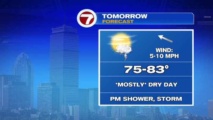
We’ll be mostly sunny, but clouds increase toward the end of the day (humidity creeps up just a bit as well), and we could see a late-day shower or storm, particularly for central and western Mass. Any rain will be isolated, but it’s the first real chance we’ve had for a few drops in a couple of days.
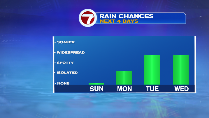
Rain chances only go up Tuesday and Wednesday as our next storm settles in. Low pressure is the dominant force of the forecast for the middle of the week, and this system will drive rounds of showers and storms between midday Tuesday and midday Thursday, with the heaviest rain likely on Wednesday.
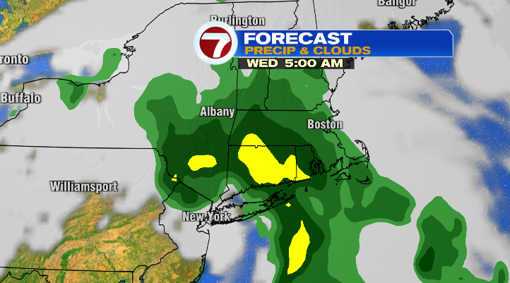
This storm looks like it’ll make for some uncomfortable conditions, with the potential of ponding on roadways and even some isolated flooding. This will be the “thing to watch” as we reach the middle of the week.