

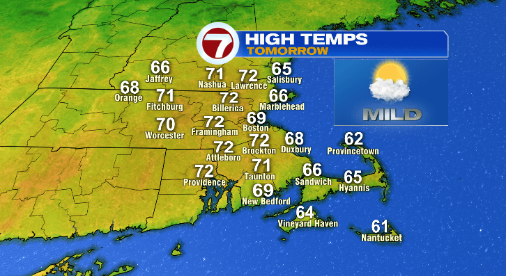
Happy Monday! It’s a beautiful day out there with highs in the 60s and 70s. The warming trend will continue through midweek with chances for rain late this week and weekend.
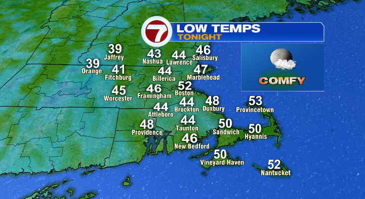
First, evening temperatures will be mild in the 60s and 50s with overnight lows only dropping to the 40s and 50s under dry and partly cloudy skies:
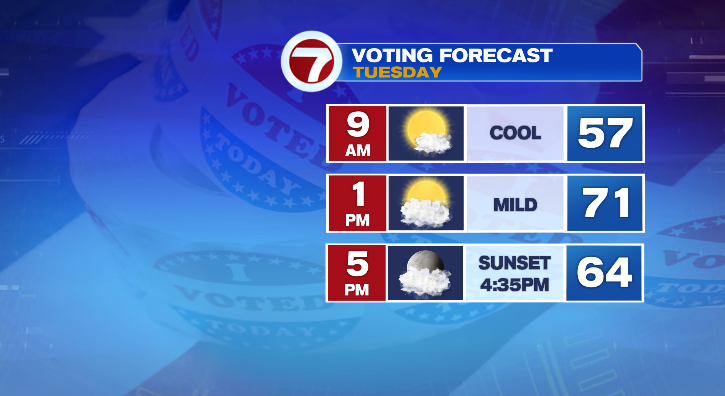
We’ll be even warmer for your Election Day than today! Overall, a few degrees warmer than today with mostly to partly sunny skies.
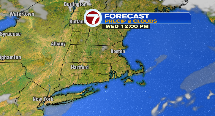
The dry stretch continues into Wednesday. The day will begin in the upper 40s and low 50s with afternoon highs way into the mid 70s! Couple that with bright, mostly sunny skies and that’s going to feel incredibly warm!
Thursday morning won’t be overly cold at all, starting the day in the 50s with warm afternoon temperatures in the low 70s still. Skies look dry and partly sunny throughout the day, with some spotty rain chances beginning in the evening and increasing overnight.
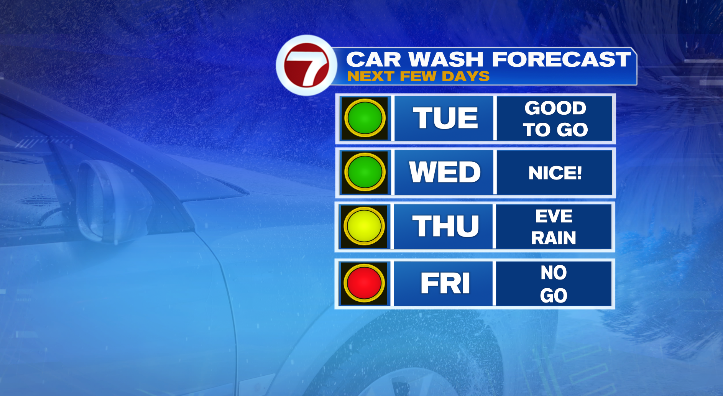
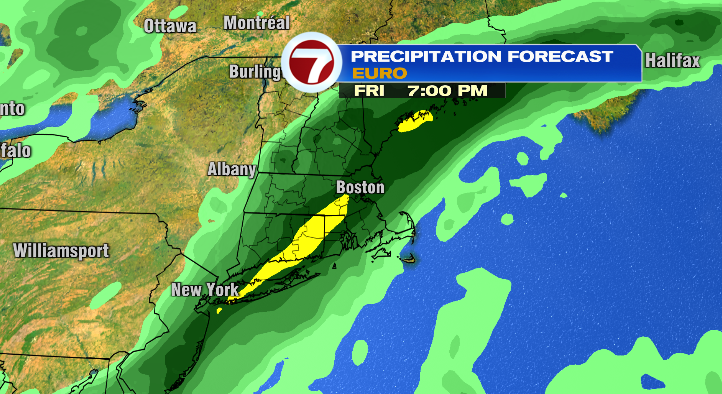
Friday: break out the rain gear! We’re facing likely rain for a good chunk of the day. Skies will be cloudy, and temperatures mild. Morning lows will be in the 50s with highs in the upper 60s nearing 70 degrees. It won’t be overly windy so an umbrella should be just fine.
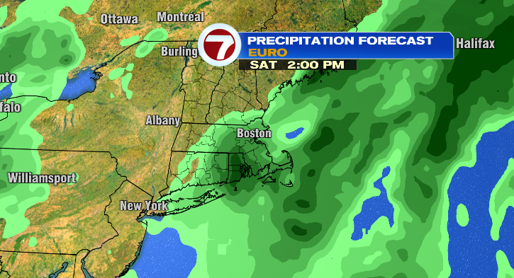
The temperature cooldown begins Saturday! The morning won’t be too bad in the 50s but highs will only reach the low 60s. The rain chances continue, but they’re looking more scattered than Friday.
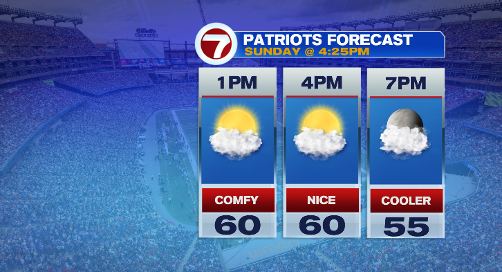
Sunday will be noticeably cooler, including for the Pats game. Lows will once again reach the 40s with highs near 60 degrees. We’ll be dry.
Monday morning, prepare for the chilly 30s again with cool afternoon highs in the upper 50s. Rain showers will be back! Stay tuned.