How about that summer day we had for ourselves yesterday? Yeh, we need to work on the timing of that and save a day like it for the weekend. Anyway, it was a beauty with highs in the low to mid 80s, sunshine and low humidity.
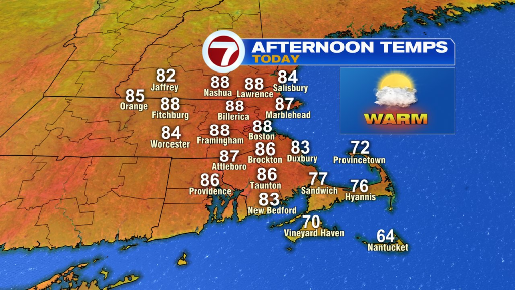
Today, we’ll step up the temps a notch, and the humidity a couple notches. As highs head for the mid to upper 80s, dew points rise toward 60, bringing in a bit of mugginess to the summery afternoon.
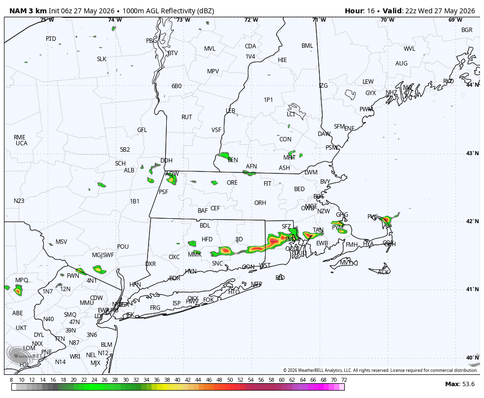
As a cold front drops in mid to late afternoon, it will also trigger a few isolated to scattered showers and storms. The chance south of the Pike is higher than north as any shower north of the Pike is few and far between. Across Southeast Mass, RI and CT, the combo of instability and moisture is a bit more conducive for a late afternoon thunderstorm.
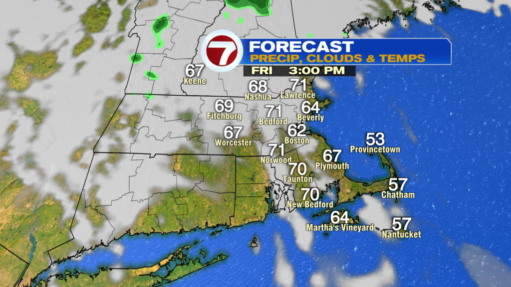
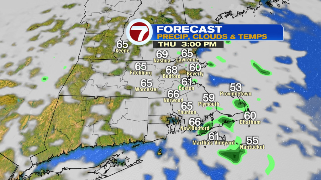
Behind the front, tomorrow and Friday temps will run in the low 60s at the coast and low 70s inland. Scattered showers pop-up midday/afternoon showers fire tomorrow with the highest chance for them across eastern Mass.
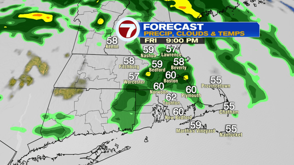
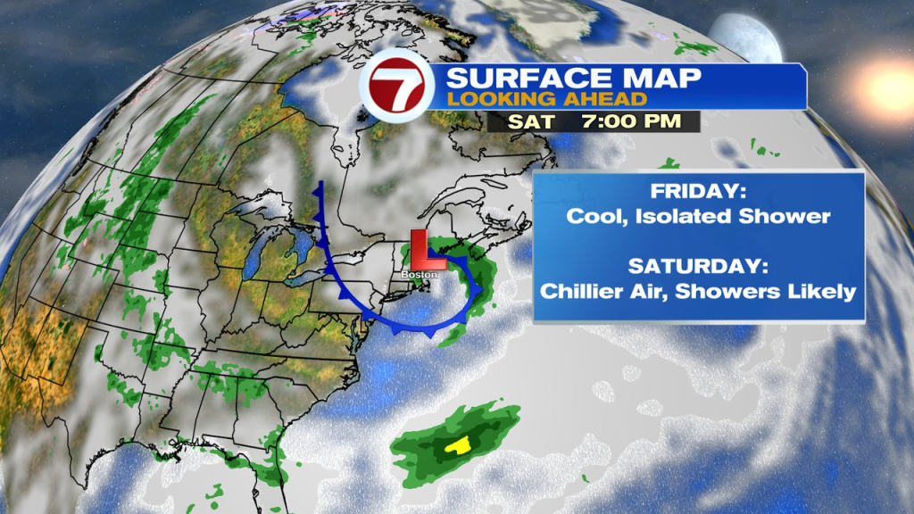
Friday looks mainly dry for awhile, before more shower action drops in from the northwest Friday evening. Batches of showers will be in and out through Saturday night, providing an unsettled at times start to the weekend. In addition, it’ll be cool with temps struggling to get much above 60. Sunday looks better with temps in the low 60s coast to near 70 inland.