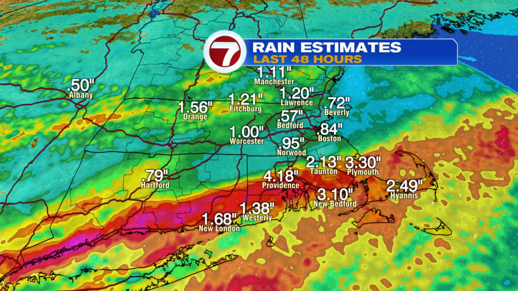
Big rain totals fell near the south coast of Southern New England yesterday, with many locations south of Route 44 in SE Mass, southern half of Rhode Island and southern CT, recording 2-5″+ of water.
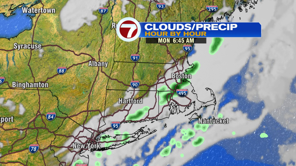
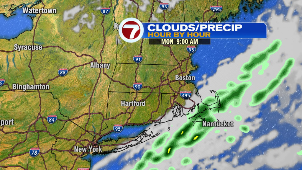
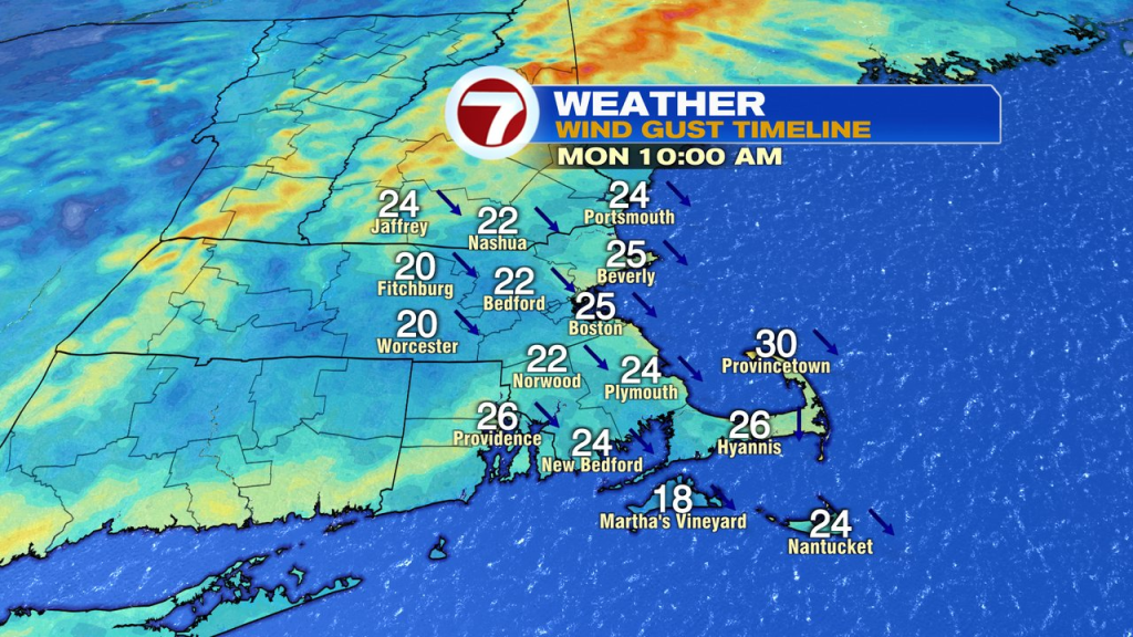
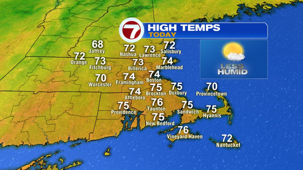
This morning, a few scattered showers pass through from the 6-9am timeframe from west to east. Last locations to see them will be across the Cape and Islands. Once those showers move east of you, sunshine returns, dew points drop off and we enjoy a nice day from mid morning, through the afternoon. A bit of a breeze kicks in too, with west to northwesterly winds gusting 20-30mph. Temps this afternoon run in the low to mid 70s.
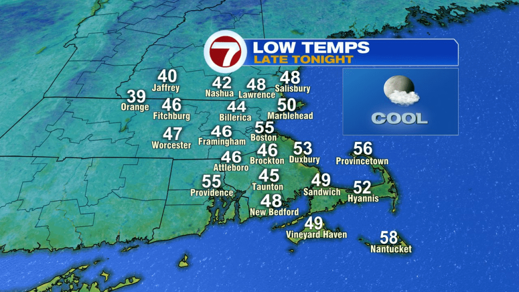
Tonight is crisp and cool with lows fading back into the 40s for many.
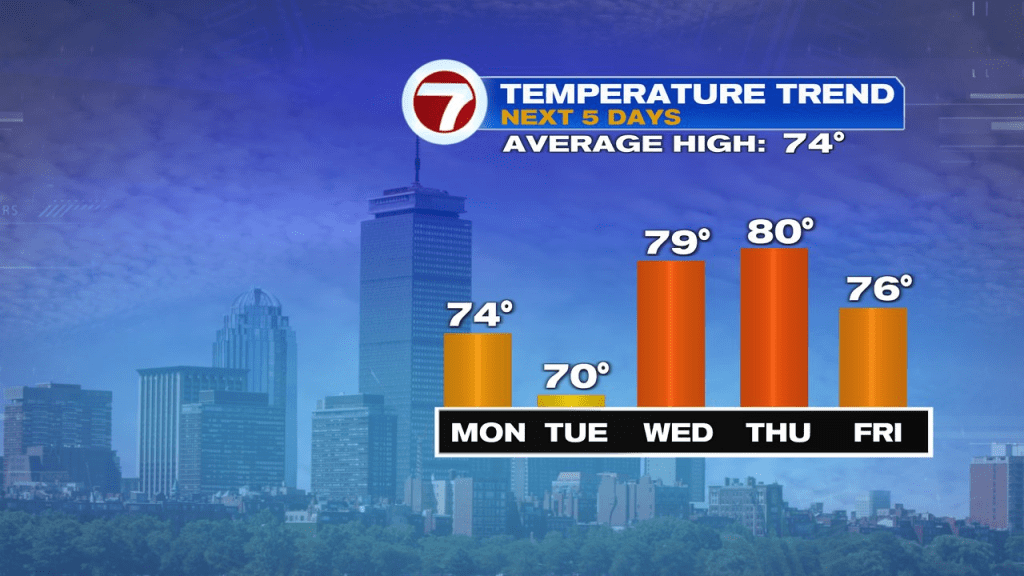
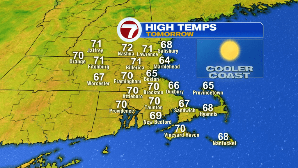
It’ll be bright and crisp tomorrow with temps near 70-72 inland and 60s along the coast. Dew points/humidity stays very low.
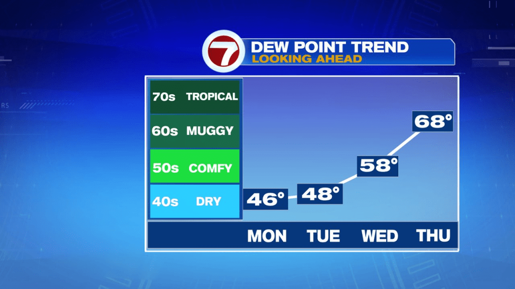
Temps bounce back Wednesday into Thursday to near 80 degrees. Humidity increases too, especially by Thursday afternoon. Late Thursday, through Thursday night, a front will likely produce some showers. Most of those end by early Friday morning. Another round of showers is possible by Sunday.