It’s a mild start to the day with temperatures in the mid 50s early on as a few patches of clouds and spotty sprinkles/brief shower zips through. By mid to late morning, the sunshine’s back out and temps jump up to near 70 degrees. The breeze is gusty, pushing 20-30mph out of the northwest this afternoon. Temps max out around midday/early afternoon, then start to slide quickly late afternoon. By 5pm, we’re back into the 50s, on our way into 30s and 40s by daybreak.
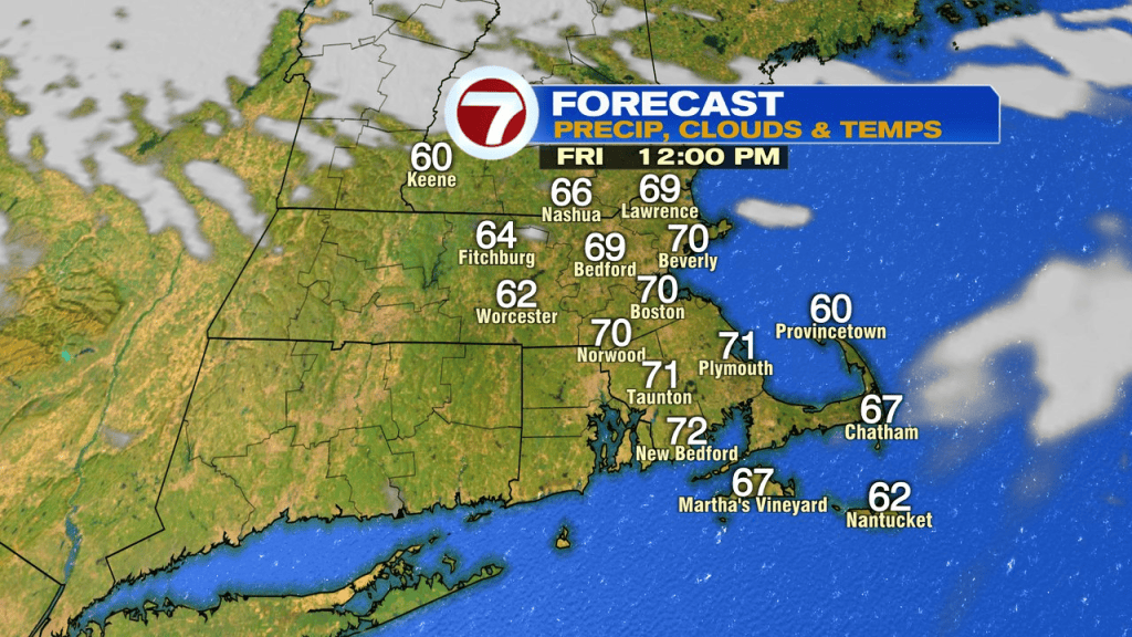
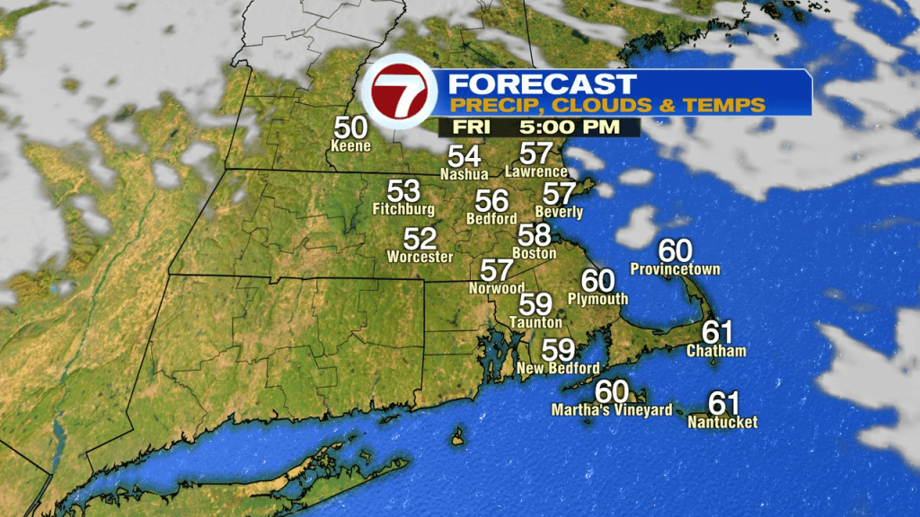
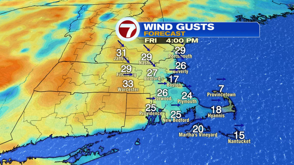
Mostly sunny skies win out for Halloween as highs rebound into mid 50s. The wind is a bit gusty in the morning, 15-25mph, but subsides in the afternoon and evening. Light winds and clear skies are in store for those Trick-or-Treaters. Temps do fade pretty quickly, so plan on temps in the low to mid 40s in the early evening. By daybreak Sunday, temps run in the mid to upper 20s for many of the colder burbs.
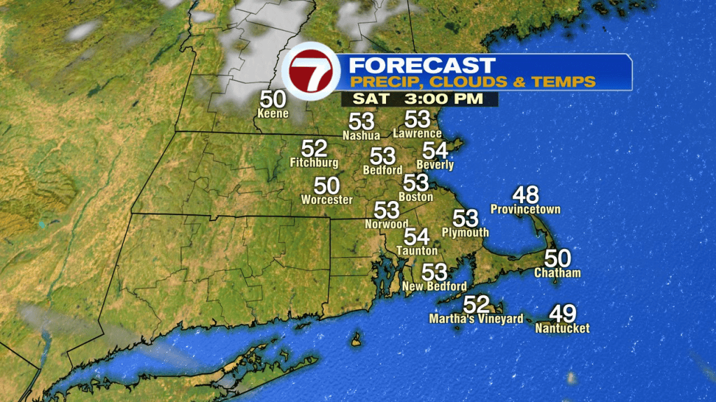
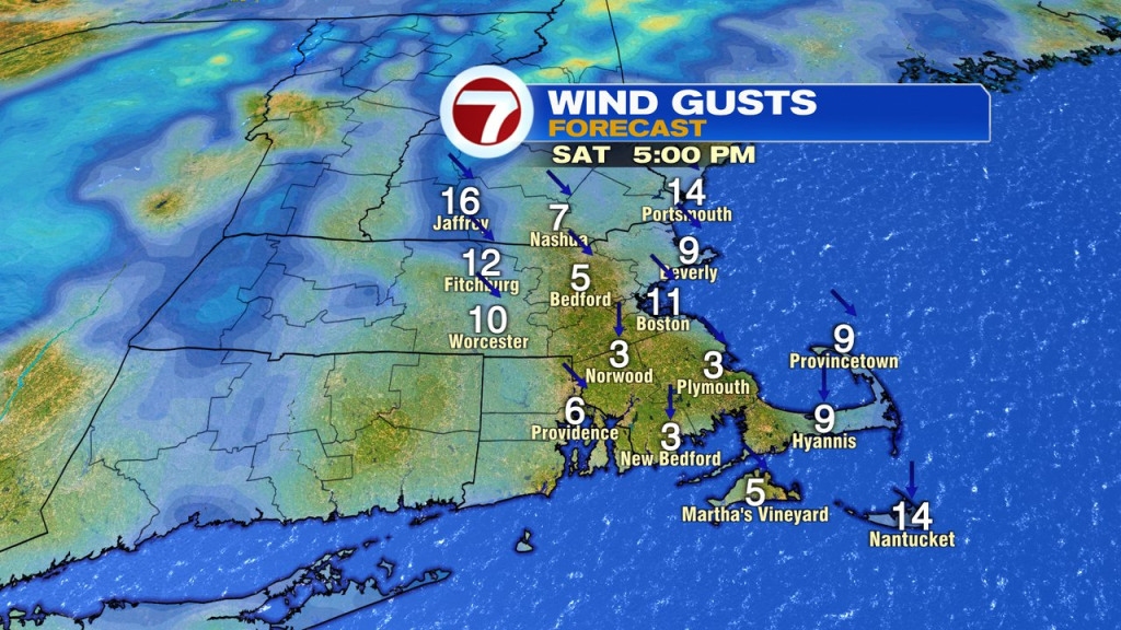
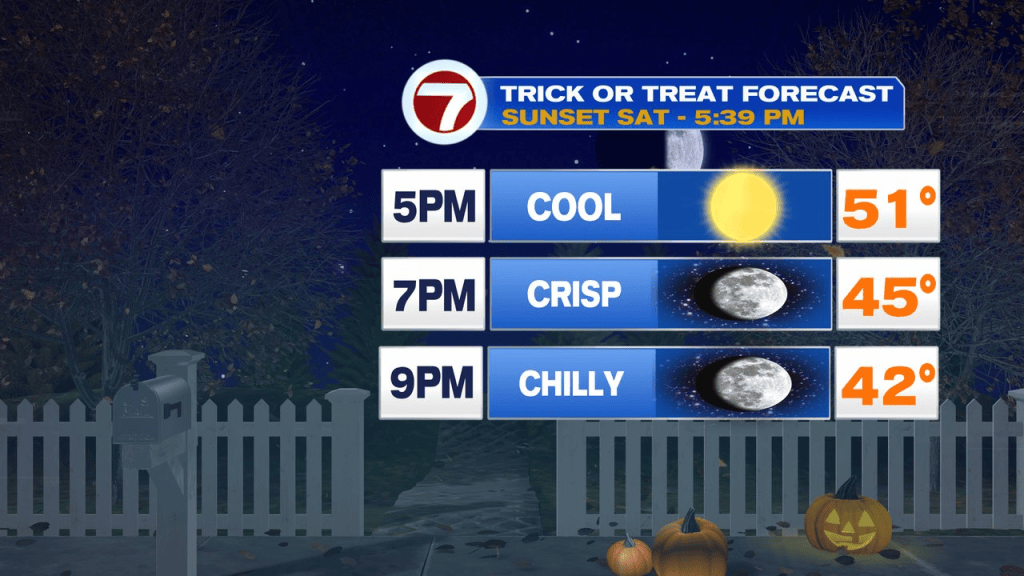
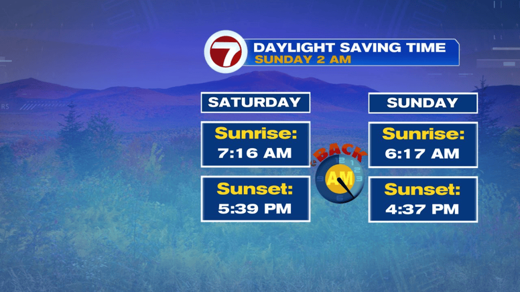
Sunday’s bounce back is nice, to near 60. The scariest part of the Halloween forecast may be that 4:37pm sunset on Sunday! Yikes. Clocks go back 1hr Sunday morning.
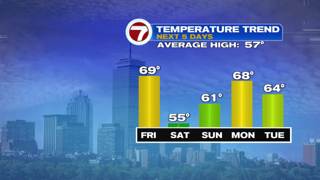
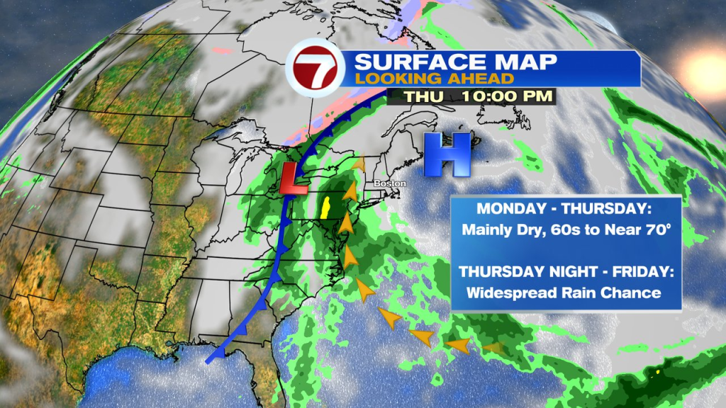
Much of next week looks mild, 60s to near 70. We’re pretty much dry through early to mid week with the shower chances not increasing until Thursday afternoon. The highest chance for rain next week looks to start Thursday night or Friday as plenty of moisture streams up the coast and in from our west too.