

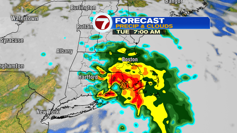
Happy Sunday! We’ve had clouds around today, and we still can’t rule out a spot shower this evening. Still, Monday looks great before rain showers roll in Monday night.
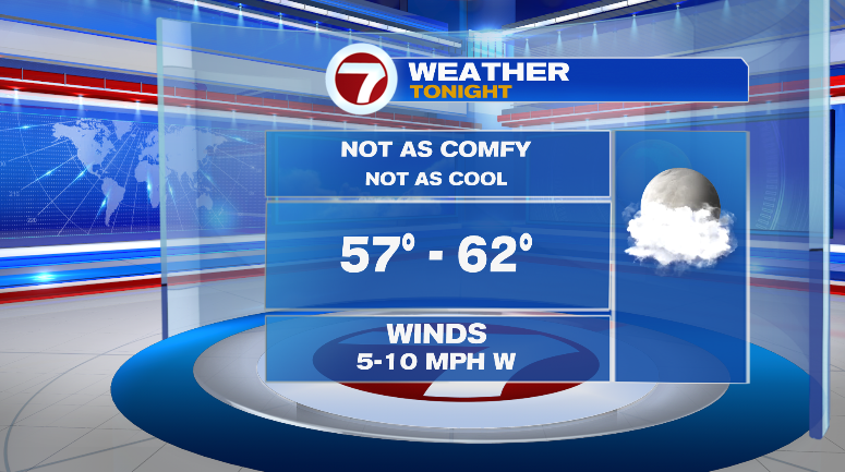
Through about midnight there will be some spot showers out there. Overnight, it won’t be bad, but not quite as comfortable and cool as the last few nights. Higher elevation spots in north central Mass. might get down to the mid 50s and some spots on the Cape the mid 60s but most of us fall in the range of the upper 50s and low 60s. Dew points will be in the low to mid 60s to start the night.
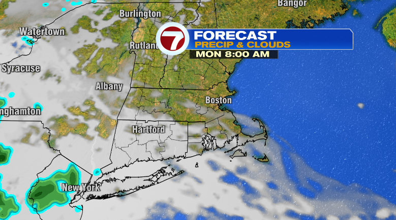
Monday will be the nicest day this week! Plenty of sunshine for most of the day.
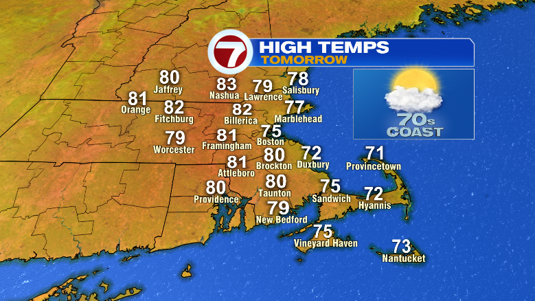
Highs will reach the upper 70s and low 80s inland, but there will be a noticeable cooler trend along the coast. Dew points will be comfortable in the 50s.
Monday night around bedtime we’ll see the return of some rain chances. Those rain chances will kick off rain chances for the rest of the week….
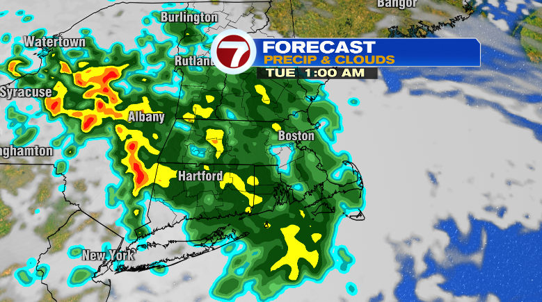
Now it won’t be raining every moment of the next week after Tuesday. But from Tuesday through Thursday we’ll have multiple rounds of rain with some potential rumbles of thunder.
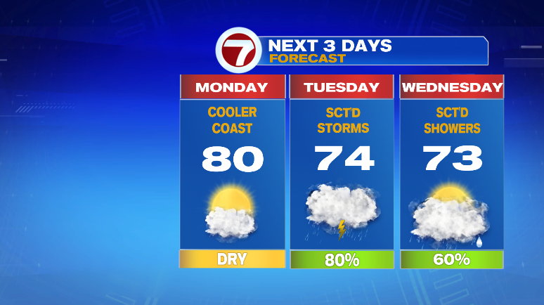
Tuesday: scattered showers and storms with temperatures in the 60s and 70s with high humidity. Wednesday, more scattered showers and highs in the low 70s. Thursday, scattered showers and storms with highs in the upper 70s.
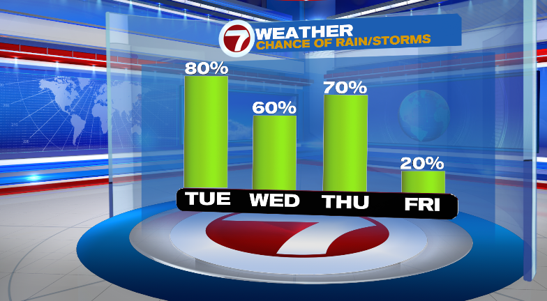
Thankfully chances dwindle toward the weekend. Friday we’ll see a little bit more sun with a low-end chance for a spot shower. Lows start near 60 with highs in the mid to upper 70s. It’ll still be humid that day, too. Saturday a shower is possible between partly sunny skies and temps in the 60s and 70s. Sunday we’re drying out but cooling off with highs only in the low 70s. Stay tuned!