

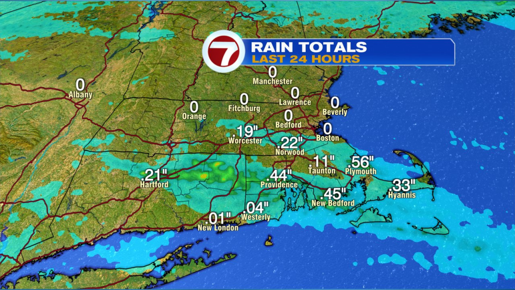
Some showers and storms slipped through last night, dropping a drink for the some of lawns and gardens near and south of the Pike. North of Boston, we didn’t pick up much.
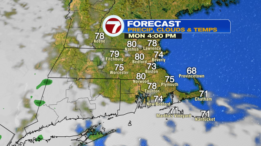
In the wake of those showers and storms that did slip through, humidity is lowering again as dew points fade back into the 50s. Today is dry from start to finish as some sunshine returns with temps near 80 in the afternoon inland, low to mid 70s at the coast.
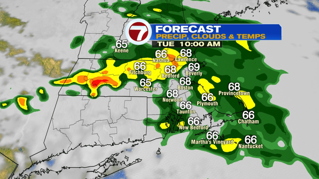
While today will be nice, unsettled weather starts to work in by tomorrow morning as a front to our west gets close enough to allow batches of scattered showers and storms to roll on through. We’ll stay on the cooler side of the front with temps stuck in the 60s to low 70s tomorrow. The most widespread rain will be in the morning/midday with some afternoon lulls in the wet weather.
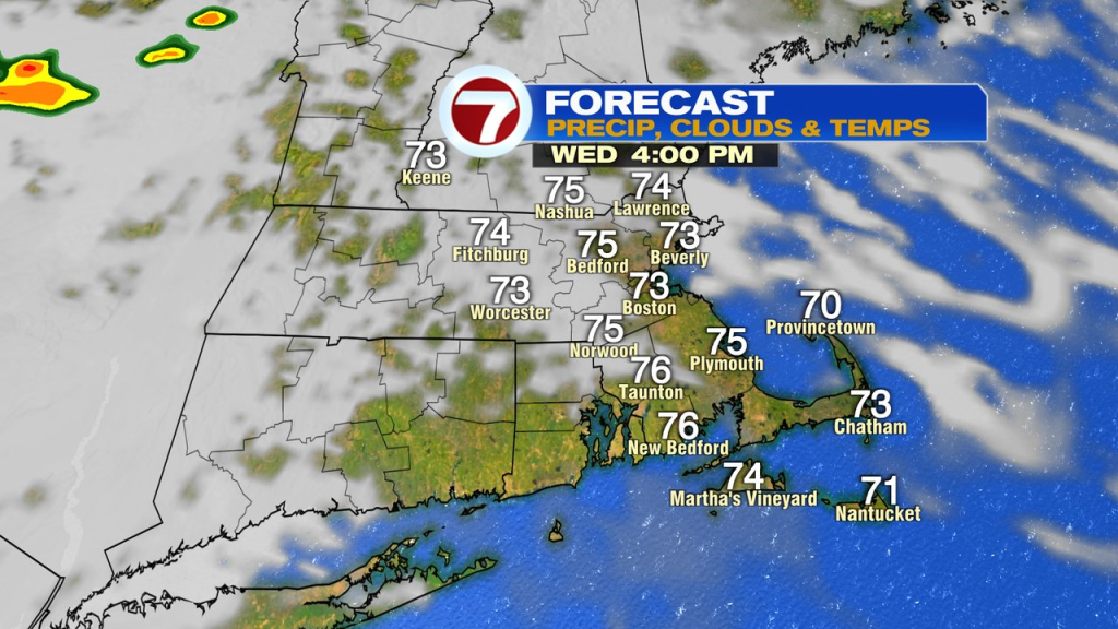
Wednesday is better with just an isolated shower amid a partly sunny day. Highs run in the mid 70s.
Mugginess returns Thursday again with waves of scattered showers/storms once again in the mix. Localized downpours are possible then as the atmosphere will have plenty of juice to it.
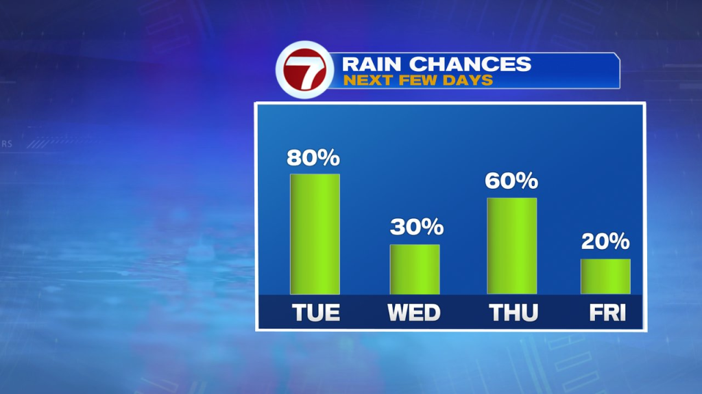
Friday, through Labor Day weekend looks comfortable with lower humidity. While chilly air a loft will still provide the chance for an isolated shower or two Friday and Saturday, much of the stretch looks dry.