

Happy Monday! Today was another extension of this past weekend. Lots of sunshine, cooler temperatures and no humidity. But guess what? We’re tracking some big changes starting tonight.
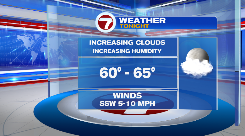
First, evening temperatures will tumble. While it’s been much cooler today at the coastline than farther inland, we should all be dropping into the range of the 60s overnight. Clouds will begin to roll in and humidity will creep up, too.
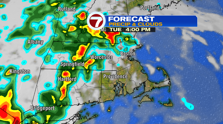
There’s a low chance for a spot shower or storm the rest of today, but the real storm chances begin Tuesday. Spotty showers and thunderstorms will pop up, mainly in the afternoon hours. Even before then, right as you walk out the door you’ll notice the high humidity.
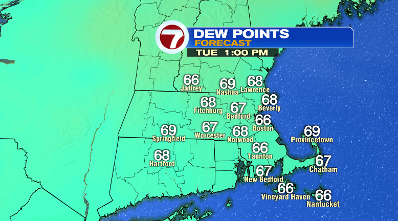
Some of the storms could produce some isolated flash flooding on roads, so be extra vigilant! Otherwise, highs will be warm in the low 80s. The humidity will make that feel like the mid 80s.
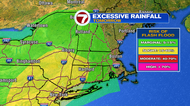
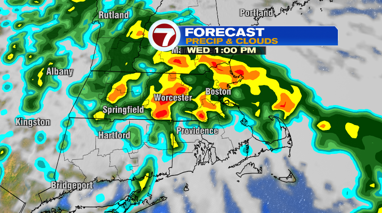
Wednesday looks to be the wettest day this week. We’re talking a widespread, long-lasting, soaking rain with winds gusting to 20-30 mph. Again, watch out for some flash flooding during your commutes.
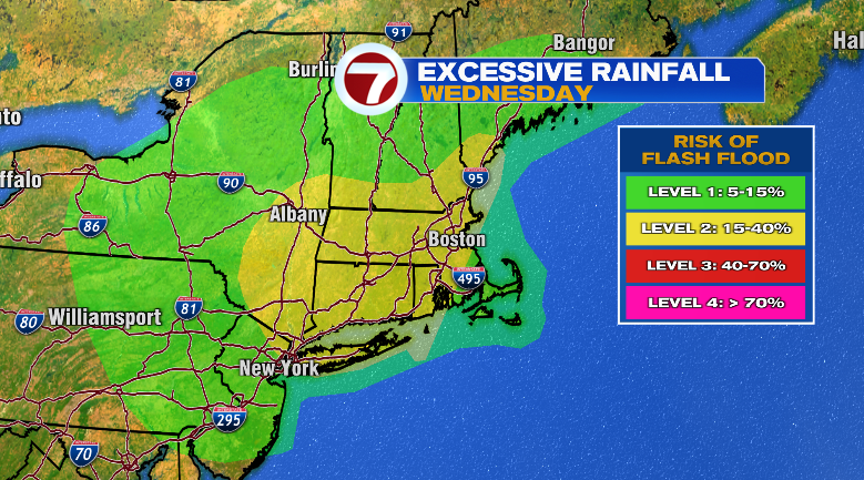
It won’t be raining every second of the day, but it will be raining much of the day. The rain and cloud coverage will keep highs cooler in the low 70s. But with the humidity that’ll still feel like it’s close to 80 degrees anyway.
Thursday is more of the same. Rain showers, downpours and some thunderstorms. Highs stay cool in the low 70s but humidity will be extreme.
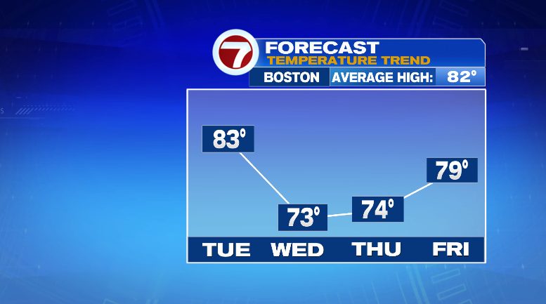
Friday looks better. We could still see some scattered thunderstorms, but they’re looking much less numerous. It’ll be humid still, too, with highs in the upper 70s. The sun will be popping out a bit. Both Saturday and Sunday look partly sunny with low rain chances and highs in the low 80s. Monday starts our new work week dry and in the mid 80s. Stay tuned!