

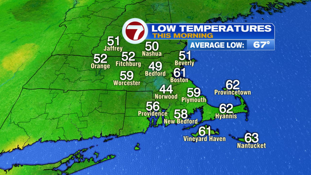
A little bit of a chill is in the air this morning with temps in the 40s and low 50s for many. Today, we’ll warm up quickly with highs pushing past 80 inland and running in the 70s along the coast. It looks dry from start to finish for most, with just an isolated shower west of 495 late this afternoon. Enjoy, as today will be the pick of the week.
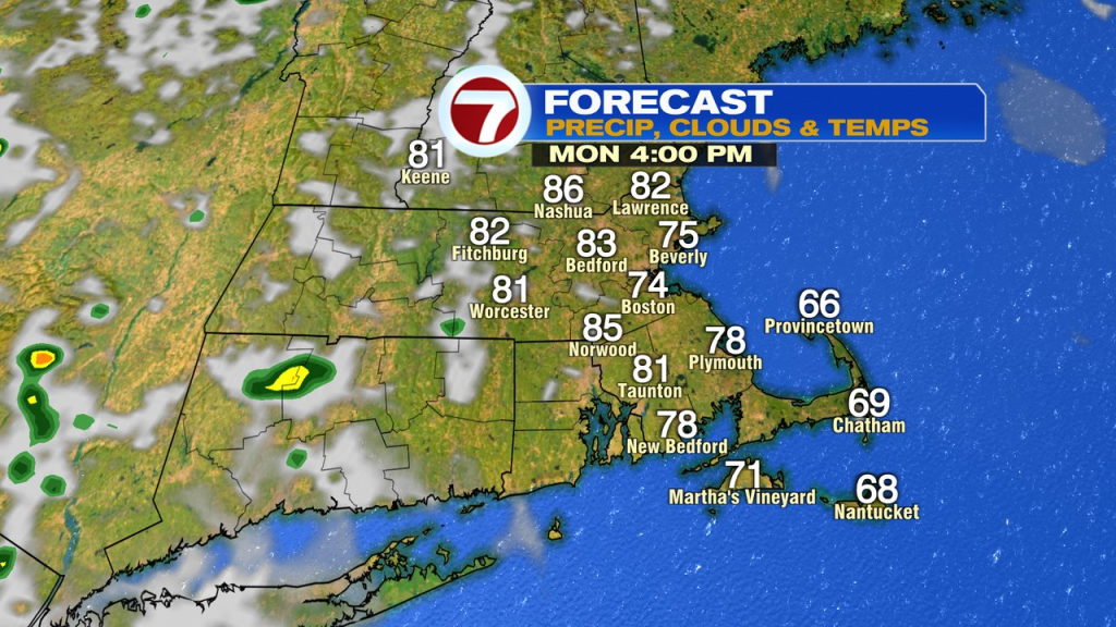
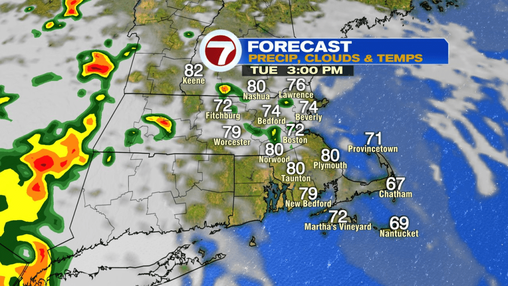
While it’s not a washout by any stretch, tomorrow we will track a few scattered showers and storms midday, into the afternoon. The best shot for them will be near and north of the Pike. Highs hover near 80 with dew points jumping up into the mid 60s to near 70. A much more soupy feel to the air tomorrow for sure.
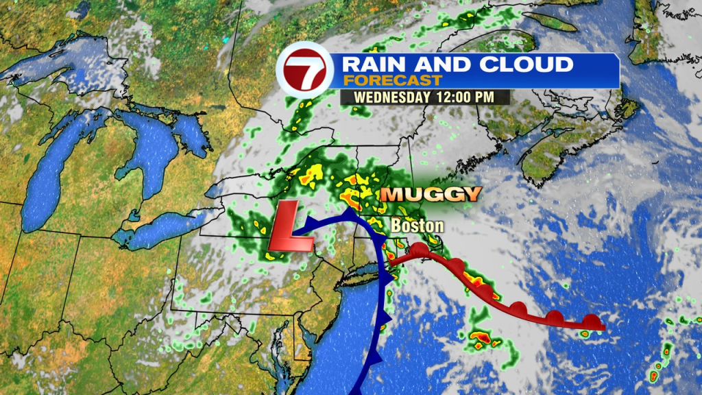
Wednesday, into Thursday, we’ll track an area of low pressure moving in from the west, it’ll pinwheel in rounds of showers and storms with locally heavy rain across Southern New England. While the track of the low, and where it redevelops, will dictate who gets the heaviest rain, the potential is there for narrow bands of heavy rain to produce localized street/poor drainage flooding.
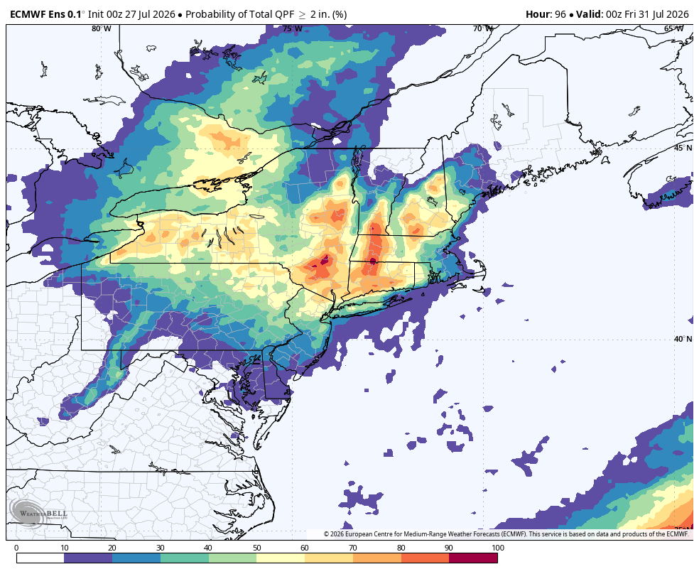
Overall, during the Tuesday through Thursday timeframe, the highest risk for at least 2″ of rain, favors interior New England. Probabilities on the European model for 2″+ is actually quite high, other models are lower, but something to watch for.
Late-week, into the weekend, that area of low pressure will start to lose it’s influence across our area. The air aloft is still on the cooler side, so a few spotty pop-up showers/storms are possible over the weekend, but we’ll also see many more dry hours and breaks of sunshine in the mix with temps back into the 80s.